| Well Information Table |
|---|
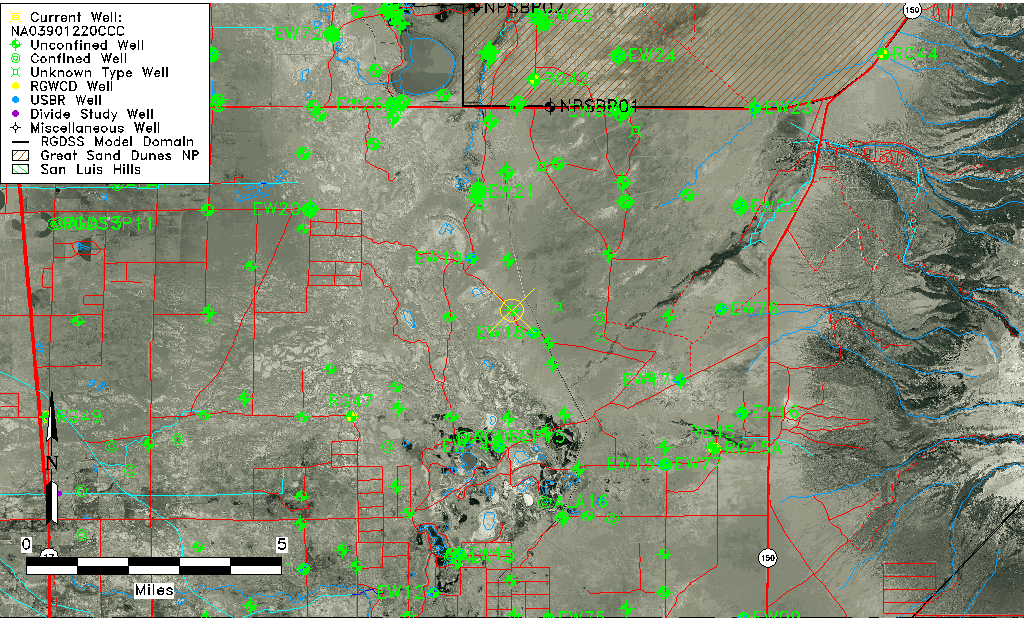
| Common Well ID | NA03901220CCC |
| USGS Well ID | 373620105413201 |
| USGS Station Name | NA03901220CCC |
| USGS Construction Date | 01/01/1966 |
| USGS Site Type | Well |
| USGS Site Use Information | Observation |
| USGS Groundwater Use Information | Unused |
| Data Source(s) | USGS |
| Location Data |
|---|
| TRS | NA03901220CCC |
| USGS TRS 1 | NA03901220CCC |
| USGS TRS | SWSWSWS20 T39 R12 N |
| Longitude/Latitude (NAD83) | -105.69279480 , 37.60555850 |
| Longitude/Latitude Data Source | GWSI decimal LAT/LONG field |
| USGS Longitude/Latitude (NAD83) | -105.6927948 , 37.60555850 |
| Easting, Northing RGDSS-NAD83 (US ft) | 194582.45 , 221935.60 |
| USGS Topography | Undulating |
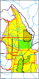
| USGS County | Alamosa County |
| USGS Map Name | DRY LAKES |
| USGS Map Scale | 24000 |
| Elevation and Depth Data |
|---|
| Ground Elevation (ft NAVD88) | 7524.12000000000 |
| Elevation Data Source | USGS GWSI database |
| USGS Ground Elevation (ft NGVD29) | 7520.00 |
| 1/3-Arc Second NED Ground Elevation (ft NAVD88) | 7529.00 |
| 1-Arc Second NED Ground Elevation (ft NAVD88) | 7527.47 |
| SRTM Ground Elevation (ft NAVD88) | 7536.29 |
| Total Depth (ft) | 13.90 |
| USGS Well Depth (ft) | 13.90 |
| Model Layer | 1 |
| Model Layer Source | Well Depth |
| Depth of Bottom of Layer 1 | 66 |
| Depth of Bottom of Layer 2 | 370 |
| Depth of Bottom of Layer 3 | 1071 |
| Depth of Bottom of Layer 4 | 3049 |
| Additional Well Information | Construction |
| Aquifer Information |
|---|
| Aquifer Type | Unconfined |
| Aquifer Type Source | TD Elevation/Model Layer |
| USGS Hydrologic Unit | San Luis |
| USGS Data Available | Water-level (GW.LEV) |
| Water-level Database Information |
|---|
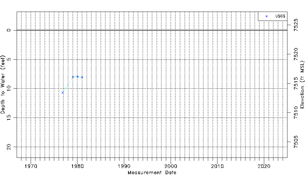
| Water-level Count | 4 |
| Water-level Date Range | 11/11/1976 thru 01/14/1981 |
| Monitored within the last 18 months | No, most recently on 01/14/1981 |
| Depth-to-Water Range (ft) | 7.95 to 10.70 |
| Water Table Elevation Range (ft NAVD88) | 7513.42 to 7516.17 |
| Water-Level-Source:Number-of-Measurements | USGSaguache Creek:4 |