| Well Information Table |
|---|
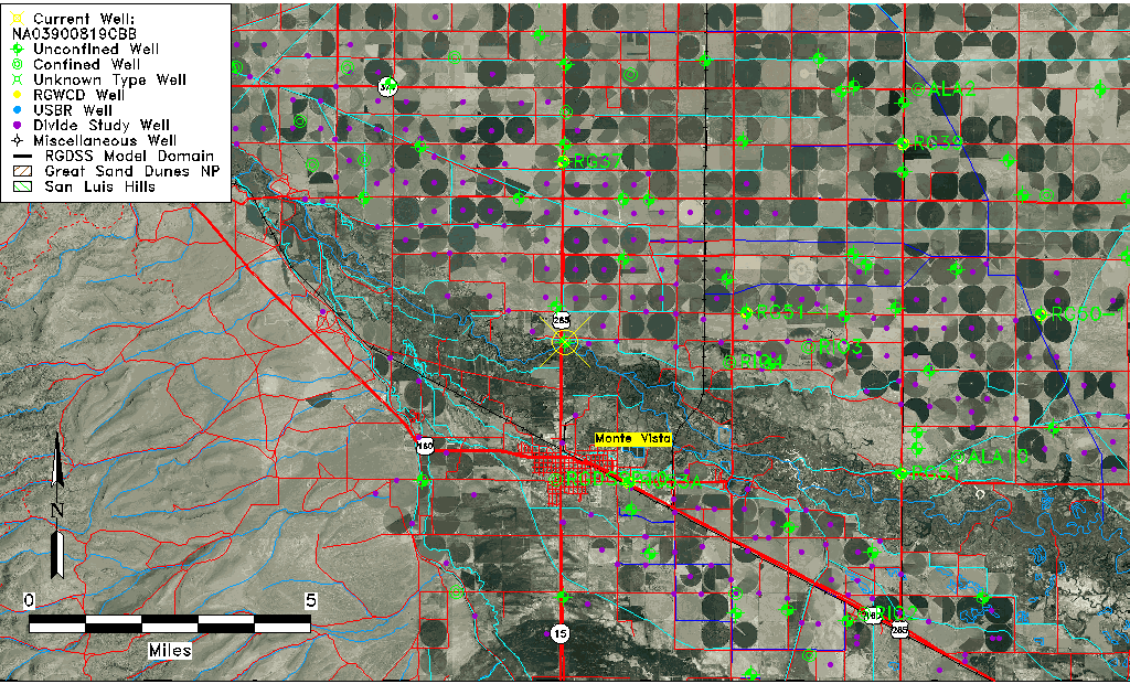
| Common Well ID | NA03900819CBB |
| USGS Well ID | 373637106085001 |
| USGS Station Name | NA03900819CBB |
| USGS Construction Date | 01/01/1968 |
| USGS Site Type | Well |
| USGS Site Use Information | Observation |
| USGS Groundwater Use Information | Unused |
| Data Source(s) | USGS |
| Location Data |
|---|
| TRS | NA03900819CBB |
| USGS TRS 1 | NA03900819CBB |
| USGS TRS | NWNWSWS019T0039NR0008EN |
| Longitude/Latitude (NAD83) | -106.14780640 , 37.61028039 |
| Longitude/Latitude Data Source | GWSI decimal LAT/LONG field |
| USGS Longitude/Latitude (NAD83) | -106.1478064 , 37.61028039 |
| Easting, Northing RGDSS-NAD83 (US ft) | 62816.64 , 224007.68 |
| USGS Topography | Valley flat |
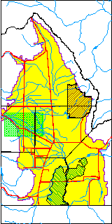
| USGS County | Rio Grande County |
| Elevation and Depth Data |
|---|
| Ground Elevation (ft NAVD88) | 7668.59000000000 |
| Elevation Data Source | USGS GWSI database |
| USGS Ground Elevation (ft NGVD29) | 7664.00 |
| 1/3-Arc Second NED Ground Elevation (ft NAVD88) | 7666.76 |
| 1-Arc Second NED Ground Elevation (ft NAVD88) | 7666.88 |
| SRTM Ground Elevation (ft NAVD88) | 7677.17 |
| Total Depth (ft) | 14.00 |
| USGS Well Depth (ft) | 14.00 |
| Model Layer | 1 |
| Model Layer Source | Well Depth |
| Depth of Bottom of Layer 1 | 67 |
| Depth of Bottom of Layer 2 | 234 |
| Depth of Bottom of Layer 3 | 443 |
| Depth of Bottom of Layer 4 | 1910 |
| Additional Well Information | Geohydrology, Construction |
| Aquifer Information |
|---|
| Aquifer Type | Unconfined |
| Aquifer Type Source | TD Elevation/Model Layer |
| USGS Primary Aquifer | Cenozoic Erathem |
| USGS Hydrologic Unit | Alamosa-Trinchera |
| USGS Data Available | Water-level (GW.LEV) |
| Water-level Database Information |
|---|
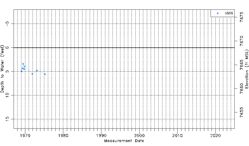
| Water-level Count | 8 |
| Water-level Date Range | 01/27/1969 thru 04/01/1975 |
| Monitored within the last 18 months | No, most recently on 04/01/1975 |
| Depth-to-Water Range (ft) | 3.40 to 5.58 |
| Water Table Elevation Range (ft NAVD88) | 7663.01 to 7665.19 |
| Water-Level-Source:Number-of-Measurements | USGS:8 |