| Well Information Table |
|---|
| Common Well ID | NA03900713DDD |
| USGS Well ID | 373710106090001 |
| USGS Station Name | NA03900713DDD |
| USGS Construction Date | 01/01/1968 |
| USGS Site Type | Well |
| USGS Site Use Information | Observation |
| USGS Groundwater Use Information | Unused |
| Data Source(s) | USGS |
| Location Data |
|---|
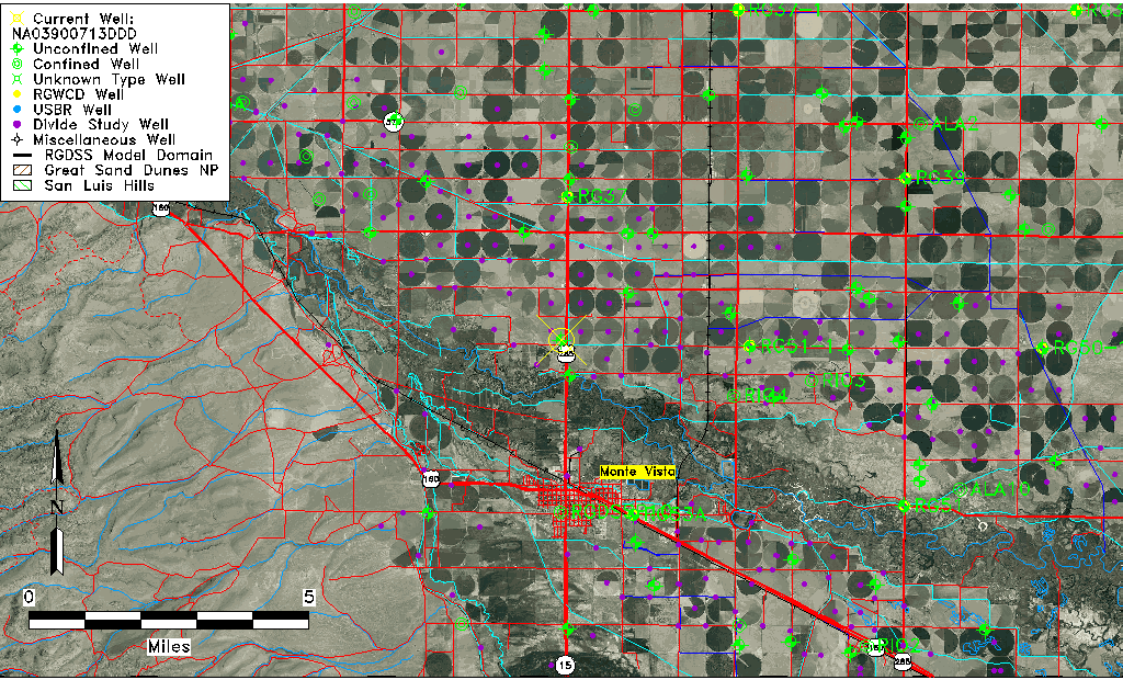
| TRS | NA03900713DDD |
| USGS TRS 1 | NA03900713DDD |
| USGS TRS | SESESES013T0039NR0007EN |
| Longitude/Latitude (NAD83) | -106.15058420 , 37.61944697 |
| Longitude/Latitude Data Source | GWSI decimal LAT/LONG field |
| USGS Longitude/Latitude (NAD83) | -106.1505842 , 37.61944697 |
| Easting, Northing RGDSS-NAD83 (US ft) | 62029.33 , 227348.73 |
| USGS Topography | Valley flat |
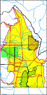
| USGS County | Rio Grande County |
| Elevation and Depth Data |
|---|
| Ground Elevation (ft NAVD88) | 7673.60000000000 |
| Elevation Data Source | USGS GWSI database |
| USGS Ground Elevation (ft NGVD29) | 7669.00 |
| 1/3-Arc Second NED Ground Elevation (ft NAVD88) | 7674.57 |
| 1-Arc Second NED Ground Elevation (ft NAVD88) | 7674.19 |
| SRTM Ground Elevation (ft NAVD88) | 7680.45 |
| Total Depth (ft) | 18.00 |
| USGS Well Depth (ft) | 18.00 |
| Model Layer | 1 |
| Model Layer Source | Well Depth |
| Depth of Bottom of Layer 1 | 69 |
| Depth of Bottom of Layer 2 | 241 |
| Depth of Bottom of Layer 3 | 366 |
| Depth of Bottom of Layer 4 | 1971 |
| Additional Well Information | Geohydrology, Construction |
| Aquifer Information |
|---|
| Aquifer Type | Unconfined |
| Aquifer Type Source | TD Elevation/Model Layer |
| USGS Primary Aquifer | Cenozoic Erathem |
| USGS Hydrologic Unit | Alamosa-Trinchera |
| USGS Data Available | Water-level (GW.LEV) |
| Water-level Database Information |
|---|
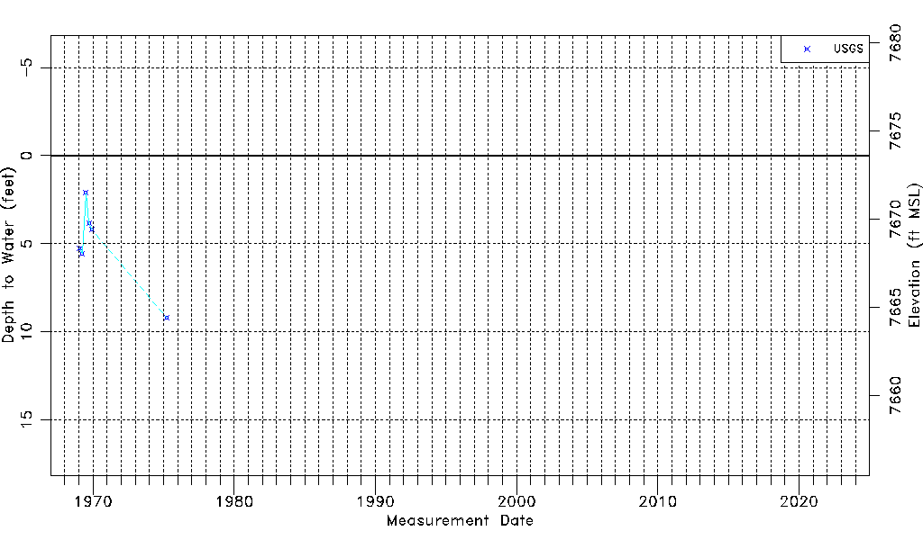
| Water-level Count | 6 |
| Water-level Date Range | 01/27/1969 thru 04/01/1975 |
| Monitored within the last 18 months | No, most recently on 04/01/1975 |
| Depth-to-Water Range (ft) | 2.11 to 9.21 |
| Water Table Elevation Range (ft NAVD88) | 7664.39 to 7671.49 |
| Water-Level-Source:Number-of-Measurements | USGS:6 |