| Well Information Table |
|---|
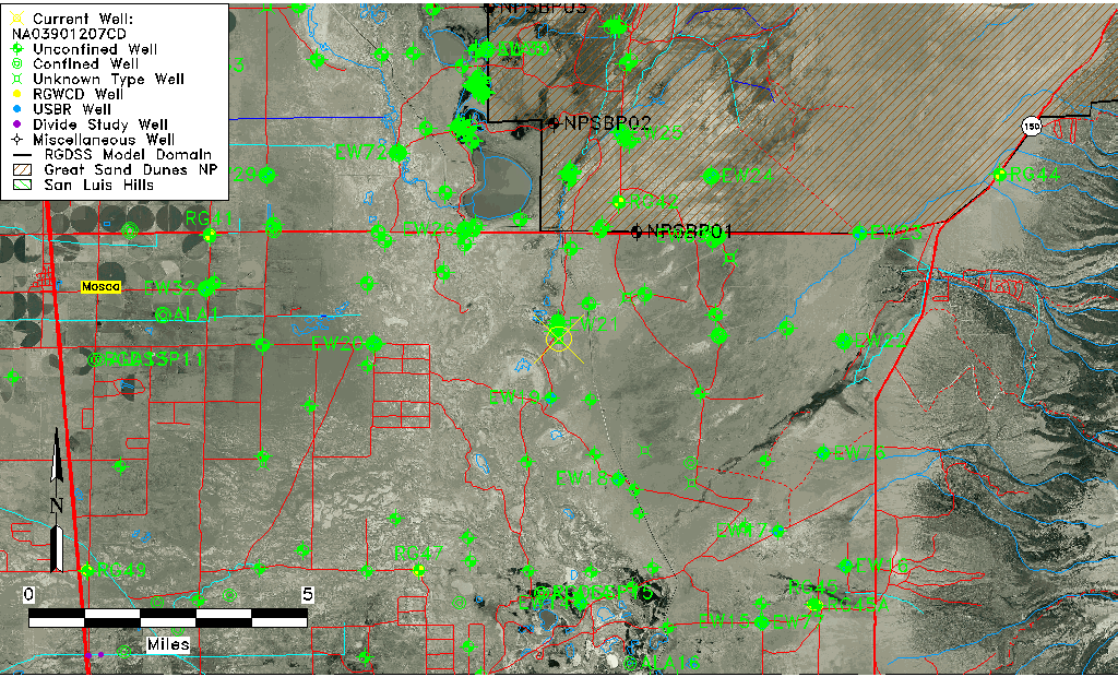
| Common Well ID | NA03901207CD |
| USGS Well ID | 373808105421401 |
| GSDNP Well Name | 373808105421401 |
| USGS Station Name | NA03901207CD |
| USGS Site Type | Well |
| USGS Site Use Information | Test |
| USGS Groundwater Use Information | Unknown |
| Data Source(s) | USGS |
| Location Data |
|---|
| TRS | NA03901207CD |
| USGS TRS 1 | NA03901207CD |
| Longitude/Latitude (NAD83) | -105.70446170 , 37.63555785 |
| Longitude/Latitude Data Source | GWSI decimal LAT/LONG field |
| USGS Longitude/Latitude (NAD83) | -105.7044617 , 37.63555785 |
| Easting, Northing RGDSS-NAD83 (US ft) | 191207.93 , 232856.71 |
| USGS Topography | Valley flat |
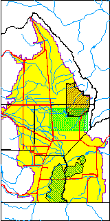
| USGS County | Alamosa County |
| USGS Map Name | MEDANO RANCH |
| USGS Map Scale | 24000 |
| Elevation and Depth Data |
|---|
| Ground Elevation (ft NAVD88) | 7524.94000000000 |
| Elevation Data Source | USGS GWSI database |
| USGS Ground Elevation (ft NGVD29) | 7520.83 |
| 1/3-Arc Second NED Ground Elevation (ft NAVD88) | 7528.44 |
| 1-Arc Second NED Ground Elevation (ft NAVD88) | 7526.22 |
| SRTM Ground Elevation (ft NAVD88) | 7523.20 |
| USGS Hole Depth (ft) | 63.60 |
| Depth of Bottom of Layer 1 | 105 |
| Depth of Bottom of Layer 2 | 444 |
| Depth of Bottom of Layer 3 | 1393 |
| Depth of Bottom of Layer 4 | 3633 |
| Additional Well Information | Production, Logs, Construction |
| Aquifer Information |
|---|
| Aquifer Type | Unknown |
| Aquifer Type Source | None |
| USGS Hydrologic Unit | San Luis |
| USGS Data Available | Discharge (GW.DISC) |
| Water-level Database Information |
|---|
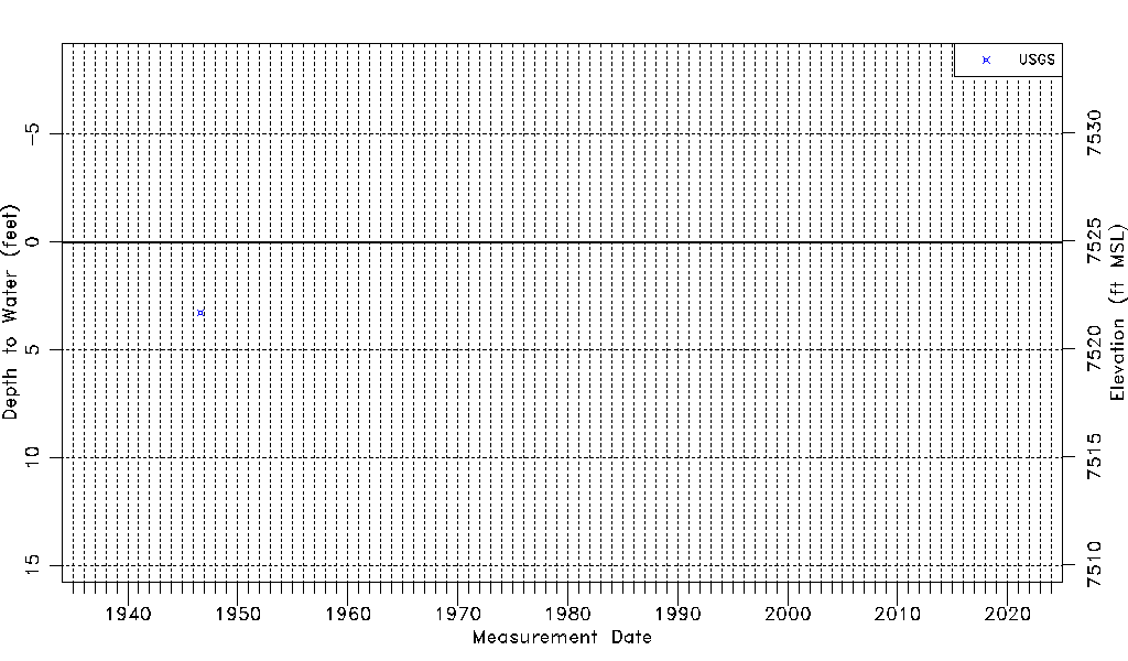
| Water-level Count | 1 |
| Water-level Date Range | 08/12/1946 thru 08/12/1946 |
| Monitored within the last 18 months | No, most recently on 08/12/1946 |
| Depth-to-Water Range (ft) | 3.27 to 3.27 |
| Water Table Elevation Range (ft NAVD88) | 7521.67 to 7521.67 |
| Water-Level-Source:Number-of-Measurements | USGS:1 |