| Well Information Table |
|---|
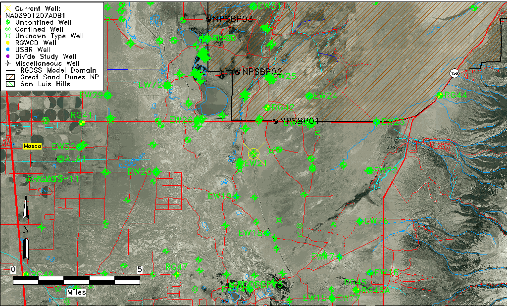
| Common Well ID | NA03901207ADB1 |
| USGS Well ID | 373841105413901 |
| GSDNP Well Name | 373841105413901 |
| USGS Station Name | NA03901207ADB1 |
| USGS Site Type | Well |
| USGS Site Use Information | Observation |
| USGS Groundwater Use Information | Unused |
| Data Source(s) | USGS |
| Location Data |
|---|
| TRS | NA03901207ADB1 |
| USGS TRS 1 | NA03901207ADB1 |
| Longitude/Latitude (NAD83) | -105.69473920 , 37.64472438 |
| Longitude/Latitude Data Source | GWSI decimal LAT/LONG field |
| USGS Longitude/Latitude (NAD83) | -105.6947392 , 37.64472438 |
| Easting, Northing RGDSS-NAD83 (US ft) | 194023.36 , 236192.48 |
| USGS Topography | Valley flat |
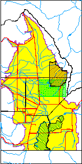
| USGS County | Alamosa County |
| USGS Map Name | MEDANO RANCH |
| USGS Map Scale | 24000 |
| Elevation and Depth Data |
|---|
| Ground Elevation (ft NAVD88) | 7514.12000000000 |
| Elevation Data Source | USGS GWSI database |
| USGS Ground Elevation (ft NGVD29) | 7510.00 |
| 1/3-Arc Second NED Ground Elevation (ft NAVD88) | 7533.41 |
| 1-Arc Second NED Ground Elevation (ft NAVD88) | 7529.93 |
| SRTM Ground Elevation (ft NAVD88) | 7546.36 |
| Total Depth (ft) | 21.00 |
| USGS Well Depth (ft) | 21.00 |
| Model Layer | 1 |
| Model Layer Source | Well Depth |
| Depth of Bottom of Layer 1 | 111 |
| Depth of Bottom of Layer 2 | 459 |
| Depth of Bottom of Layer 3 | 1481 |
| Depth of Bottom of Layer 4 | 3932 |
| Additional Well Information | Construction |
| Aquifer Information |
|---|
| Aquifer Type | Unconfined |
| Aquifer Type Source | TD Elevation/Model Layer |
| USGS Aquifer Type | Unconfined Single Aquifer |
| USGS Hydrologic Unit | San Luis |
| USGS Data Available | Miscellaneous (GW.MISC) |
| Water-level Database Information |
|---|
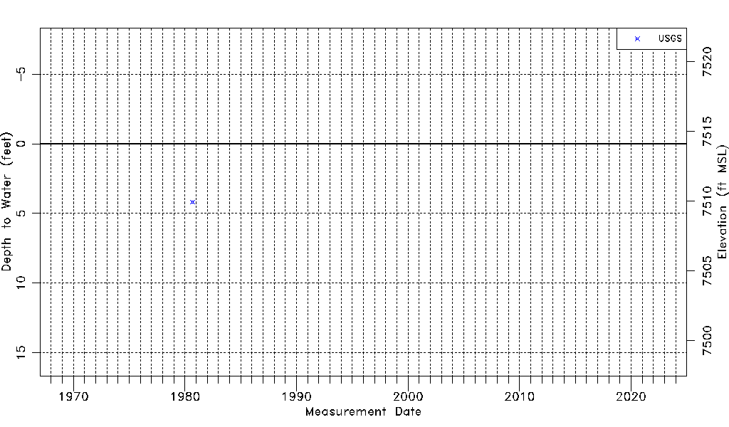
| Water-level Count | 1 |
| Water-level Date Range | 09/11/1980 thru 09/11/1980 |
| Monitored within the last 18 months | No, most recently on 09/11/1980 |
| Depth-to-Water Range (ft) | 4.17 to 4.17 |
| Water Table Elevation Range (ft NAVD88) | 7509.95 to 7509.95 |
| Water-Level-Source:Number-of-Measurements | USGSaguache Creek:1 |