| Well Information Table |
|---|
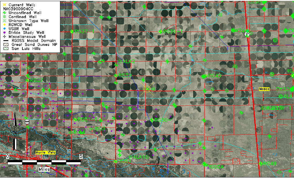
| Common Well ID | NA03900904CC |
| USGS Well ID | 373855105595801 |
| USGS Station Name | NA03900904CC |
| USGS Site Type | Well |
| USGS Site Use Information | Test |
| USGS Groundwater Use Information | Unknown |
| Data Source(s) | USGS |
| Location Data |
|---|
| TRS | NA03900904CC |
| USGS TRS 1 | NA03900904CC |
| Longitude/Latitude (NAD83) | -106.00002400 , 37.64861216 |
| Longitude/Latitude Data Source | GWSI decimal LAT/LONG field |
| USGS Longitude/Latitude (NAD83) | -106.0000240 , 37.64861216 |
| Easting, Northing RGDSS-NAD83 (US ft) | 105663.08 , 237776.62 |
| USGS Topography | Valley flat |
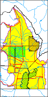
| USGS County | Alamosa County |
| USGS Map Name | HOOPER WEST |
| USGS Map Scale | 24000 |
| Elevation and Depth Data |
|---|
| Ground Elevation (ft NAVD88) | 7602.43000000000 |
| Elevation Data Source | USGS GWSI database |
| USGS Ground Elevation (ft NGVD29) | 7598.30 |
| 1/3-Arc Second NED Ground Elevation (ft NAVD88) | 7599.60 |
| 1-Arc Second NED Ground Elevation (ft NAVD88) | 7599.51 |
| SRTM Ground Elevation (ft NAVD88) | 7605.27 |
| Total Depth (ft) | 50.00 |
| USGS Well Depth (ft) | 50.00 |
| Model Layer | 1 |
| Model Layer Source | Well Depth |
| Depth of Bottom of Layer 1 | 98 |
| Depth of Bottom of Layer 2 | 227 |
| Depth of Bottom of Layer 3 | 761 |
| Depth of Bottom of Layer 4 | 2119 |
| Additional Well Information | Production |
| Aquifer Information |
|---|
| Aquifer Type | Unconfined |
| Aquifer Type Source | TD Elevation/Model Layer |
| USGS Hydrologic Unit | San Luis |
| USGS Data Available | Discharge (GW.DISC) |
| Water-level Database Information |
|---|
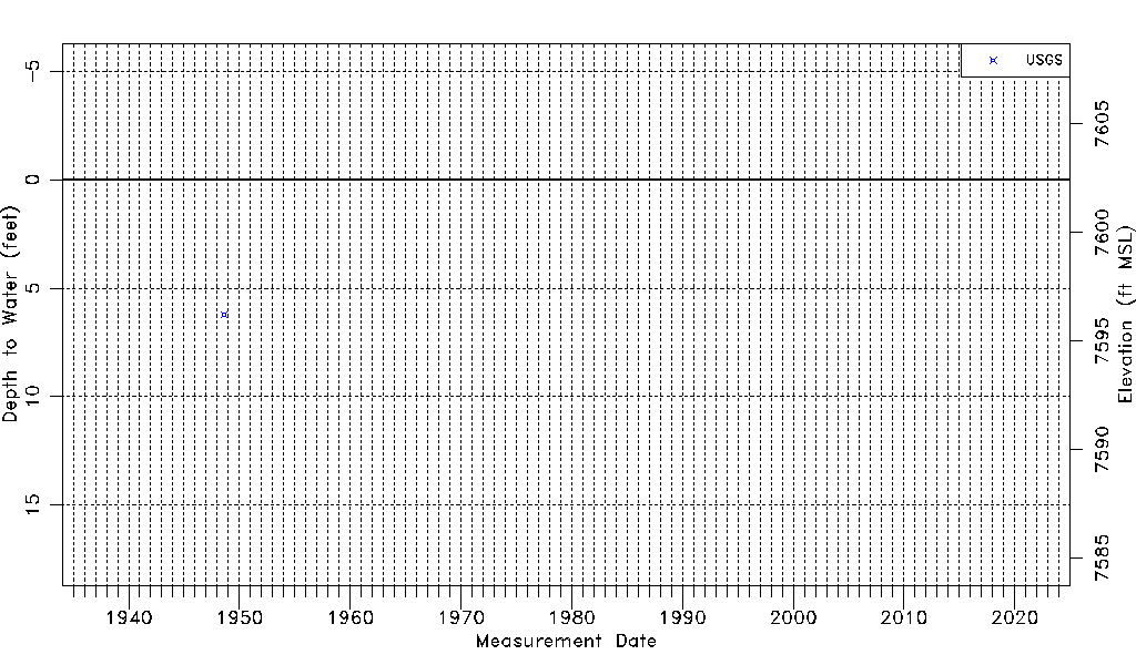
| Water-level Count | 1 |
| Water-level Date Range | 08/08/1948 thru 08/08/1948 |
| Monitored within the last 18 months | No, most recently on 08/08/1948 |
| Depth-to-Water Range (ft) | 6.21 to 6.21 |
| Water Table Elevation Range (ft NAVD88) | 7596.22 to 7596.22 |
| Water-Level-Source:Number-of-Measurements | USGS:1 |