| Well Information Table |
|---|
| Common Well ID | NA03900705ABB |
| USGS Well ID | 373920106134501 |
| USGS Station Name | NA03900705ABB |
| USGS Construction Date | 01/01/1949 |
| USGS Site Type | Well |
| USGS Site Use Information | Withdrawal of Water |
| USGS Groundwater Use Information | Irrigation |
| Data Source(s) | USGS |
| Location Data |
|---|
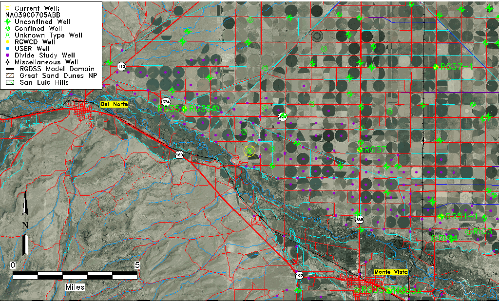
| TRS | NA03900705ABB |
| USGS TRS 1 | NA03900705ABB |
| USGS TRS | NWNWNES005T0039NR0007EN |
| Longitude/Latitude (NAD83) | -106.22975300 , 37.65555830 |
| Longitude/Latitude Data Source | GWSI decimal LAT/LONG field |
| USGS Longitude/Latitude (NAD83) | -106.2297530 , 37.65555830 |
| Easting, Northing RGDSS-NAD83 (US ft) | 39183.48 , 240622.10 |
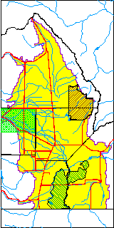
| USGS County | Rio Grande County |
| Elevation and Depth Data |
|---|
| Ground Elevation (ft NAVD88) | 7760.67000000000 |
| Elevation Data Source | USGS GWSI database |
| USGS Ground Elevation (ft NGVD29) | 7756.00 |
| 1/3-Arc Second NED Ground Elevation (ft NAVD88) | 7759.55 |
| 1-Arc Second NED Ground Elevation (ft NAVD88) | 7759.39 |
| SRTM Ground Elevation (ft NAVD88) | 7769.00 |
| Total Depth (ft) | 103.00 |
| USGS Well Depth (ft) | 103.00 |
| Model Layer | 2 |
| Model Layer Source | Well Depth |
| Depth of Bottom of Layer 1 | 53 |
| Depth of Bottom of Layer 2 | 178 |
| Depth of Bottom of Layer 3 | 312 |
| Depth of Bottom of Layer 4 | 714 |
| Additional Well Information | Geohydrology, Construction |
| Aquifer Information |
|---|
| Aquifer Type | Confined |
| Aquifer Type Source | TD Elevation/Model Layer |
| USGS Primary Aquifer | Cenozoic Erathem |
| USGS Hydrologic Unit | Alamosa-Trinchera |
| USGS Data Available | Water-level (GW.LEV) |
| Water-level Database Information |
|---|
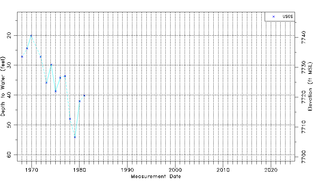
| Water-level Count | 13 |
| Water-level Date Range | 01/15/1968 thru 01/16/1981 |
| Monitored within the last 18 months | No, most recently on 01/16/1981 |
| Depth-to-Water Range (ft) | 20.15 to 54.11 |
| Water Table Elevation Range (ft NAVD88) | 7706.56 to 7740.52 |
| Water-Level-Source:Number-of-Measurements | USGS:13 |