| Well Information Table |
|---|
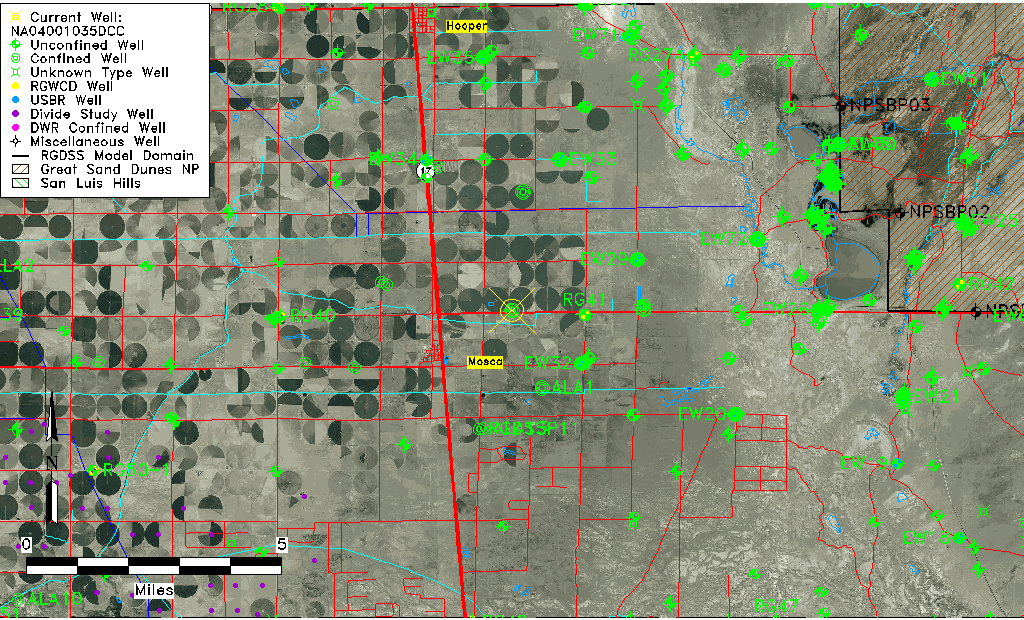
| Common Well ID | NA04001035DCC |
| USGS Well ID | 373925105510001 |
| GSDNP Well Name | 373925105510001 |
| USGS Station Name | NA04001035DCC |
| USGS Construction Date | 01/01/1949 |
| USGS Site Type | Well |
| USGS Site Use Information | Withdrawal of Water |
| USGS Groundwater Use Information | Irrigation |
| Data Source(s) | USGS |
| Location Data |
|---|
| TRS | NA04001035DCC |
| USGS TRS 1 | NA04001035DCC |
| USGS TRS | SWSWSES035T0040NR0010EN |
| Longitude/Latitude (NAD83) | -105.84474280 , 37.66361234 |
| Longitude/Latitude Data Source | GWSI decimal LAT/LONG field |
| USGS Longitude/Latitude (NAD83) | -105.8447428 , 37.66361234 |
| Easting, Northing RGDSS-NAD83 (US ft) | 150617.96 , 243115.08 |
| USGS Topography | Valley flat |
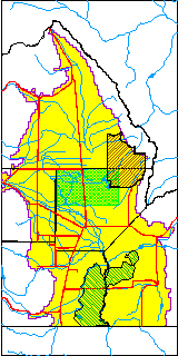
| USGS County | Alamosa County |
| USGS Map Name | HOOPER EAST |
| USGS Map Scale | 24000 |
| Elevation and Depth Data |
|---|
| Ground Elevation (ft NAVD88) | 7552.82000000000 |
| Elevation Data Source | Elevation from BDR22 |
| USGS Ground Elevation (ft NGVD29) | 7549.00 |
| 1/3-Arc Second NED Ground Elevation (ft NAVD88) | 7550.25 |
| 1-Arc Second NED Ground Elevation (ft NAVD88) | 7548.64 |
| SRTM Ground Elevation (ft NAVD88) | 7559.05 |
| Total Depth (ft) | 98.00 |
| USGS Well Depth (ft) | 98.00 |
| Model Layer | 2 |
| Model Layer Source | Well Depth |
| Depth of Bottom of Layer 1 | 71 |
| Depth of Bottom of Layer 2 | 397 |
| Depth of Bottom of Layer 3 | 1165 |
| Depth of Bottom of Layer 4 | 1921 |
| Additional Well Information | Geohydrology, Construction |
| Aquifer Information |
|---|
| Aquifer Type | Confined |
| Aquifer Type Source | TD Elevation/Model Layer |
| USGS Primary Aquifer | Cenozoic Erathem |
| USGS Hydrologic Unit | San Luis |
| USGS Data Available | Water-level (GW.LEV) |
| Water-level Database Information |
|---|
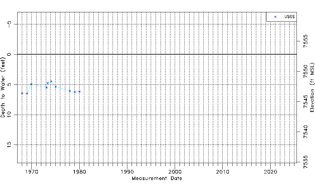
| Water-level Count | 10 |
| Water-level Date Range | 01/15/1968 thru 01/15/1980 |
| Monitored within the last 18 months | No, most recently on 01/15/1980 |
| Depth-to-Water Range (ft) | 4.50 to 6.48 |
| Water Table Elevation Range (ft NAVD88) | 7546.34 to 7548.32 |
| Water-Level-Source:Number-of-Measurements | USGS:10 |