| Well Information Table |
|---|
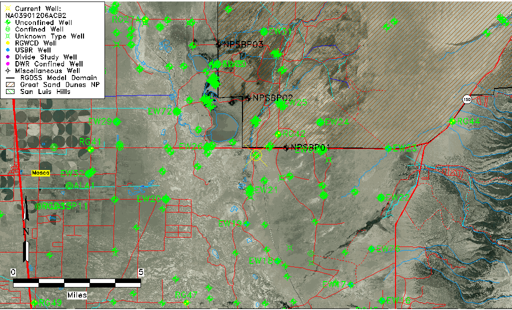
| Common Well ID | NA03901206ACB2 |
| USGS Well ID | 373933105420002 |
| GSDNP Well Name | 373933105420002 |
| USGS Station Name | NA03901206ACB2 |
| USGS Construction Date | 04/10/1979 |
| USGS Site Type | Well |
| USGS Site Use Information | Observation |
| USGS Groundwater Use Information | Unused |
| Data Source(s) | USGS |
| Location Data |
|---|
| TRS | NA03901206ACB2 |
| USGS TRS 1 | NA03901206ACB2 |
| Longitude/Latitude (NAD83) | -105.70057270 , 37.65916850 |
| Longitude/Latitude Data Source | GWSI decimal LAT/LONG field |
| USGS Longitude/Latitude (NAD83) | -105.7005727 , 37.65916850 |
| Easting, Northing RGDSS-NAD83 (US ft) | 192336.70 , 241450.83 |
| USGS Topography | Valley flat |
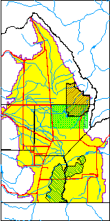
| USGS County | Alamosa County |
| USGS Map Name | MEDANO RANCH |
| USGS Map Scale | 24000 |
| Elevation and Depth Data |
|---|
| Ground Elevation (ft NAVD88) | 7529.92000000000 |
| Elevation Data Source | USGS GWSI database |
| USGS Ground Elevation (ft NGVD29) | 7525.80 |
| 1/3-Arc Second NED Ground Elevation (ft NAVD88) | 7533.73 |
| 1-Arc Second NED Ground Elevation (ft NAVD88) | 7529.56 |
| SRTM Ground Elevation (ft NAVD88) | 7536.11 |
| Total Depth (ft) | 125.00 |
| USGS Hole Depth (ft) | 125.00 |
| USGS Well Depth (ft) | 125.00 |
| Model Layer | 1 |
| Model Layer Source | Well Depth |
| Depth of Bottom of Layer 1 | 146 |
| Depth of Bottom of Layer 2 | 505 |
| Depth of Bottom of Layer 3 | 1630 |
| Depth of Bottom of Layer 4 | 4097 |
| Additional Well Information | Logs, Construction |
| Aquifer Information |
|---|
| Aquifer Type | Unconfined |
| Aquifer Type Source | TD Elevation/Model Layer |
| USGS Hydrologic Unit | San Luis |
| USGS Data Available | Water-level (GW.LEV) |
| Water-level Database Information |
|---|
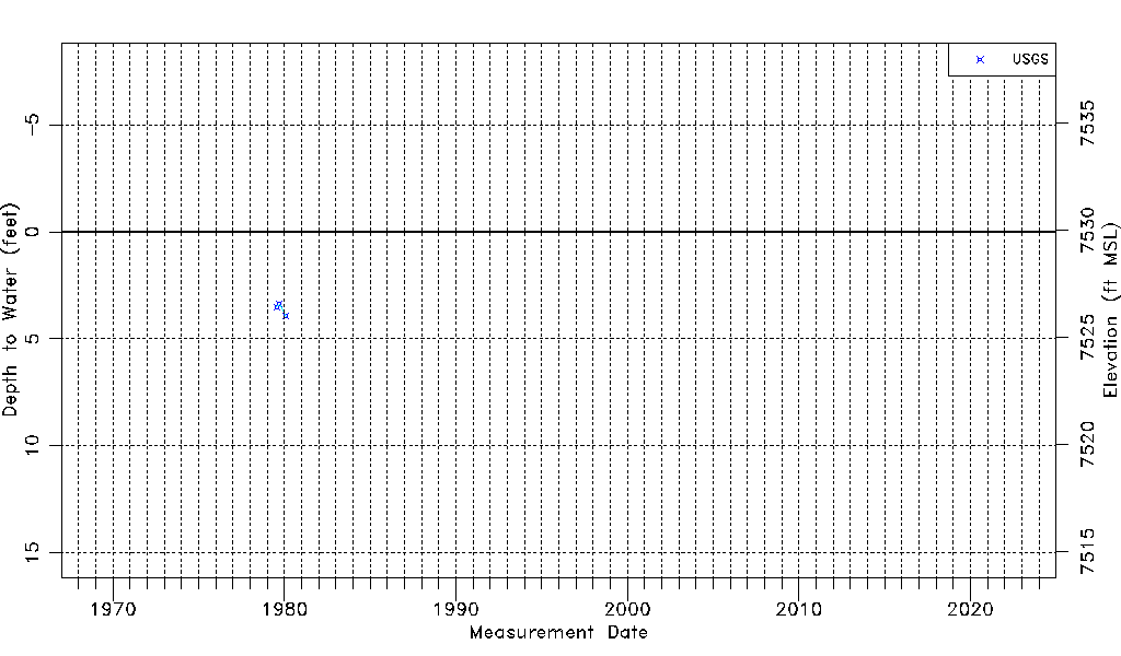
| Water-level Count | 3 |
| Water-level Date Range | 07/27/1979 thru 01/31/1980 |
| Monitored within the last 18 months | No, most recently on 01/31/1980 |
| Depth-to-Water Range (ft) | 3.38 to 3.94 |
| Water Table Elevation Range (ft NAVD88) | 7525.98 to 7526.54 |
| Water-Level-Source:Number-of-Measurements | USGSaguache Creek:3 |