| Well Information Table |
|---|
| Common Well ID | NA03901203BB |
| USGS Well ID | 373940105391301 |
| GSDNP Well Name | 373940105391301 |
| USGS Station Name | NA03901203BB |
| USGS Construction Date | 09/04/1946 |
| USGS Site Type | Well |
| USGS Site Use Information | Test |
| USGS Groundwater Use Information | Unknown |
| Data Source(s) | USGS |
| Location Data |
|---|
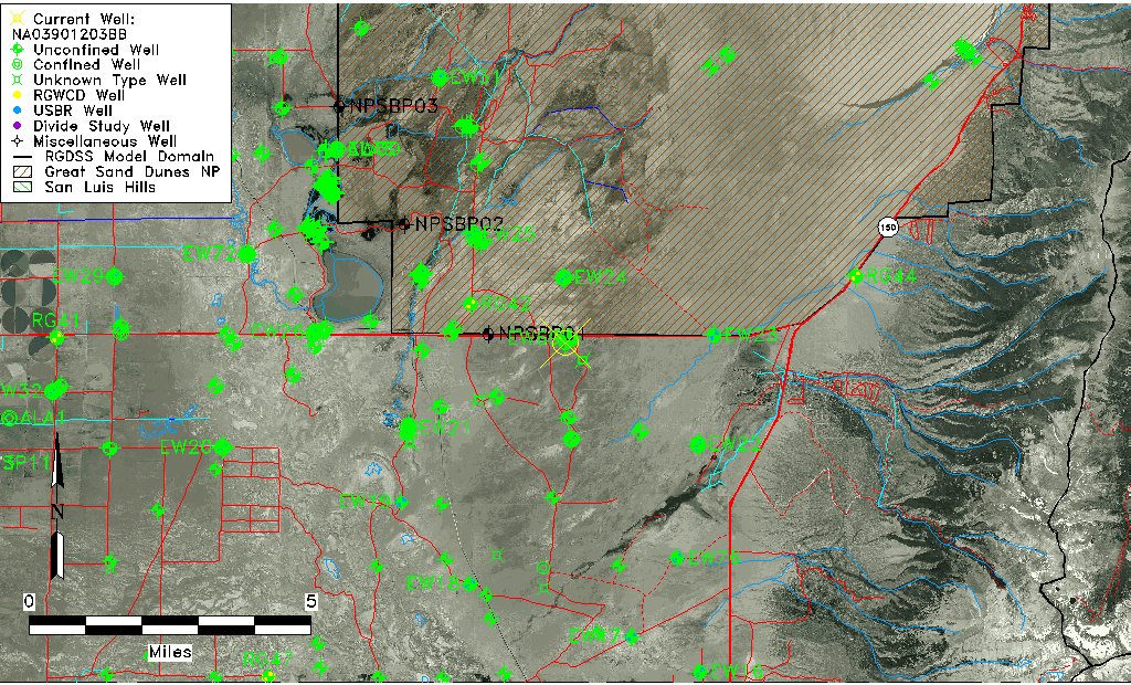
| TRS | NA03901203BB |
| USGS TRS 1 | NA03901203BB |
| Longitude/Latitude (NAD83) | -105.65418250 , 37.66111315 |
| Longitude/Latitude Data Source | GWSI decimal LAT/LONG field |
| USGS Longitude/Latitude (NAD83) | -105.6541825 , 37.66111315 |
| Easting, Northing RGDSS-NAD83 (US ft) | 205761.42 , 242157.34 |
| USGS Topography | Dunes |
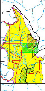
| USGS County | Alamosa County |
| USGS Map Name | MEDANO RANCH |
| USGS Map Scale | 24000 |
| Elevation and Depth Data |
|---|
| Ground Elevation (ft NAVD88) | 7590.14000000000 |
| Elevation Data Source | USGS GWSI database |
| USGS Ground Elevation (ft NGVD29) | 7585.97 |
| 1/3-Arc Second NED Ground Elevation (ft NAVD88) | 7589.17 |
| 1-Arc Second NED Ground Elevation (ft NAVD88) | 7587.03 |
| SRTM Ground Elevation (ft NAVD88) | 7582.04 |
| Total Depth (ft) | 61.80 |
| USGS Hole Depth (ft) | 133.00 |
| USGS Well Depth (ft) | 61.80 |
| Model Layer | 1 |
| Model Layer Source | Well Depth |
| Depth of Bottom of Layer 1 | 174 |
| Depth of Bottom of Layer 2 | 549 |
| Depth of Bottom of Layer 3 | 1455 |
| Depth of Bottom of Layer 4 | 3819 |
| Additional Well Information | Production, Logs, Construction |
| Aquifer Information |
|---|
| Aquifer Type | Unconfined |
| Aquifer Type Source | TD Elevation/Model Layer |
| USGS Hydrologic Unit | San Luis |
| USGS Data Available | Discharge (GW.DISC) |
| Water-level Database Information |
|---|
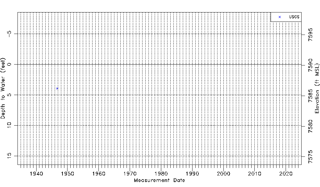
| Water-level Count | 1 |
| Water-level Date Range | 09/07/1946 thru 09/07/1946 |
| Monitored within the last 18 months | No, most recently on 09/07/1946 |
| Depth-to-Water Range (ft) | 3.94 to 3.94 |
| Water Table Elevation Range (ft NAVD88) | 7586.20 to 7586.20 |
| Water-Level-Source:Number-of-Measurements | USGS:1 |