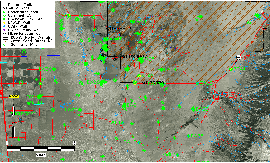
| Well Information Table |
|---|
| Common Well ID | NA04001121CC |
| USGS Well ID | 373953105412301 |
| GSDNP Well Name | 373953105412301 |
| USGS Station Name | NA04001121CC |
| USGS Site Type | Well |
| USGS Site Use Information | Test |
| USGS Groundwater Use Information | Unknown |
| Data Source(s) | USGS |
| Location Data |
|---|
| TRS | NA04001121CC |
| USGS TRS 1 | NA04001121CC |
| Longitude/Latitude (NAD83) | -105.69029460 , 37.66472400 |
| Longitude/Latitude Data Source | GWSI decimal LAT/LONG field |
| USGS Longitude/Latitude (NAD83) | -105.6902946 , 37.66472400 |
| Easting, Northing RGDSS-NAD83 (US ft) | 195311.56 , 243472.22 |
| USGS Topography | Valley flat |
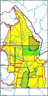
| USGS County | Alamosa County |
| USGS Map Name | MEDANO RANCH |
| USGS Map Scale | 24000 |
| Elevation and Depth Data |
|---|
| Ground Elevation (ft NAVD88) | 7537.04000000000 |
| Elevation Data Source | USGS GWSI database |
| USGS Ground Elevation (ft NGVD29) | 7532.91 |
| 1/3-Arc Second NED Ground Elevation (ft NAVD88) | 7539.12 |
| 1-Arc Second NED Ground Elevation (ft NAVD88) | 7537.41 |
| SRTM Ground Elevation (ft NAVD88) | 7529.51 |
| Total Depth (ft) | 48.00 |
| USGS Hole Depth (ft) | 63.30 |
| USGS Well Depth (ft) | 48.00 |
| Model Layer | 1 |
| Model Layer Source | Well Depth |
| Depth of Bottom of Layer 1 | 161 |
| Depth of Bottom of Layer 2 | 518 |
| Depth of Bottom of Layer 3 | 1673 |
| Depth of Bottom of Layer 4 | 4411 |
| Additional Well Information | Production, Logs, Construction |
| Aquifer Information |
|---|
| Aquifer Type | Unconfined |
| Aquifer Type Source | TD Elevation/Model Layer |
| USGS Hydrologic Unit | San Luis |
| USGS Data Available | Discharge (GW.DISC) |
| Water-level Database Information |
|---|
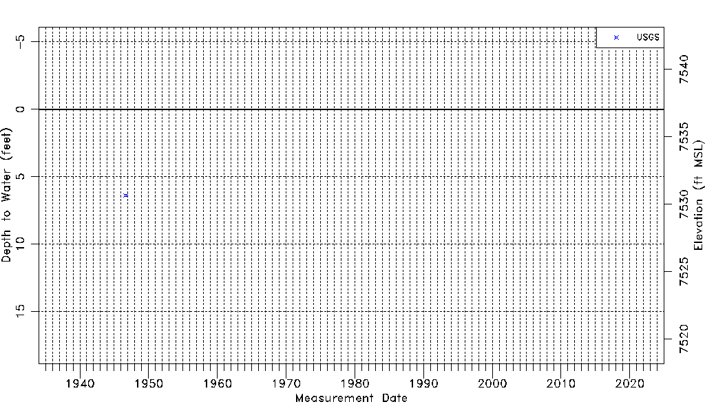
| Water-level Count | 1 |
| Water-level Date Range | 08/30/1946 thru 08/30/1946 |
| Monitored within the last 18 months | No, most recently on 08/30/1946 |
| Depth-to-Water Range (ft) | 6.38 to 6.38 |
| Water Table Elevation Range (ft NAVD88) | 7530.66 to 7530.66 |
| Water-Level-Source:Number-of-Measurements | USGSaguache Creek:1 |