| Well Information Table |
|---|
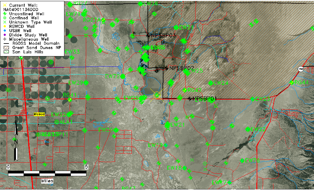
| Common Well ID | NA04001136DDD |
| USGS Well ID | 374000105430001 |
| GSDNP Well Name | 374000105430001 |
| USGS Station Name | NA04001136DDD |
| USGS Construction Date | 01/01/1946 |
| USGS Site Type | Well |
| USGS Site Use Information | Observation |
| USGS Groundwater Use Information | Unused |
| Data Source(s) | USGS |
| Location Data |
|---|
| TRS | NA04001136DDD |
| USGS TRS 1 | NA04001136DDD |
| USGS TRS | SESESES036T0040NR0011EN |
| Longitude/Latitude (NAD83) | -105.71723980 , 37.66666826 |
| Longitude/Latitude Data Source | GWSI decimal LAT/LONG field |
| USGS Longitude/Latitude (NAD83) | -105.7172398 , 37.66666826 |
| Easting, Northing RGDSS-NAD83 (US ft) | 187514.84 , 244182.94 |
| USGS Topography | Flat Surface |
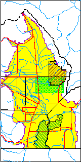
| USGS County | Alamosa County |
| Elevation and Depth Data |
|---|
| Ground Elevation (ft NAVD88) | 7528.09000000000 |
| Elevation Data Source | USGS GWSI database |
| USGS Ground Elevation (ft NGVD29) | 7524.00 |
| 1/3-Arc Second NED Ground Elevation (ft NAVD88) | 7528.94 |
| 1-Arc Second NED Ground Elevation (ft NAVD88) | 7526.19 |
| SRTM Ground Elevation (ft NAVD88) | 7539.22 |
| Total Depth (ft) | 48.00 |
| USGS Well Depth (ft) | 48.00 |
| Model Layer | 1 |
| Model Layer Source | Well Depth |
| Depth of Bottom of Layer 1 | 145 |
| Depth of Bottom of Layer 2 | 494 |
| Depth of Bottom of Layer 3 | 1664 |
| Depth of Bottom of Layer 4 | 3792 |
| Additional Well Information | Geohydrology, Construction |
| Aquifer Information |
|---|
| Aquifer Type | Unconfined |
| Aquifer Type Source | TD Elevation/Model Layer |
| USGS Primary Aquifer | Cenozoic Erathem |
| USGS Hydrologic Unit | San Luis |
| USGS Data Available | Water-level (GW.LEV) |
| Water-level Database Information |
|---|
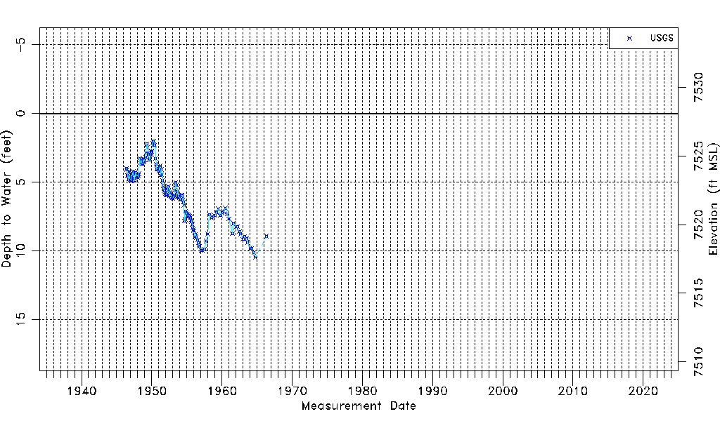
| Water-level Count | 155 |
| Water-level Date Range | 06/01/1946 thru 05/11/1966 |
| Monitored within the last 18 months | No, most recently on 05/11/1966 |
| Depth-to-Water Range (ft) | 2.00 to 10.47 |
| Water Table Elevation Range (ft NAVD88) | 7517.62 to 7526.09 |
| Water-Level-Source:Number-of-Measurements | USGS:155 |