| Well Information Table |
|---|
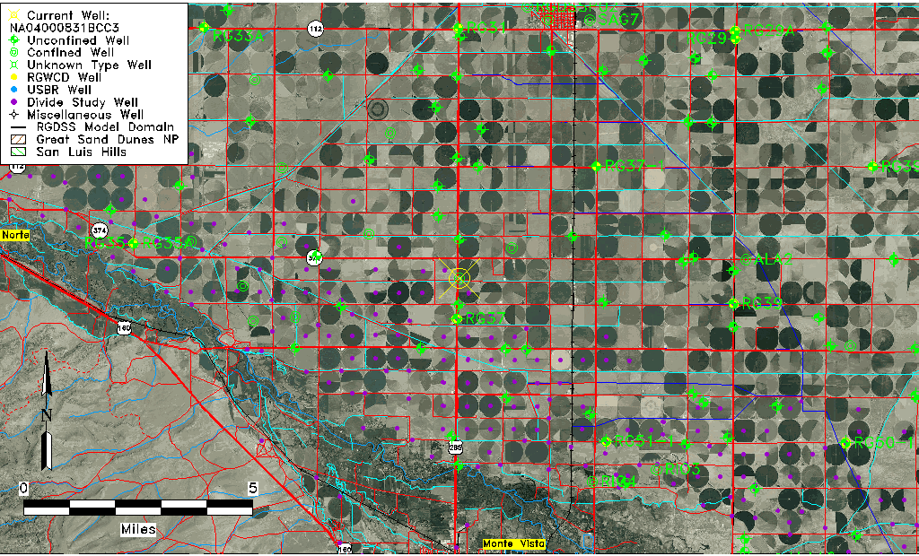
| Common Well ID | NA04000831BCC3 |
| USGS Well ID | 374010106085003 |
| USGS Station Name | NA04000831BCC3 |
| USGS Construction Date | 01/01/1968 |
| USGS Site Type | Well |
| USGS Site Use Information | Withdrawal of Water |
| USGS Groundwater Use Information | Irrigation |
| Data Source(s) | USGS |
| Location Data |
|---|
| TRS | NA04000831BCC3 |
| USGS TRS 1 | NA04000831BCC3 |
| USGS TRS | SWSWNWS031T0040NR0008EN |
| Longitude/Latitude (NAD83) | -106.14780610 , 37.66944640 |
| Longitude/Latitude Data Source | GWSI decimal LAT/LONG field |
| USGS Longitude/Latitude (NAD83) | -106.1478061 , 37.66944640 |
| Easting, Northing RGDSS-NAD83 (US ft) | 62926.86 , 245546.13 |
| USGS Topography | Valley flat |
| USGS County | Rio Grande County |
| Elevation and Depth Data |
|---|
| Ground Elevation (ft NAVD88) | 7685.60000000000 |
| Elevation Data Source | USGS GWSI database |
| USGS Ground Elevation (ft NGVD29) | 7681.00 |
| 1/3-Arc Second NED Ground Elevation (ft NAVD88) | 7683.86 |
| 1-Arc Second NED Ground Elevation (ft NAVD88) | 7683.88 |
| SRTM Ground Elevation (ft NAVD88) | 7690.29 |
| Total Depth (ft) | 260.00 |
| USGS Well Depth (ft) | 260.00 |
| Model Layer | 3 |
| Model Layer Source | Well Depth |
| Depth of Bottom of Layer 1 | 88 |
| Depth of Bottom of Layer 2 | 236 |
| Depth of Bottom of Layer 3 | 300 |
| Depth of Bottom of Layer 4 | 2135 |
| Additional Well Information | Geohydrology, Construction |
| Aquifer Information |
|---|
| Aquifer Type | Confined |
| Aquifer Type Source | TD Elevation/Model Layer |
| USGS Primary Aquifer | Cenozoic Erathem |
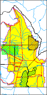
| USGS Hydrologic Unit | San Luis |
| USGS Data Available | Water-level (GW.LEV) |
| Water-level Database Information |
|---|
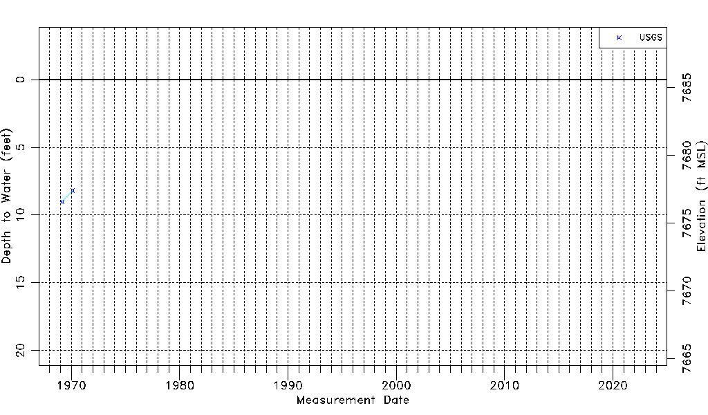
| Water-level Count | 2 |
| Water-level Date Range | 02/24/1969 thru 02/17/1970 |
| Monitored within the last 18 months | No, most recently on 02/17/1970 |
| Depth-to-Water Range (ft) | 8.20 to 9.02 |
| Water Table Elevation Range (ft NAVD88) | 7676.58 to 7677.40 |
| Water-Level-Source:Number-of-Measurements | USGS:2 |