| Well Information Table |
|---|
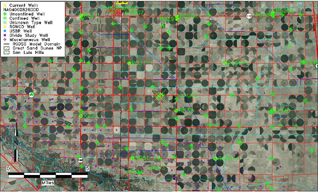
| Common Well ID | NA04000826DDD |
| USGS Well ID | 374030106033001 |
| USGS Station Name | NA04000826DDD |
| USGS Construction Date | 01/01/1948 |
| USGS Site Type | Well |
| USGS Site Use Information | Observation |
| USGS Groundwater Use Information | Unused |
| Data Source(s) | USGS |
| Location Data |
|---|
| TRS | NA04000826DDD |
| USGS TRS 1 | NA04000826DDD |
| USGS TRS | SESESES026T0040NR0008EN |
| Longitude/Latitude (NAD83) | -106.05891460 , 37.67500115 |
| Longitude/Latitude Data Source | GWSI decimal LAT/LONG field |
| USGS Longitude/Latitude (NAD83) | -106.0589146 , 37.67500115 |
| Easting, Northing RGDSS-NAD83 (US ft) | 88657.58 , 247448.69 |
| USGS Topography | Flat Surface |
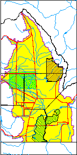
| USGS County | Rio Grande County |
| Elevation and Depth Data |
|---|
| Ground Elevation (ft NAVD88) | 7624.36000000000 |
| Elevation Data Source | USGS GWSI database |
| USGS Ground Elevation (ft NGVD29) | 7620.00 |
| 1/3-Arc Second NED Ground Elevation (ft NAVD88) | 7625.36 |
| 1-Arc Second NED Ground Elevation (ft NAVD88) | 7625.15 |
| SRTM Ground Elevation (ft NAVD88) | 7631.55 |
| Total Depth (ft) | 13.00 |
| USGS Well Depth (ft) | 13.00 |
| Model Layer | 1 |
| Model Layer Source | Well Depth |
| Depth of Bottom of Layer 1 | 100 |
| Depth of Bottom of Layer 2 | 226 |
| Depth of Bottom of Layer 3 | 654 |
| Depth of Bottom of Layer 4 | 2347 |
| Additional Well Information | Geohydrology, Construction |
| Aquifer Information |
|---|
| Aquifer Type | Unconfined |
| Aquifer Type Source | TD Elevation/Model Layer |
| USGS Primary Aquifer | Cenozoic Erathem |
| USGS Hydrologic Unit | San Luis |
| USGS Data Available | Water-level (GW.LEV) |
| Water-level Database Information |
|---|
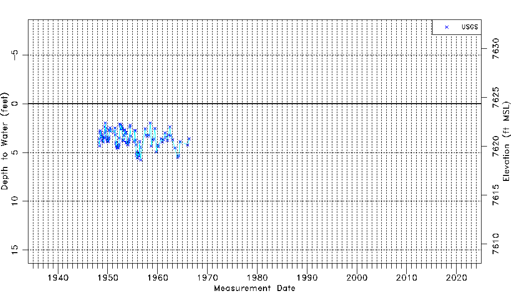
| Water-level Count | 115 |
| Water-level Date Range | 04/01/1948 thru 05/10/1966 |
| Monitored within the last 18 months | No, most recently on 05/10/1966 |
| Depth-to-Water Range (ft) | 1.97 to 5.75 |
| Water Table Elevation Range (ft NAVD88) | 7618.61 to 7622.39 |
| Water-Level-Source:Number-of-Measurements | USGS:115 |