| Well Information Table |
|---|
| Common Well ID | NA04000934BAA |
| USGS Well ID | 374033105582801 |
| USGS Station Name | NA04000934BAA |
| USGS Construction Date | 08/09/1993 |
| USGS Site Type | Well |
| USGS Site Use Information | Observation |
| USGS Groundwater Use Information | Unused |
| Data Source(s) | USGS |
| Location Data |
|---|
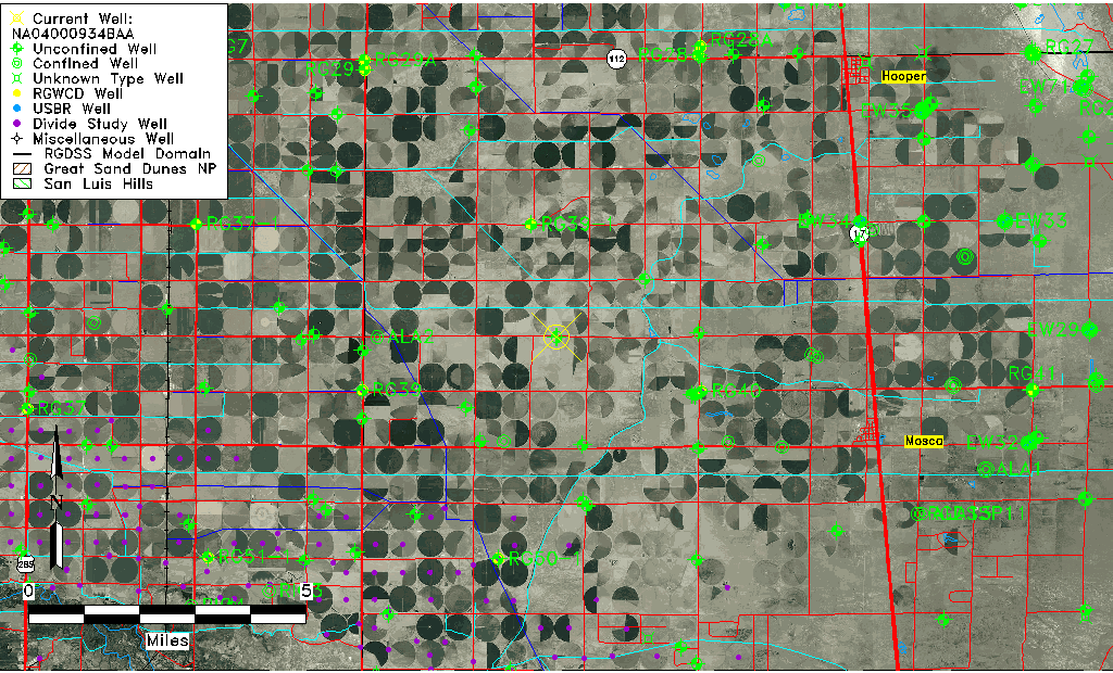
| TRS | NA04000934BAA |
| USGS TRS 1 | NA04000934BAA |
| USGS TRS | NENENWS 34T 40NR 9E |
| Longitude/Latitude (NAD83) | -105.97508610 , 37.67596389 |
| Longitude/Latitude Data Source | GWSI decimal LAT/LONG field |
| USGS Longitude/Latitude (NAD83) | -105.9750861 , 37.67596389 |
| Easting, Northing RGDSS-NAD83 (US ft) | 112913.80 , 247708.76 |
| USGS Topography | Valley flat |
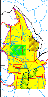
| USGS County | Alamosa County |
| USGS Map Name | HOOPER WEST |
| USGS Map Scale | 2400 |
| Elevation and Depth Data |
|---|
| Ground Elevation (ft NAVD88) | 7595.00000000000 |
| Elevation Data Source | USGS GWSI database |
| USGS Ground Elevation (ft NAVD88) | 7595.00 |
| 1/3-Arc Second NED Ground Elevation (ft NAVD88) | 7590.66 |
| 1-Arc Second NED Ground Elevation (ft NAVD88) | 7591.24 |
| SRTM Ground Elevation (ft NAVD88) | 7606.79 |
| Total Depth (ft) | 31.00 |
| USGS Hole Depth (ft) | 31.00 |
| USGS Well Depth (ft) | 31.00 |
| Model Layer | 1 |
| Model Layer Source | Well Depth |
| Depth of Bottom of Layer 1 | 105 |
| Depth of Bottom of Layer 2 | 214 |
| Depth of Bottom of Layer 3 | 852 |
| Depth of Bottom of Layer 4 | 2206 |
| Additional Well Information | Logs, Geohydrology, Construction, Aquifer |
| Aquifer Information |
|---|
| Aquifer Type | Unconfined |
| Aquifer Type Source | TD Elevation/Model Layer |
| USGS Primary Aquifer | 112ALMS |
| USGS Aquifer Type | Unconfined Single Aquifer |
| USGS Hydrologic Unit | San Luis |
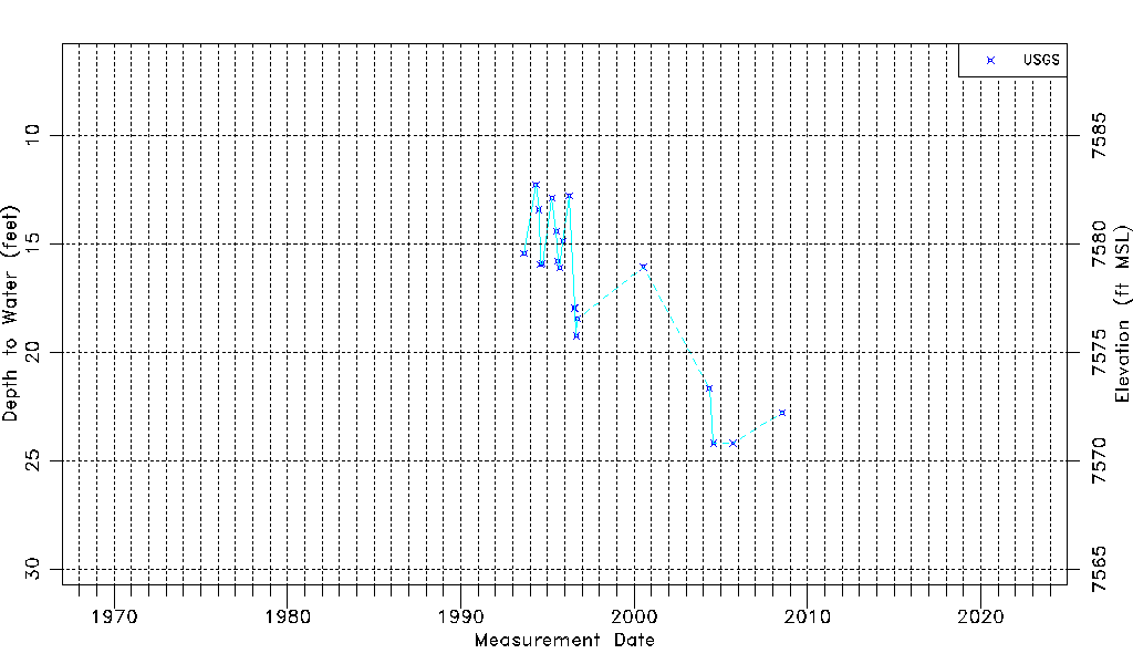
| USGS Data Available | Water-level (GW.LEV) |
| Water-level Database Information |
|---|
| Water-level Count | 20 |
| Water-level Date Range | 08/29/1993 thru 07/23/2008 |
| Monitored within the last 18 months | No, most recently on 07/23/2008 |
| Depth-to-Water Range (ft) | 12.27 to 24.20 |
| Water Table Elevation Range (ft NAVD88) | 7570.80 to 7582.73 |
| Water-Level-Source:Number-of-Measurements | USGSaguache Creek:20 |