| Well Information Table |
|---|
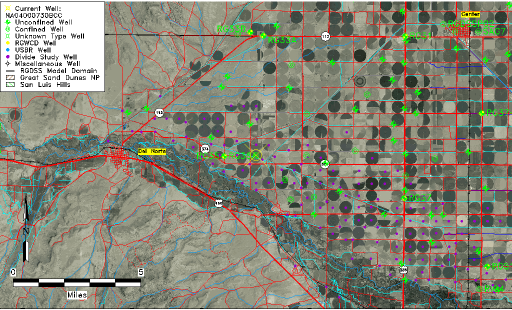
| Common Well ID | NA04000730BCC |
| USGS Well ID | 374050106151501 |
| USGS Station Name | NA04000730BCC |
| USGS Construction Date | 01/01/1940 |
| USGS Site Type | Well |
| USGS Site Use Information | Withdrawal of Water |
| USGS Groundwater Use Information | Irrigation |
| Data Source(s) | USGS |
| Location Data |
|---|
| TRS | NA04000730BCC |
| USGS TRS 1 | NA04000730BCC |
| USGS TRS | SWSWNWS030T0040NR0007EN |
| Longitude/Latitude (NAD83) | -106.25475380 , 37.68055829 |
| Longitude/Latitude Data Source | GWSI decimal LAT/LONG field |
| USGS Longitude/Latitude (NAD83) | -106.2547538 , 37.68055829 |
| Easting, Northing RGDSS-NAD83 (US ft) | 32004.54 , 249767.48 |
| USGS Topography | Valley flat |
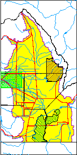
| USGS County | Rio Grande County |
| Elevation and Depth Data |
|---|
| Ground Elevation (ft NAVD88) | 7787.68000000000 |
| Elevation Data Source | USGS GWSI database |
| USGS Ground Elevation (ft NGVD29) | 7783.00 |
| 1/3-Arc Second NED Ground Elevation (ft NAVD88) | 7785.08 |
| 1-Arc Second NED Ground Elevation (ft NAVD88) | 7784.63 |
| SRTM Ground Elevation (ft NAVD88) | 7788.37 |
| Total Depth (ft) | 103.00 |
| USGS Well Depth (ft) | 103.00 |
| Model Layer | 2 |
| Model Layer Source | Well Depth |
| Depth of Bottom of Layer 1 | 72 |
| Depth of Bottom of Layer 2 | 201 |
| Depth of Bottom of Layer 3 | 262 |
| Depth of Bottom of Layer 4 | 504 |
| Additional Well Information | Geohydrology, Construction |
| Aquifer Information |
|---|
| Aquifer Type | Confined |
| Aquifer Type Source | TD Elevation/Model Layer |
| USGS Primary Aquifer | Cenozoic Erathem |
| USGS Hydrologic Unit | San Luis |
| USGS Data Available | Water-level (GW.LEV) |
| Water-level Database Information |
|---|
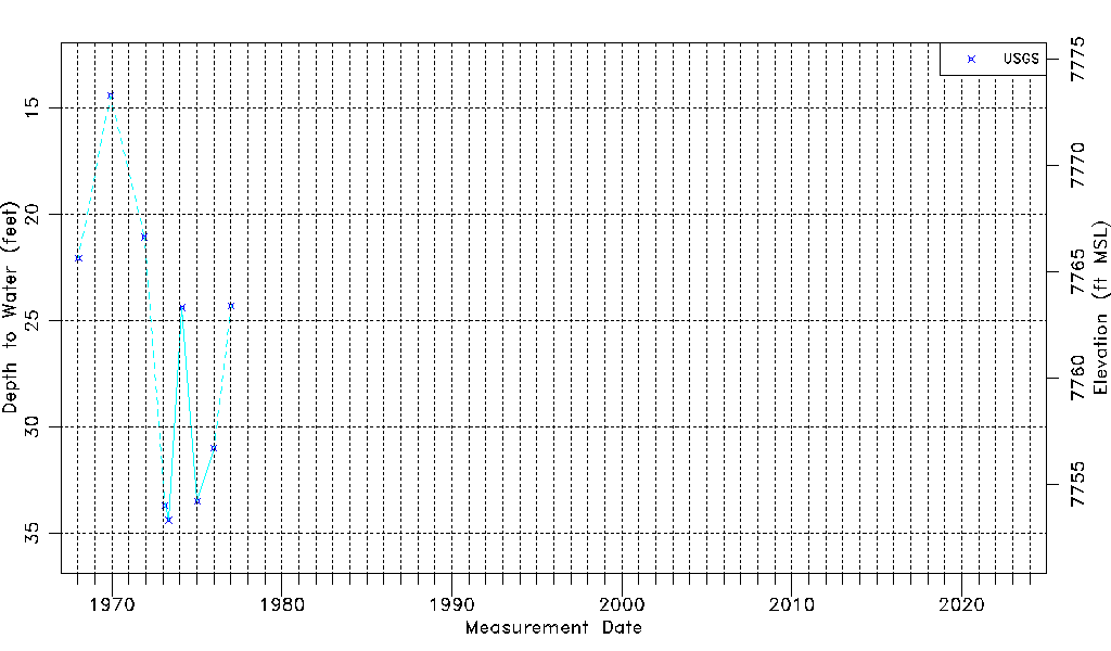
| Water-level Count | 9 |
| Water-level Date Range | 01/15/1968 thru 01/11/1977 |
| Monitored within the last 18 months | No, most recently on 01/11/1977 |
| Depth-to-Water Range (ft) | 14.40 to 34.38 |
| Water Table Elevation Range (ft NAVD88) | 7753.30 to 7773.28 |
| Water-Level-Source:Number-of-Measurements | USGS:9 |