| Well Information Table |
|---|
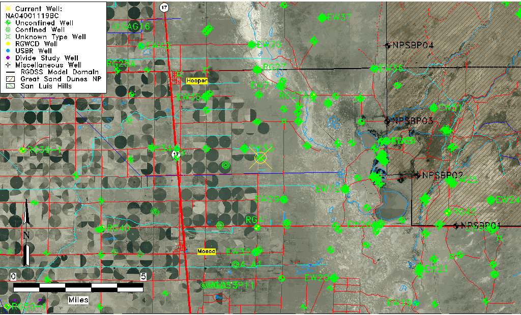
| Common Well ID | NA04001119BC |
| USGS Well ID | 374205105485701 |
| GSDNP Well Name | 374205105485701 |
| USGS Station Name | NA04001119BC |
| USGS Construction Date | 09/27/1946 |
| USGS Site Type | Well |
| USGS Site Use Information | Test |
| USGS Groundwater Use Information | Unknown |
| Data Source(s) | USGS |
| Location Data |
|---|
| TRS | NA04001119BC |
| USGS TRS 1 | NA04001119BC |
| Longitude/Latitude (NAD83) | -105.81640870 , 37.70138949 |
| Longitude/Latitude Data Source | GWSI decimal LAT/LONG field |
| USGS Longitude/Latitude (NAD83) | -105.8164087 , 37.70138949 |
| Easting, Northing RGDSS-NAD83 (US ft) | 158839.07 , 256852.42 |
| USGS Topography | Valley flat |
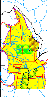
| USGS County | Alamosa County |
| USGS Map Name | HOOPER EAST |
| USGS Map Scale | 24000 |
| Elevation and Depth Data |
|---|
| Ground Elevation (ft NAVD88) | 7541.74000000000 |
| Elevation Data Source | USGS GWSI database |
| USGS Ground Elevation (ft NGVD29) | 7537.83 |
| 1/3-Arc Second NED Ground Elevation (ft NAVD88) | 7542.50 |
| 1-Arc Second NED Ground Elevation (ft NAVD88) | 7541.74 |
| SRTM Ground Elevation (ft NAVD88) | 7532.83 |
| Total Depth (ft) | 46.80 |
| USGS Hole Depth (ft) | 85.90 |
| USGS Well Depth (ft) | 46.80 |
| Model Layer | 1 |
| Model Layer Source | Well Depth |
| Depth of Bottom of Layer 1 | 106 |
| Depth of Bottom of Layer 2 | 303 |
| Depth of Bottom of Layer 3 | 1407 |
| Depth of Bottom of Layer 4 | 2108 |
| Additional Well Information | Production, Logs |
| Aquifer Information |
|---|
| Aquifer Type | Unconfined |
| Aquifer Type Source | TD Elevation/Model Layer |
| USGS Hydrologic Unit | San Luis |
| USGS Data Available | Discharge (GW.DISC) |
| Water-level Database Information |
|---|
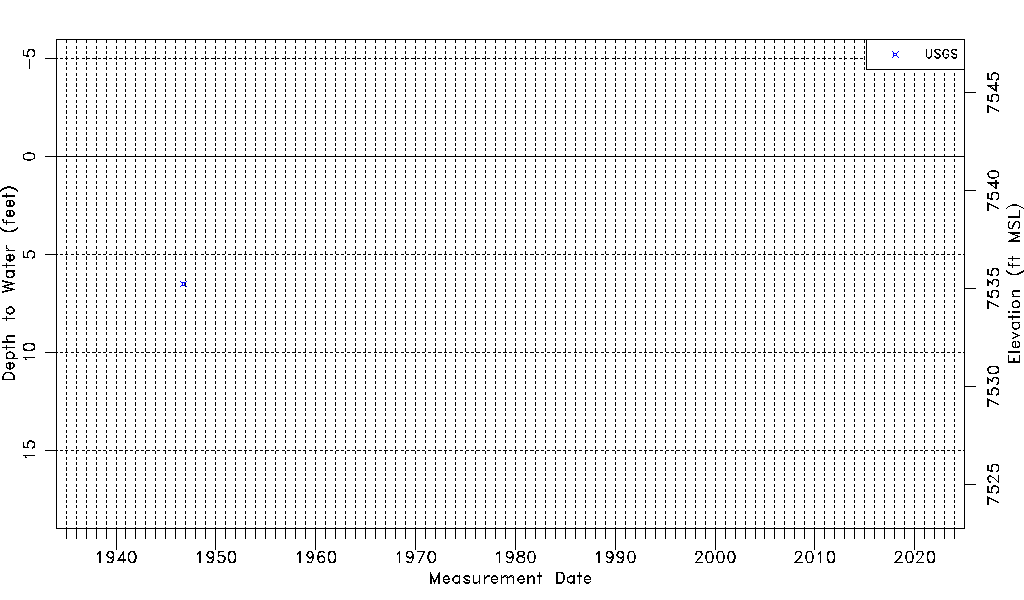
| Water-level Count | 1 |
| Water-level Date Range | 10/04/1946 thru 10/04/1946 |
| Monitored within the last 18 months | No, most recently on 10/04/1946 |
| Depth-to-Water Range (ft) | 6.50 to 6.50 |
| Water Table Elevation Range (ft NAVD88) | 7535.24 to 7535.24 |
| Water-Level-Source:Number-of-Measurements | USGS:1 |