| Well Information Table |
|---|
| Common Well ID | NA04000818CDD5 |
| USGS Well ID | 374217106082505 |
| USGS Station Name | NA04000818CDD5 |
| USGS Construction Date | 11/09/2006 |
| USGS Site Type | Well |
| USGS Site Use Information | Unknown |
| USGS Groundwater Use Information | Unknown |
| Data Source(s) | USGS |
| Location Data |
|---|
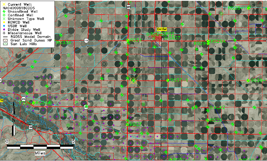
| TRS | NA04000818CDD5 |
| USGS TRS 1 | NA04000818CDD5 |
| USGS TRS | SESESWS018T40N R08E N |
| Longitude/Latitude (NAD83) | -106.14068610 , 37.70479720 |
| Longitude/Latitude Data Source | GWSI decimal LAT/LONG field |
| USGS Longitude/Latitude (NAD83) | -106.1406861 , 37.70479720 |
| Easting, Northing RGDSS-NAD83 (US ft) | 65052.15 , 258404.64 |
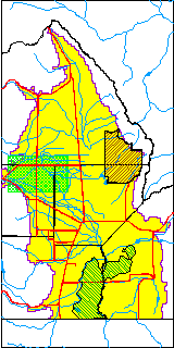
| USGS County | Rio Grande County |
| USGS Map Name | SEVENMILE PLAZA |
| USGS Map Scale | 24000 |
| Elevation and Depth Data |
|---|
| Ground Elevation (ft NAVD88) | 7676.00000000000 |
| Elevation Data Source | USGS GWSI database |
| USGS Ground Elevation (ft NAVD88) | 7676.00 |
| 1/3-Arc Second NED Ground Elevation (ft NAVD88) | 7675.49 |
| 1-Arc Second NED Ground Elevation (ft NAVD88) | 7675.46 |
| SRTM Ground Elevation (ft NAVD88) | 7680.45 |
| Total Depth (ft) | 45.08 |
| USGS Hole Depth (ft) | 50.00 |
| USGS Well Depth (ft) | 45.08 |
| Model Layer | 1 |
| Model Layer Source | Well Depth |
| Depth of Bottom of Layer 1 | 97 |
| Depth of Bottom of Layer 2 | 201 |
| Depth of Bottom of Layer 3 | 348 |
| Depth of Bottom of Layer 4 | 2358 |
| Additional Well Information | NONE |
| Aquifer Information |
|---|
| Aquifer Type | Unconfined |
| Aquifer Type Source | TD Elevation/Model Layer |
| USGS Primary Aquifer | 112ALMS |
| USGS Hydrologic Unit | San Luis |
| USGS Data Available | Geohydrologic |
| Water-level Database Information |
|---|
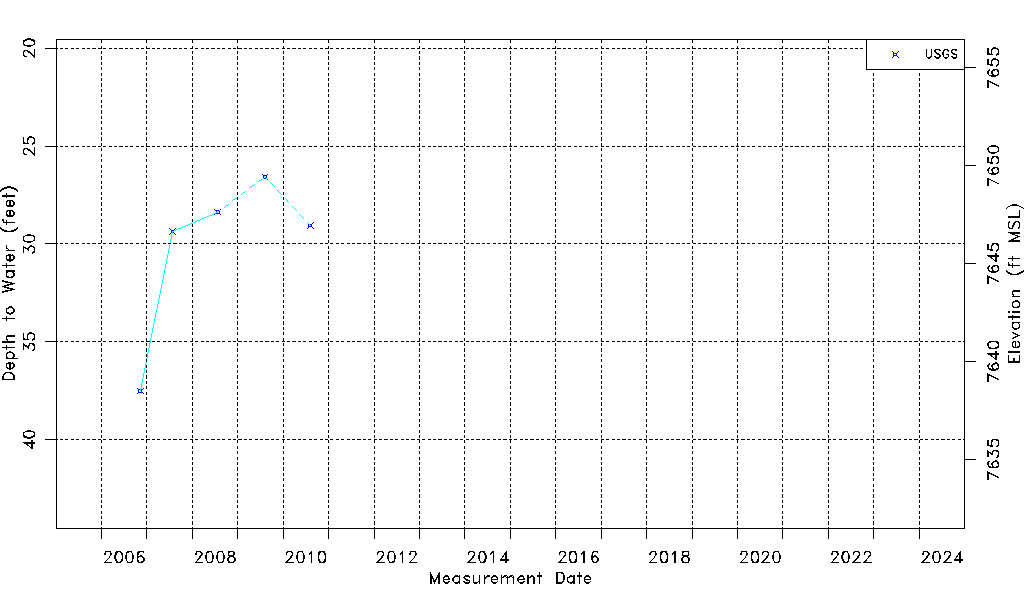
| Water-level Count | 5 |
| Water-level Date Range | 11/09/2006 thru 08/07/2010 |
| Monitored within the last 18 months | No, most recently on 08/07/2010 |
| Depth-to-Water Range (ft) | 26.57 to 37.50 |
| Water Table Elevation Range (ft NAVD88) | 7638.50 to 7649.43 |
| Water-Level-Source:Number-of-Measurements | USGSaguache Creek:5 |