| Well Information Table |
|---|
| Common Well ID | NA04000519BAC |
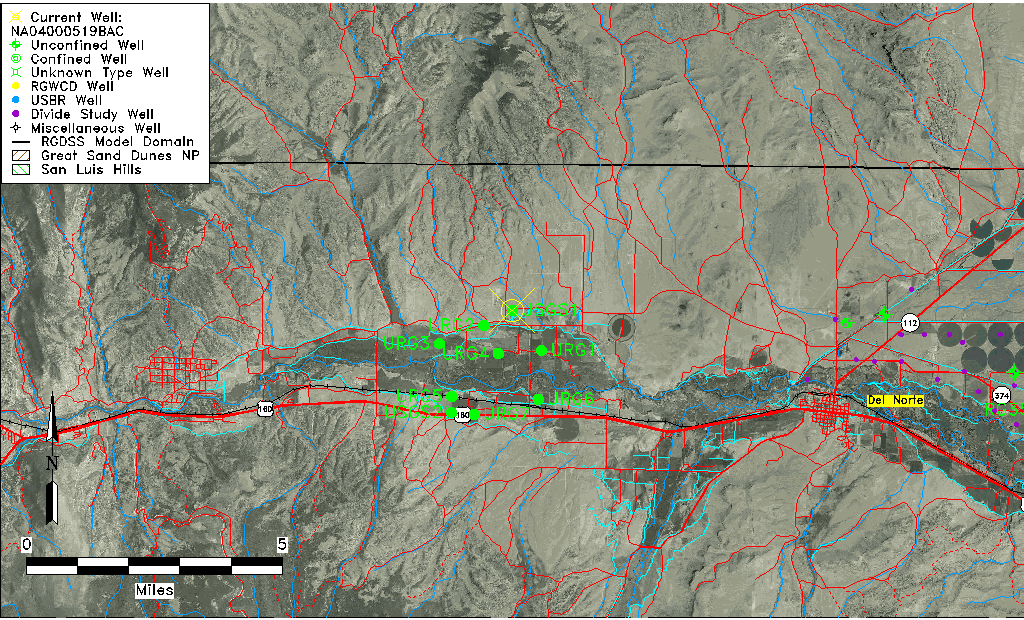
| USGS Well ID | 374225106275601 |
| USGS Station Name | NA04000519BAC |
| USGS Site Type | Well |
| USGS Site Use Information | Unknown |
| USGS Groundwater Use Information | Unknown |
| Data Source(s) | USGS |
| Location Data |
|---|
| TRS | NA04000519BAC |
| USGS TRS 1 | NA04000519BAC |
| USGS TRS | SWSES18 T40N R05E N |
| Longitude/Latitude (NAD83) | -106.46615020 , 37.70694730 |
| Longitude/Latitude Data Source | GWSI decimal LAT/LONG field |
| USGS Longitude/Latitude (NAD83) | -106.4661502 , 37.70694730 |
| Easting, Northing RGDSS-NAD83 (US ft) | -29078.31 , 259826.84 |
| USGS Topography | Undulating |
| USGS County | Rio Grande County |
| USGS Map Name | INDIAN HEAD, CO |
| USGS Map Scale | 24000 |
| Elevation and Depth Data |
|---|
| Ground Elevation (ft NAVD88) | 8055.00000000000 |
| Elevation Data Source | USGS GWSI database |
| USGS Ground Elevation (ft NAVD88) | 8055.00 |
| 1/3-Arc Second NED Ground Elevation (ft NAVD88) | 8055.29 |
| 1-Arc Second NED Ground Elevation (ft NAVD88) | 8055.29 |
| SRTM Ground Elevation (ft NAVD88) | 8071.85 |
| Total Depth (ft) | 26.00 |
| USGS Well Depth (ft) | 26.00 |
| Additional Well Information | NONE |
| Aquifer Information |
|---|
| Aquifer Type | Unknown |
| Aquifer Type Source | None |
| USGS Hydrologic Unit | Rio Grande Headwaters |
| USGS Data Available | Miscellaneous (GW.MISC) |
| Water-level Database Information |
|---|
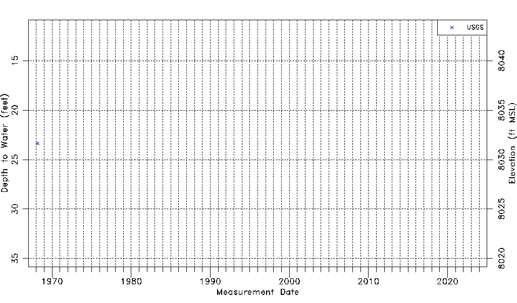
| Water-level Count | 1 |
| Water-level Date Range | 03/06/1968 thru 03/06/1968 |
| Monitored within the last 18 months | No, most recently on 03/06/1968 |
| Depth-to-Water Range (ft) | 23.35 to 23.35 |
| Water Table Elevation Range (ft NAVD88) | 8031.65 to 8031.65 |
| Water-Level-Source:Number-of-Measurements | USGSaguache Creek:1 |