| Well Information Table |
|---|
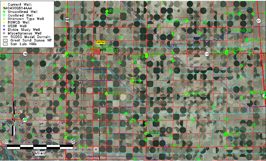
| Common Well ID | NA04000814AAA |
| USGS Well ID | 374310106032401 |
| USGS Station Name | NA04000814AAA |
| USGS Construction Date | 08/11/1993 |
| USGS Site Type | Well |
| USGS Site Use Information | Observation |
| USGS Groundwater Use Information | Unused |
| Data Source(s) | USGS |
| Location Data |
|---|
| TRS | NA04000814AAA |
| USGS TRS 1 | NA04000814AAA |
| USGS TRS | NENENES14 T40N R8E |
| Longitude/Latitude (NAD83) | -106.05701390 , 37.71926944 |
| Longitude/Latitude Data Source | GWSI decimal LAT/LONG field |
| USGS Longitude/Latitude (NAD83) | -106.0570139 , 37.71926944 |
| Easting, Northing RGDSS-NAD83 (US ft) | 89274.57 , 263561.49 |
| USGS Topography | Valley flat |
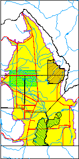
| USGS County | Rio Grande County |
| USGS Map Name | CENTER SOUTH |
| USGS Map Scale | 24000 |
| Elevation and Depth Data |
|---|
| Ground Elevation (ft NAVD88) | 7622.00000000000 |
| Elevation Data Source | USGS GWSI database |
| USGS Ground Elevation (ft NAVD88) | 7622.00 |
| 1/3-Arc Second NED Ground Elevation (ft NAVD88) | 7621.86 |
| 1-Arc Second NED Ground Elevation (ft NAVD88) | 7622.19 |
| SRTM Ground Elevation (ft NAVD88) | 7625.19 |
| Total Depth (ft) | 14.90 |
| USGS Hole Depth (ft) | 15.00 |
| USGS Well Depth (ft) | 14.90 |
| Model Layer | 1 |
| Model Layer Source | Well Depth |
| Depth of Bottom of Layer 1 | 112 |
| Depth of Bottom of Layer 2 | 192 |
| Depth of Bottom of Layer 3 | 746 |
| Depth of Bottom of Layer 4 | 2382 |
| Additional Well Information | Logs, Geohydrology, Construction, Aquifer |
| Aquifer Information |
|---|
| Aquifer Type | Unconfined |
| Aquifer Type Source | TD Elevation/Model Layer |
| USGS Primary Aquifer | 112ALMS |
| USGS Aquifer Type | Unconfined Single Aquifer |
| USGS Hydrologic Unit | San Luis |
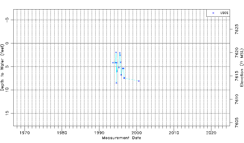
| USGS Data Available | Water-level (GW.LEV) |
| Water-level Database Information |
|---|
| Water-level Count | 18 |
| Water-level Date Range | 08/30/1993 thru 08/08/2000 |
| Monitored within the last 18 months | No, most recently on 08/08/2000 |
| Depth-to-Water Range (ft) | 1.95 to 8.48 |
| Water Table Elevation Range (ft NAVD88) | 7613.52 to 7620.05 |
| Water-Level-Source:Number-of-Measurements | USGSaguache Creek:18 |