| Well Information Table |
|---|
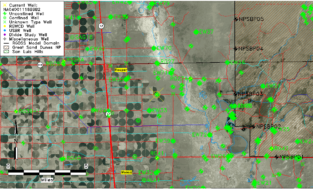
| Common Well ID | NA04001118BBB2 |
| USGS Well ID | 374317105490502 |
| USGS Station Name | NA04001118BBB2 |
| USGS Construction Date | 11/18/2002 |
| USGS Site Type | Well |
| USGS Site Use Information | Observation |
| USGS Groundwater Use Information | Unused |
| Data Source(s) | USGS |
| Location Data |
|---|
| TRS | NA04001118BBB2 |
| USGS TRS 1 | NA04001118BBB2 |
| Longitude/Latitude (NAD83) | -105.81949200 , 37.72130578 |
| Longitude/Latitude Data Source | GWSI decimal LAT/LONG field |
| USGS Longitude/Latitude (NAD83) | -105.8194920 , 37.72130578 |
| Easting, Northing RGDSS-NAD83 (US ft) | 157959.08 , 264103.79 |
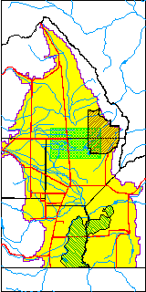
| USGS County | Alamosa County |
| USGS Map Name | HOOPER EAST |
| USGS Map Scale | 24000 |
| Elevation and Depth Data |
|---|
| Ground Elevation (ft NAVD88) | 7544.31000000000 |
| Elevation Data Source | USGS GWSI database |
| USGS Ground Elevation (ft NGVD29) | 7540.40 |
| 1/3-Arc Second NED Ground Elevation (ft NAVD88) | 7543.20 |
| 1-Arc Second NED Ground Elevation (ft NAVD88) | 7543.05 |
| SRTM Ground Elevation (ft NAVD88) | 7544.64 |
| Total Depth (ft) | 23.00 |
| USGS Hole Depth (ft) | 23.00 |
| USGS Well Depth (ft) | 23.00 |
| Model Layer | 1 |
| Model Layer Source | Well Depth |
| Depth of Bottom of Layer 1 | 108 |
| Depth of Bottom of Layer 2 | 298 |
| Depth of Bottom of Layer 3 | 1434 |
| Depth of Bottom of Layer 4 | 2265 |
| Additional Well Information | NONE |
| Aquifer Information |
|---|
| Aquifer Type | Unconfined |
| Aquifer Type Source | TD Elevation/Model Layer |
| USGS Hydrologic Unit | San Luis |
| USGS Data Available | Discharge (GW.DISC) |
| Water-level Database Information |
|---|
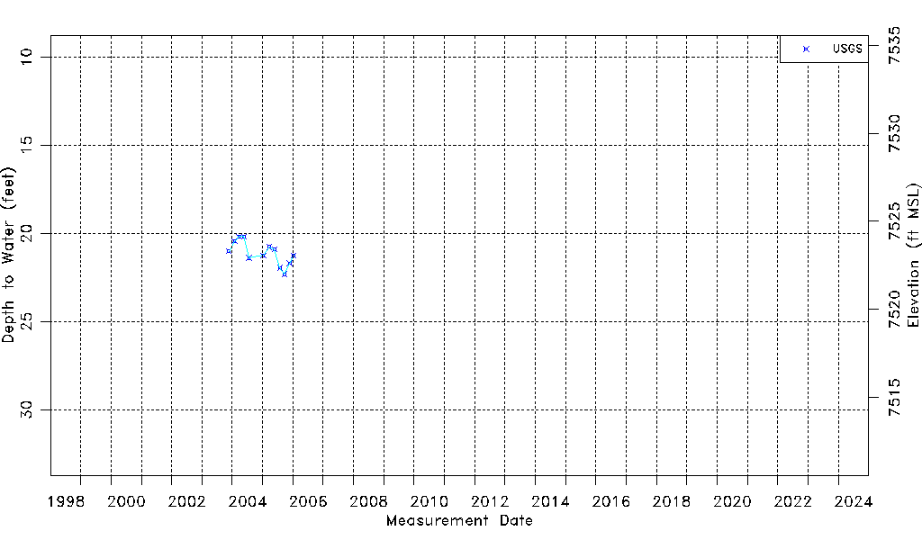
| Water-level Count | 12 |
| Water-level Date Range | 11/20/2003 thru 01/12/2006 |
| Monitored within the last 18 months | No, most recently on 01/12/2006 |
| Depth-to-Water Range (ft) | 20.17 to 22.31 |
| Water Table Elevation Range (ft NAVD88) | 7522.00 to 7524.14 |
| Water-Level-Source:Number-of-Measurements | USGS:12 |