| Well Information Table |
|---|
| Common Well ID | NA04001108DCC |
| USGS Well ID | 374319105472101 |
| GSDNP Well Name | 374319105472101 |
| USGS Station Name | NA04001108DCC |
| USGS Construction Date | 01/01/1977 |
| USGS Site Type | Well |
| USGS Site Use Information | Observation |
| USGS Groundwater Use Information | Unused |
| Data Source(s) | USGS |
| Location Data |
|---|
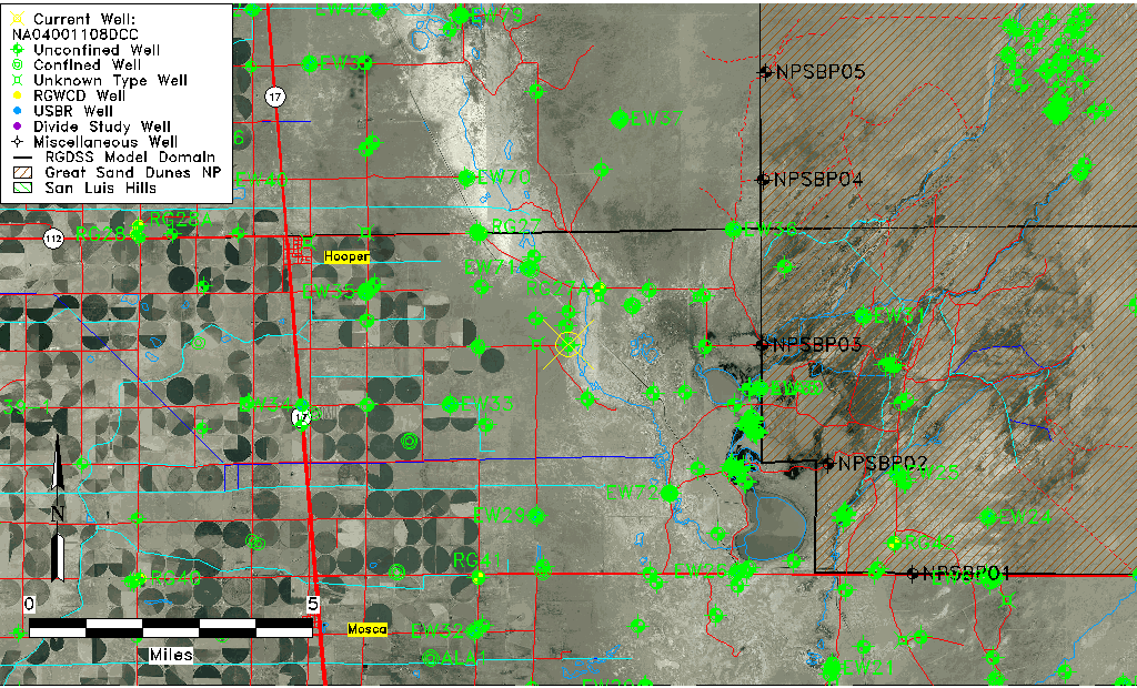
| TRS | NA04001108DCC |
| USGS TRS 1 | NA04001108DCC |
| USGS TRS | SESWSWS008T0040NR0011EN |
| Longitude/Latitude (NAD83) | -105.78974150 , 37.72194469 |
| Longitude/Latitude Data Source | GWSI decimal LAT/LONG field |
| USGS Longitude/Latitude (NAD83) | -105.7897415 , 37.72194469 |
| Easting, Northing RGDSS-NAD83 (US ft) | 166561.82 , 264323.72 |
| USGS Topography | Valley flat |
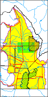
| USGS County | Saguache County |
| USGS Map Name | HOOPER EAST |
| USGS Map Scale | 24000 |
| Elevation and Depth Data |
|---|
| Ground Elevation (ft NAVD88) | 7534.96000000000 |
| Elevation Data Source | USGS GWSI database |
| USGS Ground Elevation (ft NGVD29) | 7531.00 |
| 1/3-Arc Second NED Ground Elevation (ft NAVD88) | 7536.13 |
| 1-Arc Second NED Ground Elevation (ft NAVD88) | 7535.19 |
| SRTM Ground Elevation (ft NAVD88) | 7542.65 |
| Total Depth (ft) | 7.10 |
| USGS Well Depth (ft) | 7.10 |
| Model Layer | 1 |
| Model Layer Source | Well Depth |
| Depth of Bottom of Layer 1 | 110 |
| Depth of Bottom of Layer 2 | 333 |
| Depth of Bottom of Layer 3 | 1524 |
| Depth of Bottom of Layer 4 | 2499 |
| Additional Well Information | Construction |
| Aquifer Information |
|---|
| Aquifer Type | Unconfined |
| Aquifer Type Source | TD Elevation/Model Layer |
| USGS Primary Aquifer | Tertiary System |
| USGS Aquifer Type | Unconfined Single Aquifer |
| USGS Hydrologic Unit | San Luis |
| USGS Data Available | Water-level (GW.LEV) |
| Water-level Database Information |
|---|
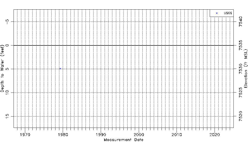
| Water-level Count | 1 |
| Water-level Date Range | 05/03/1979 thru 05/03/1979 |
| Monitored within the last 18 months | No, most recently on 05/03/1979 |
| Depth-to-Water Range (ft) | 4.90 to 4.90 |
| Water Table Elevation Range (ft NAVD88) | 7530.06 to 7530.06 |
| Water-Level-Source:Number-of-Measurements | USGSaguache Creek:1 |