| Well Information Table |
|---|
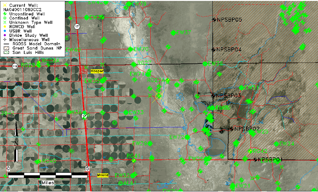
| Common Well ID | NA04001108DCC2 |
| USGS Well ID | 374319105472102 |
| USGS Station Name | NA04001108DCC2 |
| USGS Construction Date | 10/16/2002 |
| USGS Site Type | Well |
| USGS Site Use Information | Observation |
| USGS Groundwater Use Information | Unused |
| Data Source(s) | USGS |
| Location Data |
|---|
| TRS | NA04001108DCC2 |
| USGS TRS 1 | NA04001108DCC2 |
| Longitude/Latitude (NAD83) | -105.78974150 , 37.72155580 |
| Longitude/Latitude Data Source | GWSI decimal LAT/LONG field |
| USGS Longitude/Latitude (NAD83) | -105.7897415 , 37.72155580 |
| Easting, Northing RGDSS-NAD83 (US ft) | 166561.63 , 264182.16 |
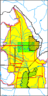
| USGS County | Alamosa County |
| USGS Map Name | HOOPER EAST |
| USGS Map Scale | 24000 |
| Elevation and Depth Data |
|---|
| Ground Elevation (ft NAVD88) | 7533.96000000000 |
| Elevation Data Source | USGS GWSI database |
| USGS Ground Elevation (ft NGVD29) | 7530.00 |
| 1/3-Arc Second NED Ground Elevation (ft NAVD88) | 7536.06 |
| 1-Arc Second NED Ground Elevation (ft NAVD88) | 7535.11 |
| SRTM Ground Elevation (ft NAVD88) | 7541.57 |
| Total Depth (ft) | 15.80 |
| USGS Hole Depth (ft) | 15.80 |
| USGS Well Depth (ft) | 15.80 |
| Model Layer | 1 |
| Model Layer Source | Well Depth |
| Depth of Bottom of Layer 1 | 109 |
| Depth of Bottom of Layer 2 | 333 |
| Depth of Bottom of Layer 3 | 1522 |
| Depth of Bottom of Layer 4 | 2494 |
| Additional Well Information | NONE |
| Aquifer Information |
|---|
| Aquifer Type | Unconfined |
| Aquifer Type Source | TD Elevation/Model Layer |
| USGS Hydrologic Unit | San Luis |
| USGS Data Available | Discharge (GW.DISC) |
| Water-level Database Information |
|---|
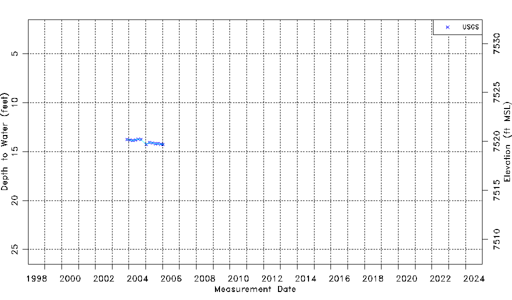
| Water-level Count | 13 |
| Water-level Date Range | 11/20/2003 thru 01/12/2006 |
| Monitored within the last 18 months | No, most recently on 01/12/2006 |
| Depth-to-Water Range (ft) | 13.74 to 14.27 |
| Water Table Elevation Range (ft NAVD88) | 7519.69 to 7520.22 |
| Water-Level-Source:Number-of-Measurements | USGSaguache Creek:13 |