| Well Information Table |
|---|
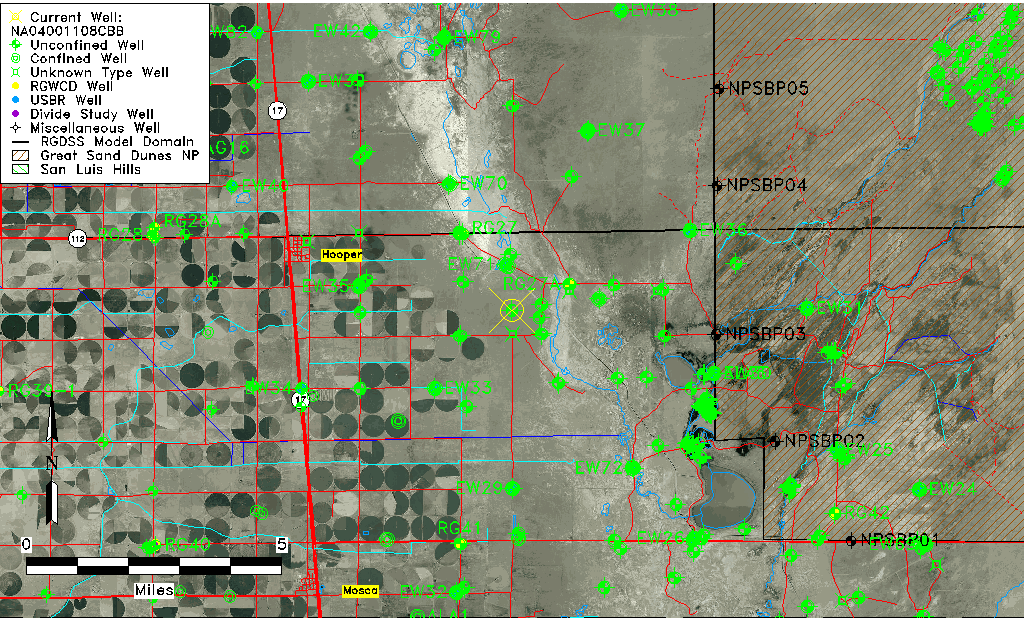
| Common Well ID | NA04001108CBB |
| USGS Well ID | 374343105475901 |
| GSDNP Well Name | 374343105475901 |
| USGS Station Name | NA04001108CBB |
| USGS Construction Date | 07/14/1981 |
| USGS Site Type | Well |
| USGS Site Use Information | Test |
| USGS Groundwater Use Information | Unknown |
| Data Source(s) | USGS |
| Location Data |
|---|
| TRS | NA04001108CBB |
| USGS TRS 1 | NA04001108CBB |
| Longitude/Latitude (NAD83) | -105.80029720 , 37.72861120 |
| Longitude/Latitude Data Source | GWSI decimal LAT/LONG field |
| USGS Longitude/Latitude (NAD83) | -105.8002972 , 37.72861120 |
| Easting, Northing RGDSS-NAD83 (US ft) | 163513.10 , 266754.64 |
| USGS Topography | Valley flat |
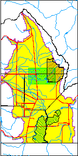
| USGS County | Alamosa County |
| USGS Map Name | HOOPER EAST |
| USGS Map Scale | 24000 |
| Elevation and Depth Data |
|---|
| Ground Elevation (ft NAVD88) | 7536.14000000000 |
| Elevation Data Source | USGS GWSI database |
| USGS Ground Elevation (ft NGVD29) | 7532.20 |
| 1/3-Arc Second NED Ground Elevation (ft NAVD88) | 7539.83 |
| 1-Arc Second NED Ground Elevation (ft NAVD88) | 7538.78 |
| SRTM Ground Elevation (ft NAVD88) | 7542.42 |
| Total Depth (ft) | 67.00 |
| USGS Hole Depth (ft) | 68.00 |
| USGS Well Depth (ft) | 67.00 |
| Model Layer | 1 |
| Model Layer Source | Well Depth |
| Depth of Bottom of Layer 1 | 107 |
| Depth of Bottom of Layer 2 | 317 |
| Depth of Bottom of Layer 3 | 1501 |
| Depth of Bottom of Layer 4 | 2465 |
| Additional Well Information | Production, Logs, Construction |
| Aquifer Information |
|---|
| Aquifer Type | Unconfined |
| Aquifer Type Source | TD Elevation/Model Layer |
| USGS Hydrologic Unit | San Luis |
| USGS Data Available | Water-level (GW.LEV) |
| Water-level Database Information |
|---|
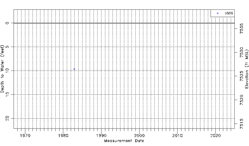
| Water-level Count | 1 |
| Water-level Date Range | 12/02/1982 thru 12/02/1982 |
| Monitored within the last 18 months | No, most recently on 12/02/1982 |
| Depth-to-Water Range (ft) | 9.65 to 9.65 |
| Water Table Elevation Range (ft NAVD88) | 7526.49 to 7526.49 |
| Water-Level-Source:Number-of-Measurements | USGSaguache Creek:1 |