| Well Information Table |
|---|
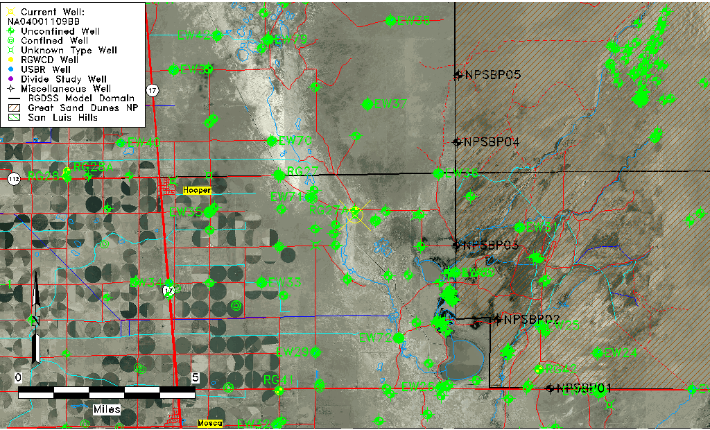
| Common Well ID | NA04001109BB |
| USGS Well ID | 374403105464501 |
| GSDNP Well Name | 374403105464501 |
| USGS Station Name | NA04001109BB |
| USGS Construction Date | 05/08/1946 |
| USGS Site Type | Well |
| USGS Site Use Information | Test |
| USGS Groundwater Use Information | Unknown |
| Data Source(s) | USGS |
| Location Data |
|---|
| TRS | NA04001109BB |
| USGS TRS 1 | NA04001109BB |
| Longitude/Latitude (NAD83) | -105.77974120 , 37.73416668 |
| Longitude/Latitude Data Source | GWSI decimal LAT/LONG field |
| USGS Longitude/Latitude (NAD83) | -105.7797412 , 37.73416668 |
| Easting, Northing RGDSS-NAD83 (US ft) | 169458.76 , 268769.13 |
| USGS Topography | Valley flat |
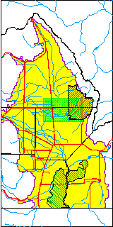
| USGS County | Alamosa County |
| USGS Map Name | HOOPER EAST |
| USGS Map Scale | 24000 |
| Elevation and Depth Data |
|---|
| Ground Elevation (ft NAVD88) | 7537.72000000000 |
| Elevation Data Source | USGS GWSI database |
| USGS Ground Elevation (ft NGVD29) | 7533.74 |
| 1/3-Arc Second NED Ground Elevation (ft NAVD88) | 7534.04 |
| 1-Arc Second NED Ground Elevation (ft NAVD88) | 7534.45 |
| SRTM Ground Elevation (ft NAVD88) | 7542.65 |
| USGS Hole Depth (ft) | 195.00 |
| Depth of Bottom of Layer 1 | 112 |
| Depth of Bottom of Layer 2 | 350 |
| Depth of Bottom of Layer 3 | 1576 |
| Depth of Bottom of Layer 4 | 2712 |
| Additional Well Information | Production, Logs |
| Aquifer Information |
|---|
| Aquifer Type | Unknown |
| Aquifer Type Source | None |
| USGS Hydrologic Unit | San Luis |
| USGS Data Available | Discharge (GW.DISC) |
| Water-level Database Information |
|---|
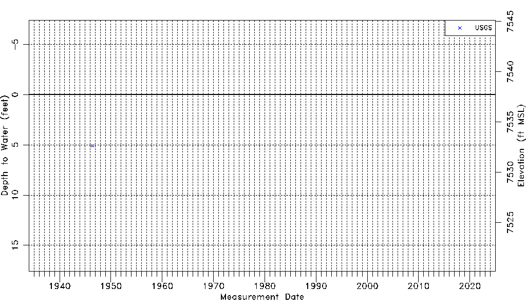
| Water-level Count | 1 |
| Water-level Date Range | 05/23/1946 thru 05/23/1946 |
| Monitored within the last 18 months | No, most recently on 05/23/1946 |
| Depth-to-Water Range (ft) | 5.08 to 5.08 |
| Water Table Elevation Range (ft NAVD88) | 7532.64 to 7532.64 |
| Water-Level-Source:Number-of-Measurements | USGS:1 |