| Well Information Table |
|---|
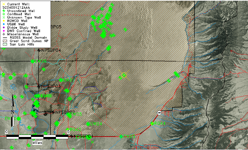
| Common Well ID | SC04001212AAA |
| USGS Well ID | 374407105360401 |
| GSDNP Well Name | 374407105360401 |
| USGS Station Name | SC04001212AAA |
| USGS Construction Date | 09/22/2000 |
| USGS Site Type | Well |
| USGS Site Use Information | Observation |
| USGS Groundwater Use Information | Unused |
| Data Source(s) | USGS |
| Location Data |
|---|
| TRS | SC04001212AAA |
| USGS TRS 1 | SC04001212AAA |
| USGS TRS | NENENES012T0040NR0012E |
| Longitude/Latitude (NAD83) | -105.60177754 , 37.73508341 |
| Longitude/Latitude Data Source | Davis Engineering Survey |
| USGS Longitude/Latitude (NAD83) | -105.6016809 , 37.73527860 |
| Easting, Northing RGDSS-NAD83 (US ft) | 220907.52 , 269089.64 |
| USGS Topography | Dunes |
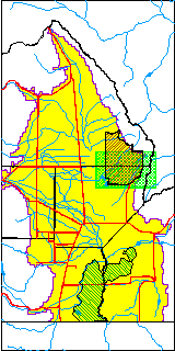
| USGS County | Alamosa County |
| USGS Map Name | ZAPATA RANCH |
| USGS Map Scale | 24000 |
| Elevation and Depth Data |
|---|
| Ground Elevation (ft NAVD88) | 7720.68000000000 |
| Elevation Data Source | Davis Engineering Survey |
| USGS Ground Elevation (ft NGVD29) | 7729.00 |
| 1/3-Arc Second NED Ground Elevation (ft NAVD88) | 7723.46 |
| 1-Arc Second NED Ground Elevation (ft NAVD88) | 7715.15 |
| SRTM Ground Elevation (ft NAVD88) | 7709.00 |
| Total Depth (ft) | 10.25 |
| USGS Hole Depth (ft) | 10.25 |
| USGS Well Depth (ft) | 10.25 |
| Model Layer | 1 |
| Model Layer Source | Dunes Layer |
| Depth of Bottom of Layer 1 | 290 |
| Depth of Bottom of Layer 2 | 700 |
| Depth of Bottom of Layer 3 | 1243 |
| Depth of Bottom of Layer 4 | 2420 |
| Additional Well Information | Construction |
| Aquifer Information |
|---|
| Aquifer Type | Unconfined |
| Aquifer Type Source | TD Elevation/Model Layer |
| USGS Aquifer Type | Unconfined Single Aquifer |
| USGS Hydrologic Unit | San Luis |
| USGS Data Available | Water-level (GW.LEV) |
| Water-level Database Information |
|---|
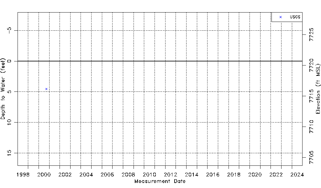
| Water-level Count | 1 |
| Water-level Date Range | 09/27/2000 thru 09/27/2000 |
| Monitored within the last 18 months | No, most recently on 09/27/2000 |
| Depth-to-Water Range (ft) | 4.53 to 4.53 |
| Water Table Elevation Range (ft NAVD88) | 7716.15 to 7716.15 |
| Water-Level-Source:Number-of-Measurements | USGSaguache Creek:1 |