| Well Information Table |
|---|
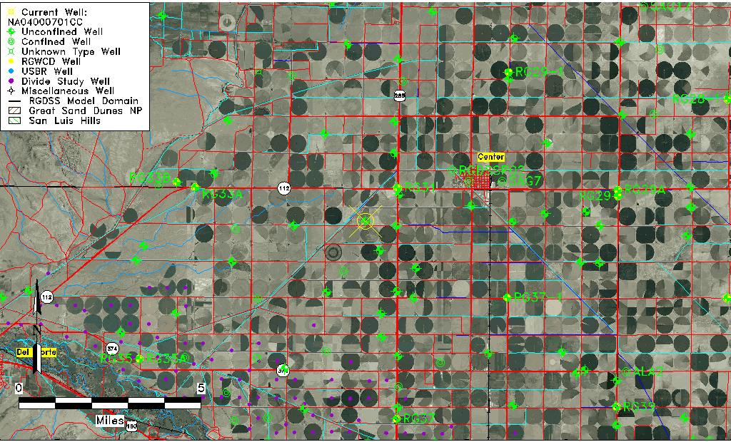
| Common Well ID | NA04000701CC |
| USGS Well ID | 374415106094801 |
| USGS Station Name | NA04000701CC |
| USGS Site Type | Well |
| USGS Site Use Information | Observation |
| USGS Groundwater Use Information | Unused |
| Data Source(s) | USGS |
| Location Data |
|---|
| TRS | NA04000701CC |
| USGS TRS 1 | NA04000701CC |
| Longitude/Latitude (NAD83) | -106.16475080 , 37.73527919 |
| Longitude/Latitude Data Source | GWSI decimal LAT/LONG field |
| USGS Longitude/Latitude (NAD83) | -106.1647508 , 37.73527919 |
| Easting, Northing RGDSS-NAD83 (US ft) | 58150.86 , 269537.38 |
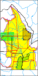
| USGS County | Rio Grande County |
| USGS Map Name | SEVENMILE PLAZA |
| USGS Map Scale | 24000 |
| Elevation and Depth Data |
|---|
| Ground Elevation (ft NAVD88) | 7685.61000000000 |
| Elevation Data Source | USGS GWSI database |
| USGS Ground Elevation (ft NGVD29) | 7681.00 |
| 1/3-Arc Second NED Ground Elevation (ft NAVD88) | 7685.25 |
| 1-Arc Second NED Ground Elevation (ft NAVD88) | 7685.02 |
| SRTM Ground Elevation (ft NAVD88) | 7693.57 |
| Total Depth (ft) | 104.00 |
| USGS Well Depth (ft) | 104.00 |
| Model Layer | 1 |
| Model Layer Source | Well Depth |
| Depth of Bottom of Layer 1 | 117 |
| Depth of Bottom of Layer 2 | 245 |
| Depth of Bottom of Layer 3 | 411 |
| Depth of Bottom of Layer 4 | 2057 |
| Additional Well Information | NONE |
| Aquifer Information |
|---|
| Aquifer Type | Unconfined |
| Aquifer Type Source | TD Elevation/Model Layer |
| USGS Hydrologic Unit | San Luis |
| USGS Data Available | Miscellaneous (GW.MISC) |
| Water-level Database Information |
|---|
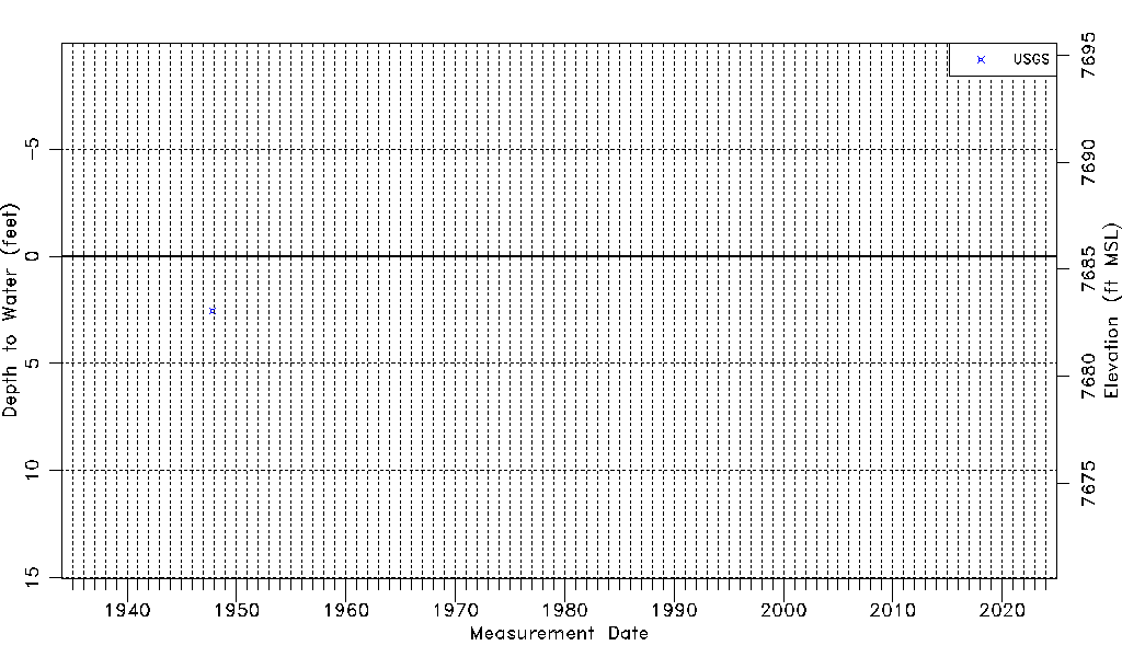
| Water-level Count | 1 |
| Water-level Date Range | 10/30/1947 thru 10/30/1947 |
| Monitored within the last 18 months | No, most recently on 10/30/1947 |
| Depth-to-Water Range (ft) | 2.54 to 2.54 |
| Water Table Elevation Range (ft NAVD88) | 7683.07 to 7683.07 |
| Water-Level-Source:Number-of-Measurements | USGSaguache Creek:1 |