| Well Information Table |
|---|
| Common Well ID | NA04000801CB |
| USGS Well ID | 374422106031401 |
| USGS Station Name | NA04000801CB |
| USGS Site Type | Well |
| USGS Site Use Information | Test |
| USGS Groundwater Use Information | Unknown |
| Data Source(s) | USGS |
| Location Data |
|---|
| TRS | NA04000801CB |
| USGS TRS 1 | NA04000801CB |
| Longitude/Latitude (NAD83) | -106.05446970 , 37.73944470 |
| Longitude/Latitude Data Source | GWSI decimal LAT/LONG field |
| USGS Longitude/Latitude (NAD83) | -106.0544697 , 37.73944470 |
| Easting, Northing RGDSS-NAD83 (US ft) | 90040.69 , 270902.92 |
| USGS Topography | Valley flat |
| USGS County | Alamosa County |
| USGS Map Name | CENTER SOUTH |
| USGS Map Scale | 24000 |
| Elevation and Depth Data |
|---|
| Ground Elevation (ft NAVD88) | 7616.87000000000 |
| Elevation Data Source | USGS GWSI database |
| USGS Ground Elevation (ft NGVD29) | 7612.50 |
| 1/3-Arc Second NED Ground Elevation (ft NAVD88) | 7617.05 |
| 1-Arc Second NED Ground Elevation (ft NAVD88) | 7617.13 |
| SRTM Ground Elevation (ft NAVD88) | 7621.69 |
| Total Depth (ft) | 33.30 |
| USGS Well Depth (ft) | 33.30 |
| Model Layer | 1 |
| Model Layer Source | Well Depth |
| Depth of Bottom of Layer 1 | 106 |
| Depth of Bottom of Layer 2 | 174 |
| Depth of Bottom of Layer 3 | 816 |
| Depth of Bottom of Layer 4 | 2404 |
| Additional Well Information | Production |
| Aquifer Information |
|---|
| Aquifer Type | Unconfined |
| Aquifer Type Source | TD Elevation/Model Layer |
| USGS Hydrologic Unit | San Luis |
| USGS Data Available | Discharge (GW.DISC) |
| Water-level Database Information |
|---|
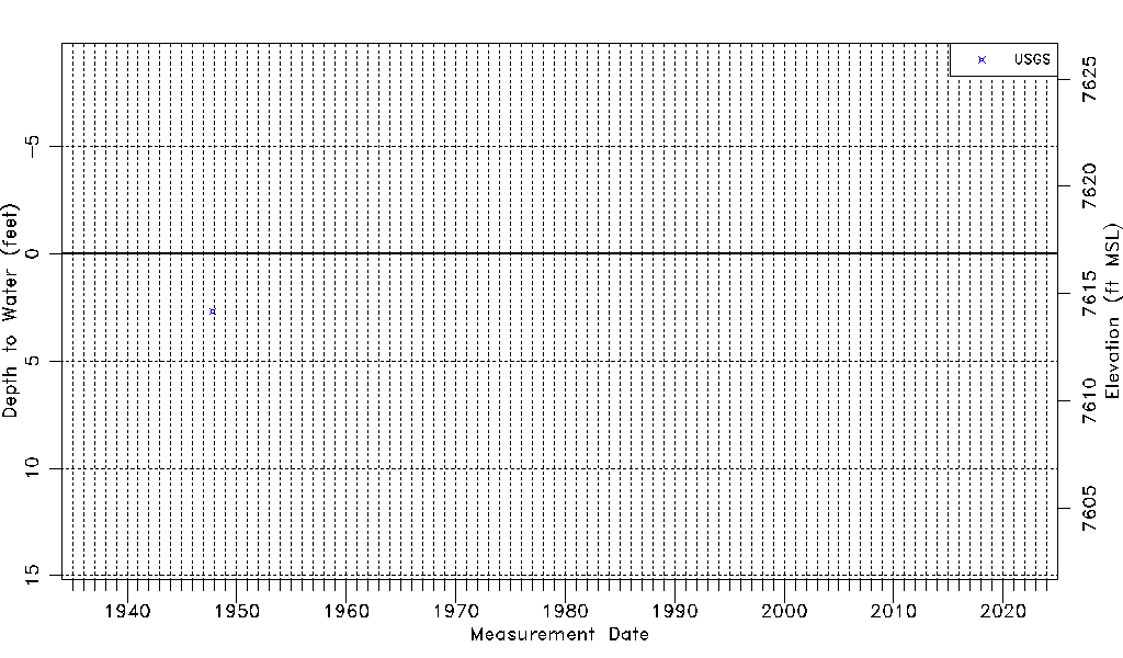
| Water-level Count | 1 |
| Water-level Date Range | 10/29/1947 thru 10/29/1947 |
| Monitored within the last 18 months | No, most recently on 10/29/1947 |
| Depth-to-Water Range (ft) | 2.68 to 2.68 |
| Water Table Elevation Range (ft NAVD88) | 7614.19 to 7614.19 |
| Water-Level-Source:Number-of-Measurements | USGSaguache Creek:1 |