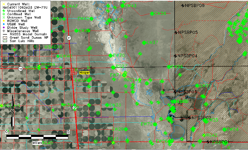
| Well Information Table |
|---|
| Common Well ID | NA04001106DAD3 EW-71U |
| USBR Well ID | EW71U |
| USGS Well ID | 374428105480403 |
| USGS Station Name | NA04001106DAD3 EW-71U |
| USGS Construction Date | 06/05/2002 |
| USGS Site Type | Well |
| USGS Site Use Information | Observation |
| USGS Groundwater Use Information | Unused |
| Data Source(s) | USGS, USBR |
| Location Data |
|---|
| TRS | NA04001106DAD3 EW-71U |
| USBR TRS | NA04001106DAD3 |
| USGS TRS 1 | NA04001106DAD3 EW-71U |
| Longitude/Latitude (NAD83) | -105.80290614 , 37.74160509 |
| Longitude/Latitude Data Source | USBOR EW well locations |
| USGS Longitude/Latitude (NAD83) | -105.8016861 , 37.74111097 |
| USBR Longitude/Latitude (NAD27) | -105.802331117320 , 37.7416052415759 |
| Easting, Northing RGDSS-NAD83 (US ft) | 162765.67 , 271485.77 |
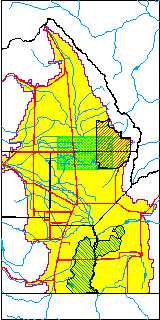
| USGS County | Alamosa County |
| USGS Map Name | HOOPER EAST |
| USGS Map Scale | 24000 |
| Elevation and Depth Data |
|---|
| Ground Elevation (ft NAVD88) | 7535.24000000000 |
| Elevation Data Source | USBOR EW well database |
| USBR Ground Elevation (ft NGVD29) | 7531.3 |
| USGS Ground Elevation (ft NGVD29) | 7531.30 |
| 1/3-Arc Second NED Ground Elevation (ft NAVD88) | 7535.19 |
| 1-Arc Second NED Ground Elevation (ft NAVD88) | 7535.68 |
| SRTM Ground Elevation (ft NAVD88) | 7542.96 |
| Total Depth (ft) | 17.00 |
| USBR Total Depth (ft) | 17 |
| USGS Well Depth (ft) | 16.80 |
| Model Layer | 1 |
| Model Layer Source | Aquifer Type |
| Depth of Bottom of Layer 1 | 102 |
| Depth of Bottom of Layer 2 | 309 |
| Depth of Bottom of Layer 3 | 1502 |
| Depth of Bottom of Layer 4 | 2612 |
| Additional Well Information | NONE |
| Aquifer Information |
|---|
| Aquifer Type | Unconfined |
| Aquifer Type Source | EW_AQFR |
| USGS Hydrologic Unit | San Luis |
| USGS Data Available | Discharge (GW.DISC) |
| Water-level Database Information |
|---|
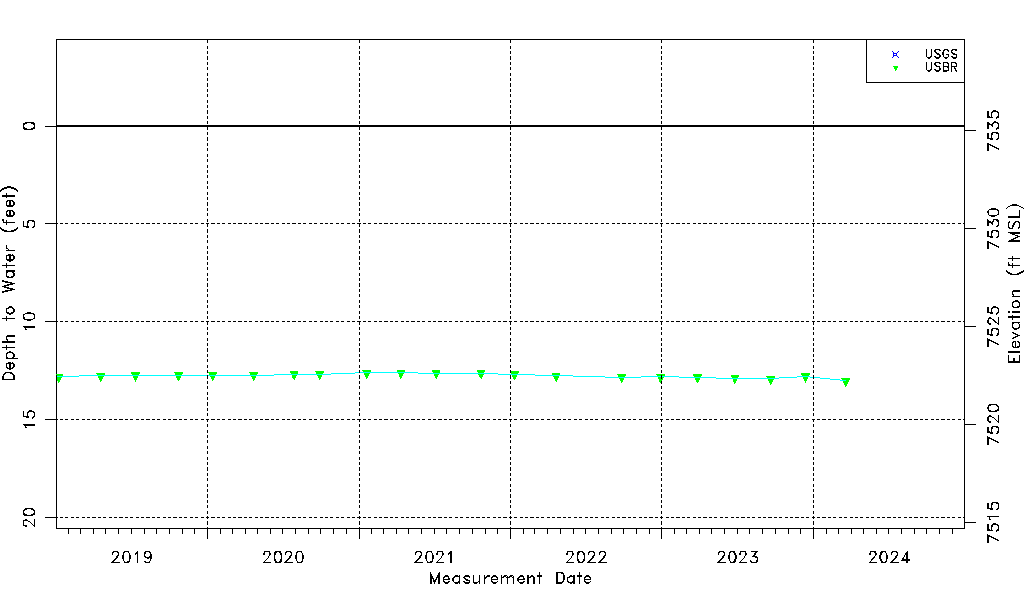
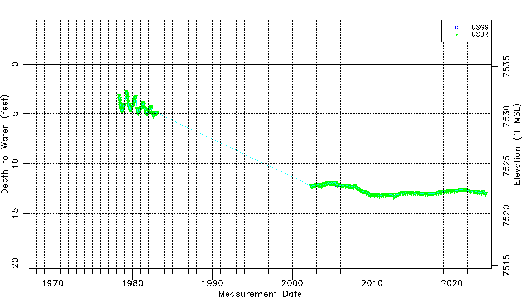
| Water-level Count | 183 |
| Water-level Date Range | 05/10/1978 thru 12/13/2023 |
| Monitored within the last 18 months | Yes, most recently on 12/13/2023 |
| Depth-to-Water Range (ft) | 2.77 to 13.34 |
| Water Table Elevation Range (ft NAVD88) | 7521.90 to 7532.47 |
| Water-Level-Source:Number-of-Measurements | USGS:5 USBR:182 |