| Well Information Table |
|---|
| Common Well ID | NA04001106ADD |
| USGS Well ID | 374440105480100 |
| GSDNP Well Name | 374440105480100 |
| USGS Station Name | NA04001106ADD |
| USGS Construction Date | 05/06/1983 |
| USGS Site Type | Well |
| USGS Site Use Information | Withdrawal of Water |
| USGS Groundwater Use Information | Other |
| Data Source(s) | USGS |
| Location Data |
|---|
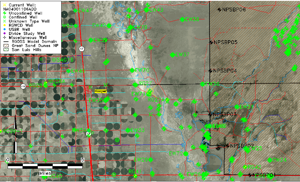
| TRS | NA04001106ADD |
| USGS TRS 1 | NA04001106ADD |
| USGS TRS | SESENES06 T040N R011E N |
| Longitude/Latitude (NAD83) | -105.80085270 , 37.74444424 |
| Longitude/Latitude Data Source | GWSI decimal LAT/LONG field |
| USGS Longitude/Latitude (NAD83) | -105.8008527 , 37.74444424 |
| Easting, Northing RGDSS-NAD83 (US ft) | 163360.75 , 272518.43 |
| USGS Topography | Valley flat |
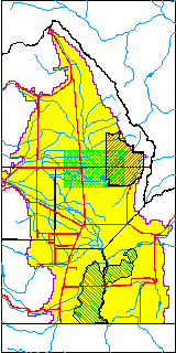
| USGS County | Alamosa County |
| USGS Map Name | HOOPER EAST |
| USGS Map Scale | 24000 |
| Elevation and Depth Data |
|---|
| Ground Elevation (ft NAVD88) | 7536.30000000000 |
| Elevation Data Source | USGS GWSI database |
| USGS Ground Elevation (ft NGVD29) | 7532.36 |
| 1/3-Arc Second NED Ground Elevation (ft NAVD88) | 7533.92 |
| 1-Arc Second NED Ground Elevation (ft NAVD88) | 7534.24 |
| SRTM Ground Elevation (ft NAVD88) | 7539.60 |
| Total Depth (ft) | 94.00 |
| USGS Hole Depth (ft) | 94.00 |
| USGS Well Depth (ft) | 94.00 |
| Model Layer | 1 |
| Model Layer Source | Dunes Layer |
| Depth of Bottom of Layer 1 | 103 |
| Depth of Bottom of Layer 2 | 312 |
| Depth of Bottom of Layer 3 | 1511 |
| Depth of Bottom of Layer 4 | 2669 |
| Additional Well Information | Production, Logs, Geohydrology, Construction |
| Aquifer Information |
|---|
| Aquifer Type | Unconfined |
| Aquifer Type Source | TD Elevation/Model Layer |
| USGS Primary Aquifer | Cenozoic Erathem |
| USGS Aquifer Type | Mixed (confined and unconfined) multiple aquifers |
| USGS Hydrologic Unit | San Luis |
| USGS Data Available | Geohydrologic |
| Water-level Database Information |
|---|
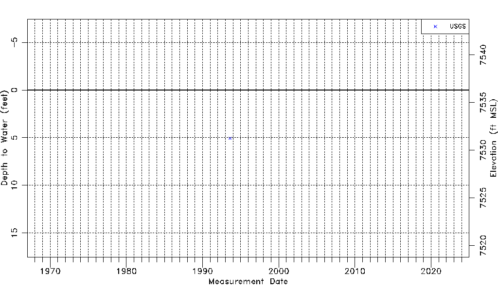
| Water-level Count | 1 |
| Water-level Date Range | 08/19/1993 thru 08/19/1993 |
| Monitored within the last 18 months | No, most recently on 08/19/1993 |
| Depth-to-Water Range (ft) | 5.04 to 5.04 |
| Water Table Elevation Range (ft NAVD88) | 7531.26 to 7531.26 |
| Water-Level-Source:Number-of-Measurements | USGSaguache Creek:1 |