| Well Information Table |
|---|
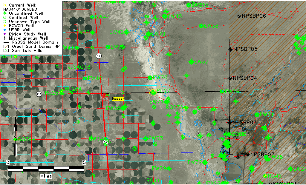
| Common Well ID | NA04101006BBB |
| USGS Well ID | 374501105490701 |
| GSDNP Well Name | 374501105490701 |
| USGS Station Name | NA04101006BBB |
| USGS Construction Date | 01/01/1974 |
| USGS Site Type | Well |
| USGS Site Use Information | Unused |
| USGS Groundwater Use Information | Unused |
| Data Source(s) | USGS |
| Location Data |
|---|
| TRS | NA04101006BBB |
| USGS TRS 1 | NA04101006BBB |
| USGS TRS | NWNWNWS006T0041NR0010EN |
| Longitude/Latitude (NAD83) | -105.81918640 , 37.75027746 |
| Longitude/Latitude Data Source | GWSI decimal LAT/LONG field |
| USGS Longitude/Latitude (NAD83) | -105.8191864 , 37.75027746 |
| Easting, Northing RGDSS-NAD83 (US ft) | 158064.62 , 274649.97 |
| USGS Topography | Valley flat |
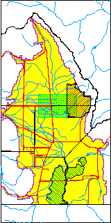
| USGS County | Alamosa County |
| Elevation and Depth Data |
|---|
| Ground Elevation (ft NAVD88) | 7535.91000000000 |
| Elevation Data Source | USGS GWSI database |
| USGS Ground Elevation (ft NGVD29) | 7532.00 |
| 1/3-Arc Second NED Ground Elevation (ft NAVD88) | 7536.41 |
| 1-Arc Second NED Ground Elevation (ft NAVD88) | 7538.54 |
| SRTM Ground Elevation (ft NAVD88) | 7539.37 |
| Total Depth (ft) | 30.00 |
| USGS Well Depth (ft) | 30.00 |
| Model Layer | 1 |
| Model Layer Source | Well Depth |
| Depth of Bottom of Layer 1 | 99 |
| Depth of Bottom of Layer 2 | 284 |
| Depth of Bottom of Layer 3 | 1485 |
| Depth of Bottom of Layer 4 | 2673 |
| Additional Well Information | Logs, Geohydrology, Construction |
| Aquifer Information |
|---|
| Aquifer Type | Unconfined |
| Aquifer Type Source | TD Elevation/Model Layer |
| USGS Primary Aquifer | Cenozoic Erathem |
| USGS Hydrologic Unit | San Luis |
| USGS Data Available | Geohydrologic |
| Water-level Database Information |
|---|
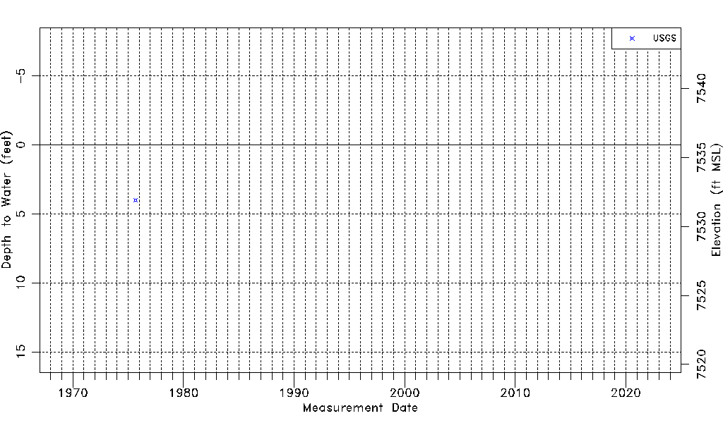
| Water-level Count | 1 |
| Water-level Date Range | 09/01/1975 thru 09/01/1975 |
| Monitored within the last 18 months | No, most recently on 09/01/1975 |
| Depth-to-Water Range (ft) | 4.00 to 4.00 |
| Water Table Elevation Range (ft NAVD88) | 7531.91 to 7531.91 |
| Water-Level-Source:Number-of-Measurements | USGSaguache Creek:1 |