| Well Information Table |
|---|
| Common Well ID | NA04101034DDD2 |
| USGS Well ID | 374502105511801 |
| GSDNP Well Name | 374502105511801 |
| USGS Station Name | NA04101034DDD2 |
| USGS Site Type | Well |
| USGS Site Use Information | Observation |
| USGS Groundwater Use Information | Unused |
| Data Source(s) | USGS |
| Location Data |
|---|
| TRS | NA04101034DDD2 |
| USGS TRS 1 | NA04101034DDD2 |
| Longitude/Latitude (NAD83) | -105.85500000 , 37.75050000 |
| Longitude/Latitude Data Source | GWSI decimal LAT/LONG field |
| USGS Longitude/Latitude (NAD83) | -105.8550000 , 37.75050000 |
| Easting, Northing RGDSS-NAD83 (US ft) | 147713.17 , 274749.85 |
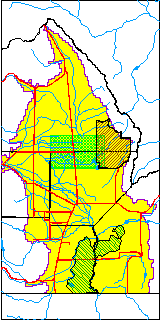
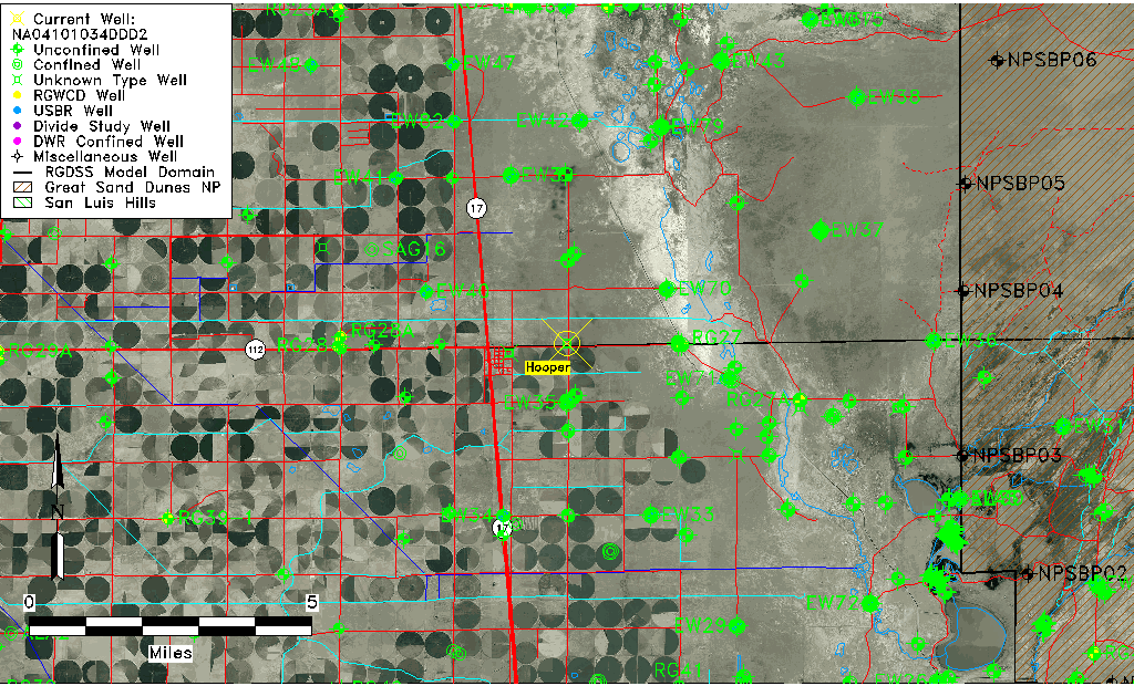
| USGS County | Saguache County |
| Elevation and Depth Data |
|---|
| Ground Elevation (ft NAVD88) | 7542.86000000000 |
| Elevation Data Source | USGS GWSI database |
| USGS Ground Elevation (ft NGVD29) | 7539.00 |
| 1/3-Arc Second NED Ground Elevation (ft NAVD88) | 7546.80 |
| 1-Arc Second NED Ground Elevation (ft NAVD88) | 7546.89 |
| SRTM Ground Elevation (ft NAVD88) | 7553.15 |
| Depth of Bottom of Layer 1 | 98 |
| Depth of Bottom of Layer 2 | 247 |
| Depth of Bottom of Layer 3 | 1371 |
| Depth of Bottom of Layer 4 | 2697 |
| Additional Well Information | Construction |
| Aquifer Information |
|---|
| Aquifer Type | Unknown |
| Aquifer Type Source | None |
| USGS Aquifer Type | Unconfined Single Aquifer |
| USGS Hydrologic Unit | San Luis |
| USGS Data Available | Discharge (GW.DISC) |
| Water-level Database Information |
|---|
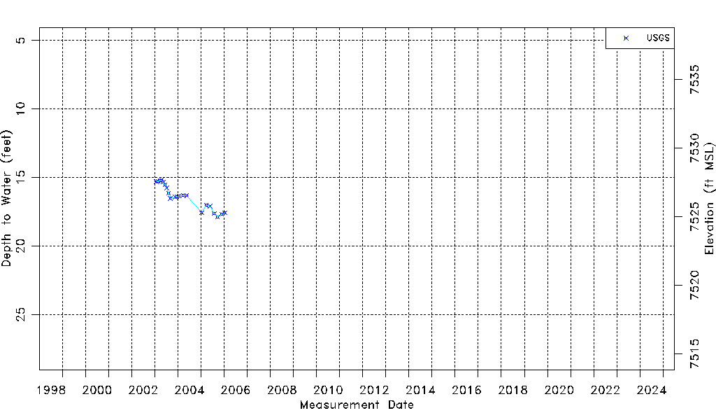
| Water-level Count | 21 |
| Water-level Date Range | 01/24/2003 thru 01/12/2006 |
| Monitored within the last 18 months | No, most recently on 01/12/2006 |
| Depth-to-Water Range (ft) | 15.21 to 17.87 |
| Water Table Elevation Range (ft NAVD88) | 7524.99 to 7527.65 |
| Water-Level-Source:Number-of-Measurements | USGS:21 |