| Well Information Table |
|---|
| Common Well ID | NA04101036AAB3 EW-70U |
| USBR Well ID | EW70U |
| USGS Well ID | 374552105492103 |
| USGS Station Name | NA04101036AAB3 EW-70U |
| USGS Construction Date | 07/19/2002 |
| USGS Site Type | Well |
| USGS Site Use Information | Observation |
| USGS Groundwater Use Information | Unused |
| Data Source(s) | USGS, USBR |
| Location Data |
|---|
| TRS | NA04101036AAB3 EW-70U |
| USBR TRS | NA04101036AAB3 |
| USGS TRS 1 | NA04101036AAB3 EW-70U |
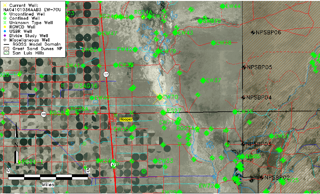
| Longitude/Latitude (NAD83) | -105.82251023 , 37.76451259 |
| Longitude/Latitude Data Source | USBOR EW well locations |
| USGS Longitude/Latitude (NAD83) | -105.8230750 , 37.76444409 |
| USBR Longitude/Latitude (NAD27) | -105.821935172090 , 37.7645129394519 |
| Easting, Northing RGDSS-NAD83 (US ft) | 157112.54 , 279833.48 |
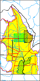
| USGS County | Saguache County |
| USGS Map Name | DEADMAN CAMP |
| USGS Map Scale | 24000 |
| Elevation and Depth Data |
|---|
| Ground Elevation (ft NAVD88) | 7535.81000000000 |
| Elevation Data Source | USBOR EW well database |
| USBR Ground Elevation (ft NGVD29) | 7531.9 |
| USGS Ground Elevation (ft NGVD29) | 7532.00 |
| 1/3-Arc Second NED Ground Elevation (ft NAVD88) | 7534.59 |
| 1-Arc Second NED Ground Elevation (ft NAVD88) | 7535.46 |
| SRTM Ground Elevation (ft NAVD88) | 7540.39 |
| Total Depth (ft) | 18.00 |
| USBR Total Depth (ft) | 18 |
| USGS Well Depth (ft) | 18.30 |
| Model Layer | 1 |
| Model Layer Source | Aquifer Type |
| Depth of Bottom of Layer 1 | 95 |
| Depth of Bottom of Layer 2 | 275 |
| Depth of Bottom of Layer 3 | 1515 |
| Depth of Bottom of Layer 4 | 2907 |
| Additional Well Information | NONE |
| Aquifer Information |
|---|
| Aquifer Type | Unconfined |
| Aquifer Type Source | EW_AQFR |
| USGS Hydrologic Unit | San Luis |
| USGS Data Available | Discharge (GW.DISC) |
| Water-level Database Information |
|---|
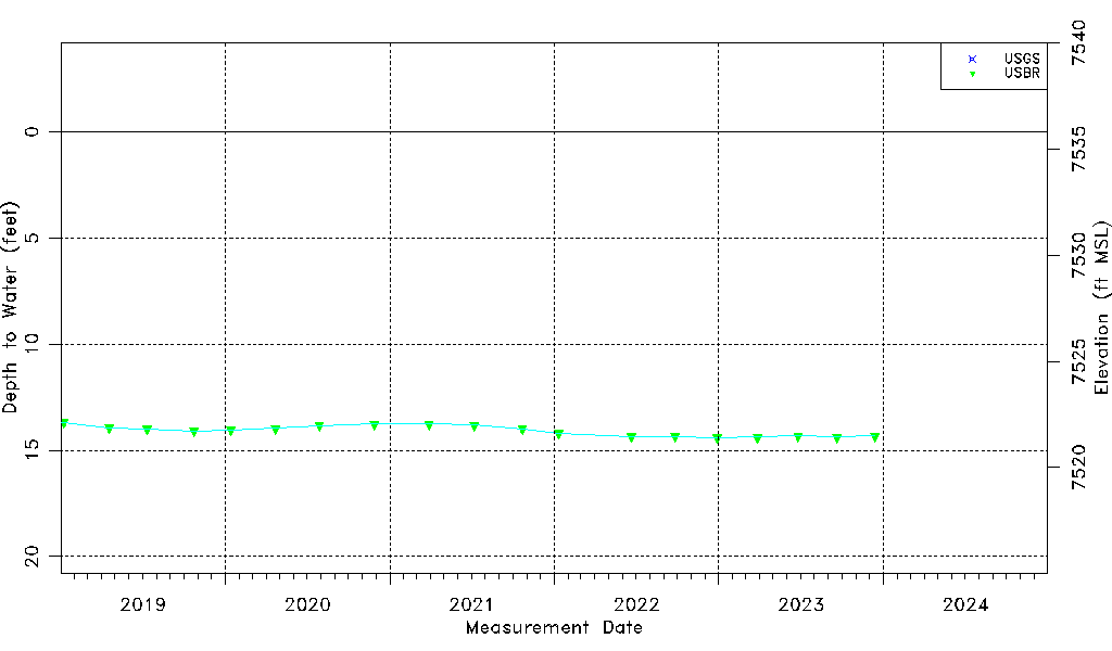
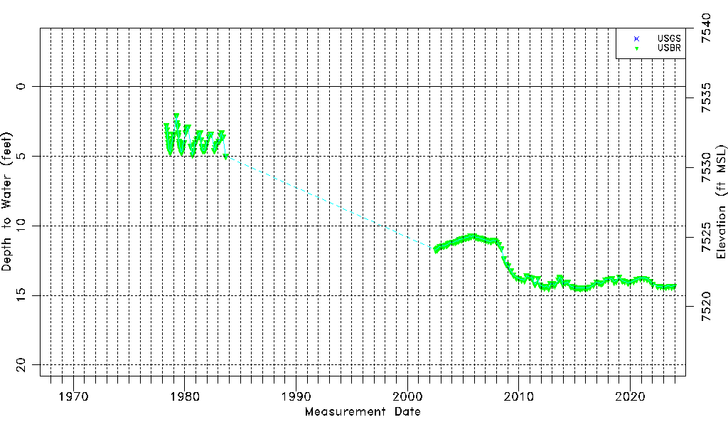
| Water-level Count | 188 |
| Water-level Date Range | 05/12/1978 thru 12/13/2023 |
| Monitored within the last 18 months | Yes, most recently on 12/13/2023 |
| Depth-to-Water Range (ft) | 2.10 to 14.48 |
| Water Table Elevation Range (ft NAVD88) | 7521.33 to 7533.71 |
| Water-Level-Source:Number-of-Measurements | USGS:5 USBR:187 |