| Well Information Table |
|---|
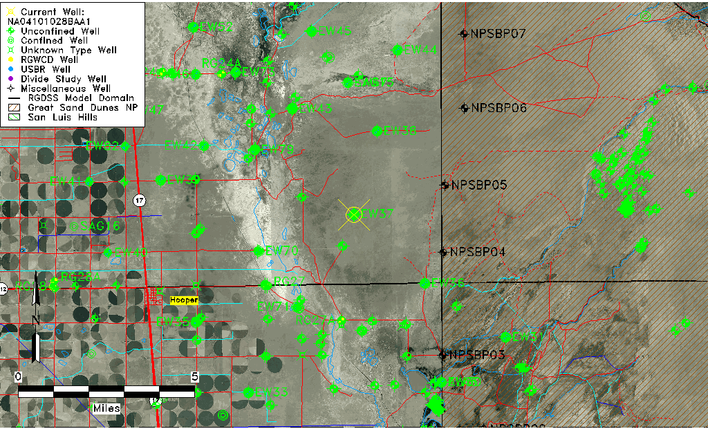
| Common Well ID | NA04101028BAA1 |
| USGS Well ID | 374646105462202 |
| GSDNP Well Name | 374646105462202 |
| USGS Station Name | NA04101028BAA1 |
| USGS Construction Date | 08/20/1982 |
| USGS Site Type | Well |
| USGS Site Use Information | Observation |
| USGS Groundwater Use Information | Unused |
| Data Source(s) | USGS |
| Location Data |
|---|
| TRS | NA04101028BAA1 |
| USGS TRS 1 | NA04101028BAA1 |
| Longitude/Latitude (NAD83) | -105.77335140 , 37.77944407 |
| Longitude/Latitude Data Source | GWSI decimal LAT/LONG field |
| USGS Longitude/Latitude (NAD83) | -105.7733514 , 37.77944407 |
| Easting, Northing RGDSS-NAD83 (US ft) | 171324.90 , 285248.87 |
| USGS Topography | Valley flat |
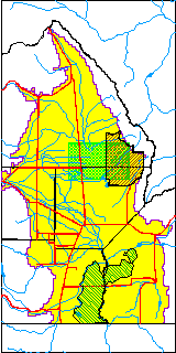
| USGS County | Saguache County |
| USGS Map Name | DEADMAN CAMP |
| USGS Map Scale | 24000 |
| Elevation and Depth Data |
|---|
| Ground Elevation (ft NAVD88) | 7563.23000000000 |
| Elevation Data Source | USGS GWSI database |
| USGS Ground Elevation (ft NGVD29) | 7559.20 |
| 1/3-Arc Second NED Ground Elevation (ft NAVD88) | 7564.43 |
| 1-Arc Second NED Ground Elevation (ft NAVD88) | 7562.23 |
| SRTM Ground Elevation (ft NAVD88) | 7575.24 |
| Total Depth (ft) | 155.00 |
| USGS Hole Depth (ft) | 160.00 |
| USGS Well Depth (ft) | 155.00 |
| Model Layer | 2 |
| Model Layer Source | Dunes Layer |
| Depth of Bottom of Layer 1 | 126 |
| Depth of Bottom of Layer 2 | 374 |
| Depth of Bottom of Layer 3 | 1632 |
| Depth of Bottom of Layer 4 | 3336 |
| Additional Well Information | Logs, Construction |
| Aquifer Information |
|---|
| Aquifer Type | Confined |
| Aquifer Type Source | TD Elevation/Model Layer |
| USGS Hydrologic Unit | San Luis |
| USGS Data Available | Water-level (GW.LEV) |
| Water-level Database Information |
|---|
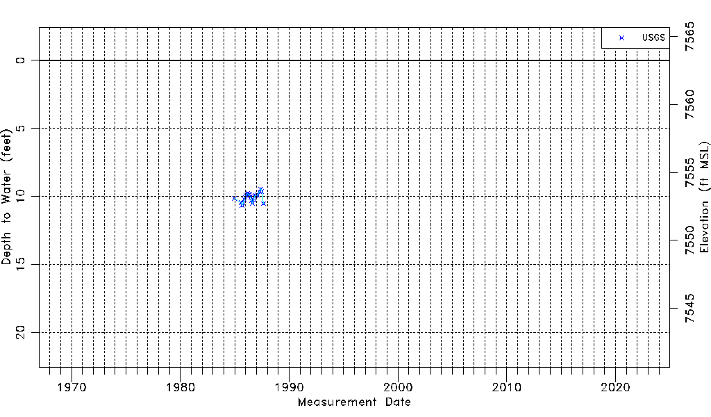
| Water-level Count | 23 |
| Water-level Date Range | 12/19/1984 thru 08/20/1987 |
| Monitored within the last 18 months | No, most recently on 08/20/1987 |
| Depth-to-Water Range (ft) | 9.44 to 10.66 |
| Water Table Elevation Range (ft NAVD88) | 7552.57 to 7553.79 |
| Water-Level-Source:Number-of-Measurements | USGS:23 |