| Well Information Table |
|---|
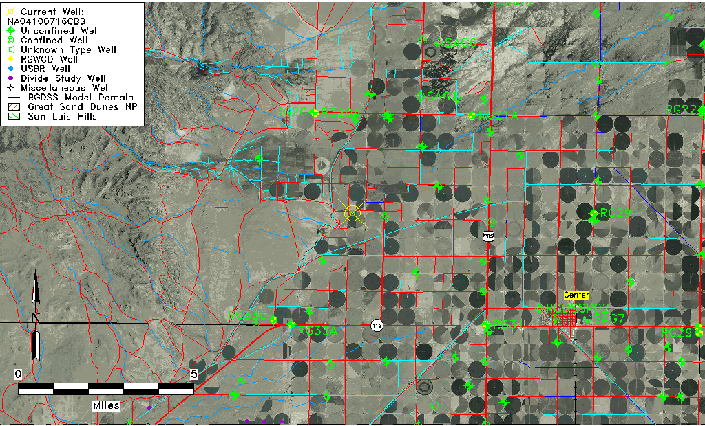
| Common Well ID | NA04100716CBB |
| USGS Well ID | 374740106130501 |
| USGS Station Name | NA04100716CBB |
| USGS Construction Date | 01/01/1943 |
| USGS Site Type | Well |
| USGS Site Use Information | Withdrawal of Water |
| USGS Groundwater Use Information | Irrigation |
| Data Source(s) | USGS |
| Location Data |
|---|
| TRS | NA04100716CBB |
| USGS TRS 1 | NA04100716CBB |
| Longitude/Latitude (NAD83) | -106.21864070 , 37.79444600 |
| Longitude/Latitude Data Source | GWSI decimal LAT/LONG field |
| USGS Longitude/Latitude (NAD83) | -106.2186407 , 37.79444600 |
| Easting, Northing RGDSS-NAD83 (US ft) | 42697.65 , 291164.20 |
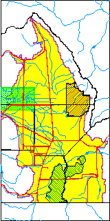
| USGS County | Saguache County |
| Elevation and Depth Data |
|---|
| Ground Elevation (ft NAVD88) | 7693.58000000000 |
| Elevation Data Source | USGS GWSI database |
| USGS Ground Elevation (ft NGVD29) | 7688.90 |
| 1/3-Arc Second NED Ground Elevation (ft NAVD88) | 7690.38 |
| 1-Arc Second NED Ground Elevation (ft NAVD88) | 7690.37 |
| SRTM Ground Elevation (ft NAVD88) | 7684.08 |
| Depth of Bottom of Layer 1 | 172 |
| Depth of Bottom of Layer 2 | 385 |
| Depth of Bottom of Layer 3 | 441 |
| Depth of Bottom of Layer 4 | 938 |
| Additional Well Information | NONE |
| Aquifer Information |
|---|
| Aquifer Type | Unknown |
| Aquifer Type Source | None |
| USGS Hydrologic Unit | Saguache |
| USGS Data Available | Miscellaneous (GW.MISC) |
| Water-level Database Information |
|---|
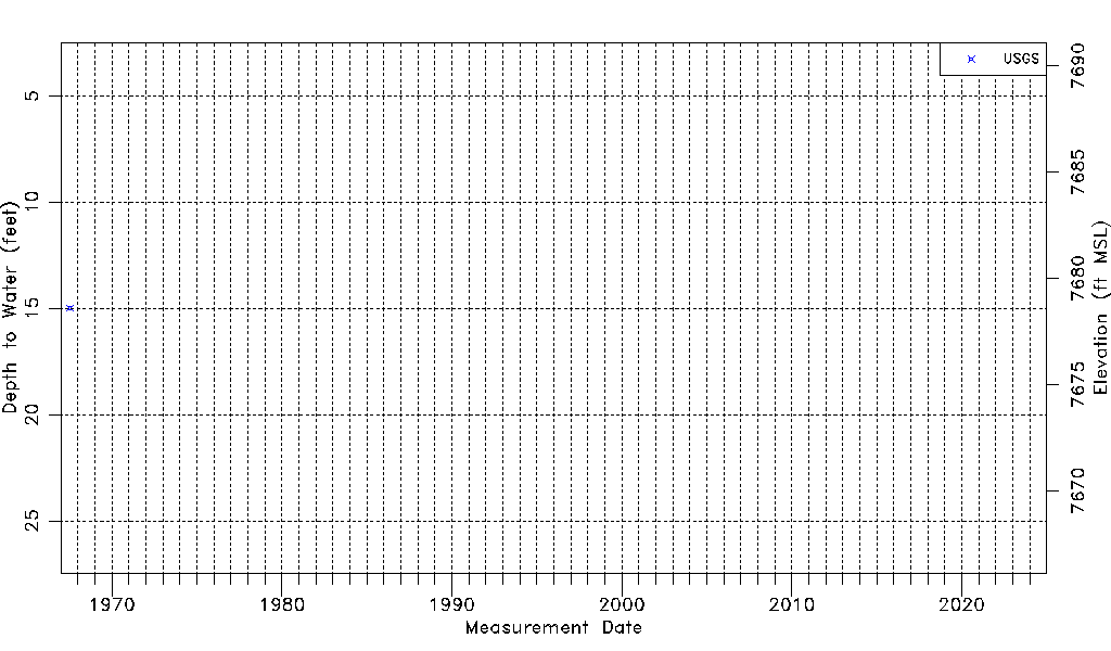
| Water-level Count | 1 |
| Water-level Date Range | 07/14/1967 thru 07/14/1967 |
| Monitored within the last 18 months | No, most recently on 07/14/1967 |
| Depth-to-Water Range (ft) | 14.97 to 14.97 |
| Water Table Elevation Range (ft NAVD88) | 7678.61 to 7678.61 |
| Water-Level-Source:Number-of-Measurements | USGS:1 |