| Well Information Table |
|---|
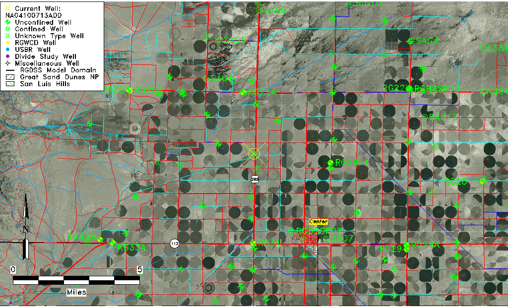
| Common Well ID | NA04100713ADD |
| USGS Well ID | 374757106085301 |
| USGS Station Name | NA04100713ADD |
| USGS Construction Date | 08/11/1993 |
| USGS Site Type | Well |
| USGS Site Use Information | Observation |
| USGS Groundwater Use Information | Unused |
| Data Source(s) | USGS |
| Location Data |
|---|
| TRS | NA04100713ADD |
| USGS TRS 1 | NA04100713ADD |
| USGS TRS | SESENES 13T 41NR 7E |
| Longitude/Latitude (NAD83) | -106.14871330 , 37.79993979 |
| Longitude/Latitude Data Source | GWSI decimal LAT/LONG field |
| USGS Longitude/Latitude (NAD83) | -106.1487133 , 37.79993979 |
| Easting, Northing RGDSS-NAD83 (US ft) | 62908.94 , 293052.28 |
| USGS Topography | Valley flat |
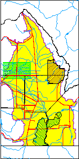
| USGS County | Saguache County |
| USGS Map Name | LA GARITA |
| USGS Map Scale | 240000 |
| Elevation and Depth Data |
|---|
| Ground Elevation (ft NAVD88) | 7647.58000000000 |
| Elevation Data Source | USGS GWSI database |
| USGS Ground Elevation (ft NGVD29) | 7643.00 |
| 1/3-Arc Second NED Ground Elevation (ft NAVD88) | 7647.21 |
| 1-Arc Second NED Ground Elevation (ft NAVD88) | 7647.19 |
| SRTM Ground Elevation (ft NAVD88) | 7654.20 |
| Total Depth (ft) | 17.60 |
| USGS Hole Depth (ft) | 20.00 |
| USGS Well Depth (ft) | 17.60 |
| Model Layer | 1 |
| Model Layer Source | Well Depth |
| Depth of Bottom of Layer 1 | 122 |
| Depth of Bottom of Layer 2 | 274 |
| Depth of Bottom of Layer 3 | 600 |
| Depth of Bottom of Layer 4 | 2356 |
| Additional Well Information | Logs, Geohydrology, Construction, Aquifer |
| Aquifer Information |
|---|
| Aquifer Type | Unconfined |
| Aquifer Type Source | TD Elevation/Model Layer |
| USGS Primary Aquifer | 112ALMS |
| USGS Aquifer Type | Unconfined Single Aquifer |
| USGS Hydrologic Unit | Saguache |
| USGS Data Available | Water-level (GW.LEV) |
| Water-level Database Information |
|---|
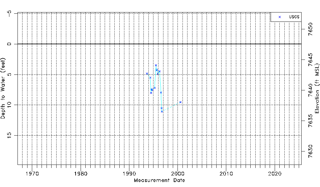
| Water-level Count | 16 |
| Water-level Date Range | 09/09/1993 thru 07/26/2000 |
| Monitored within the last 18 months | No, most recently on 07/26/2000 |
| Depth-to-Water Range (ft) | 3.49 to 11.07 |
| Water Table Elevation Range (ft NAVD88) | 7636.51 to 7644.09 |
| Water-Level-Source:Number-of-Measurements | USGS:16 |