| Well Information Table |
|---|
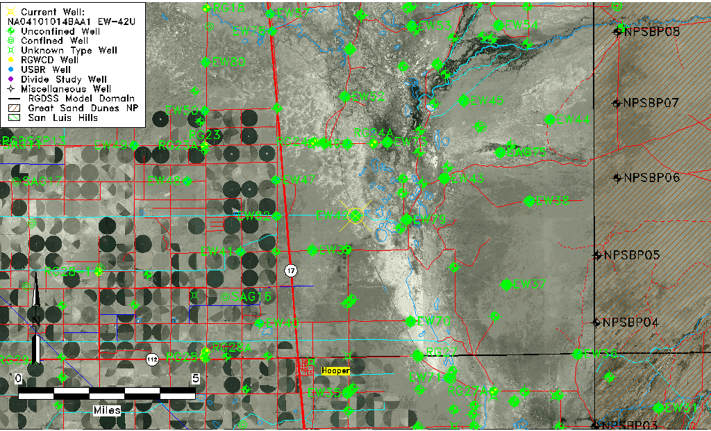
| Common Well ID | NA04101014BAA1 EW-42U |
| USBR Well ID | EW42U |
| USGS Well ID | 374827105510201 |
| GSDNP Well Name | 374827105510201 |
| USGS Station Name | NA04101014BAA1 EW-42U |
| USGS Site Type | Well |
| USGS Site Use Information | Observation |
| USGS Groundwater Use Information | Unknown |
| Data Source(s) | USGS, USBR |
| Location Data |
|---|
| TRS | NA04101014BAA1 EW-42U |
| USBR TRS | NA04101014BAA1 |
| USGS TRS 1 | NA04101014BAA1 EW-42U |
| Longitude/Latitude (NAD83) | -105.85109054 , 37.80762843 |
| Longitude/Latitude Data Source | USBOR EW well locations |
| USGS Longitude/Latitude (NAD83) | -105.8511302 , 37.80749955 |
| USBR Longitude/Latitude (NAD27) | -105.850515936061 , 37.8076288769994 |
| Easting, Northing RGDSS-NAD83 (US ft) | 148884.31 , 295543.84 |
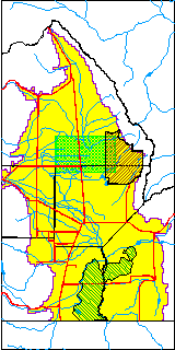
| USGS County | Saguache County |
| Elevation and Depth Data |
|---|
| Ground Elevation (ft NAVD88) | 7537.27000000000 |
| Elevation Data Source | USBOR EW well database |
| USBR Ground Elevation (ft NGVD29) | 7533.4 |
| USGS Ground Elevation (ft NGVD29) | 7533.40 |
| 1/3-Arc Second NED Ground Elevation (ft NAVD88) | 7536.85 |
| 1-Arc Second NED Ground Elevation (ft NAVD88) | 7537.89 |
| SRTM Ground Elevation (ft NAVD88) | 7542.90 |
| Total Depth (ft) | 45.00 |
| USBR Total Depth (ft) | 45 |
| USGS Well Depth (ft) | 140.00 |
| Model Layer | 1 |
| Model Layer Source | Aquifer Type |
| Depth of Bottom of Layer 1 | 101 |
| Depth of Bottom of Layer 2 | 263 |
| Depth of Bottom of Layer 3 | 1475 |
| Depth of Bottom of Layer 4 | 3537 |
| Additional Well Information | NONE |
| Aquifer Information |
|---|
| Aquifer Type | Unconfined |
| Aquifer Type Source | EW_AQFR |
| USGS Hydrologic Unit | San Luis |
| USGS Data Available | Water-level (GW.LEV) |
| Water-level Database Information |
|---|
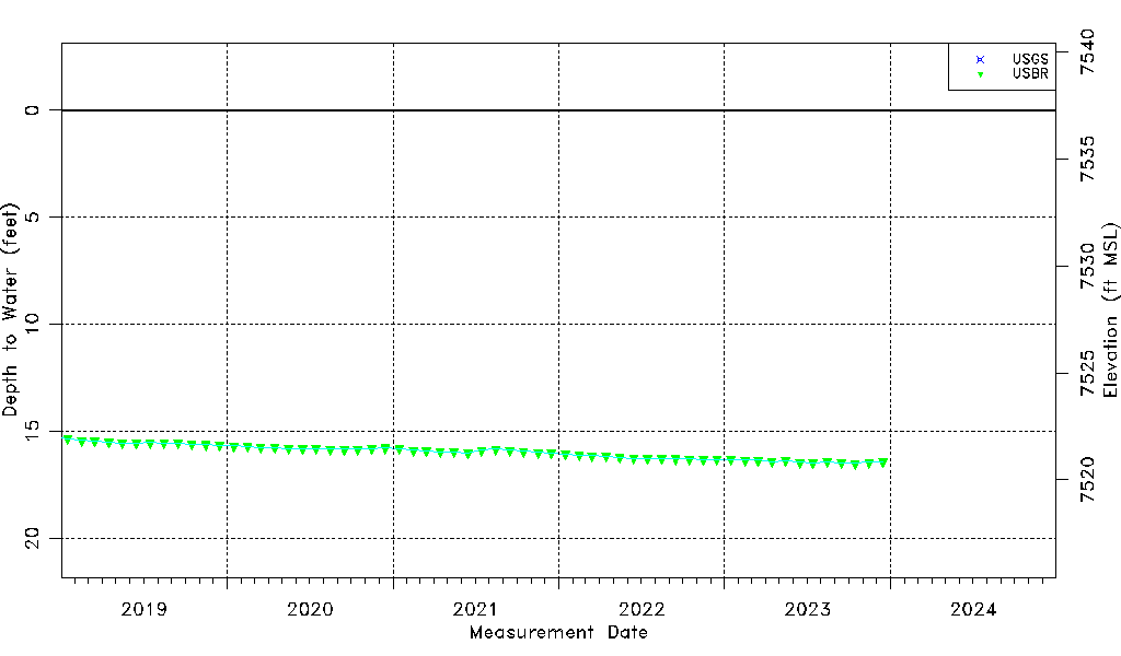
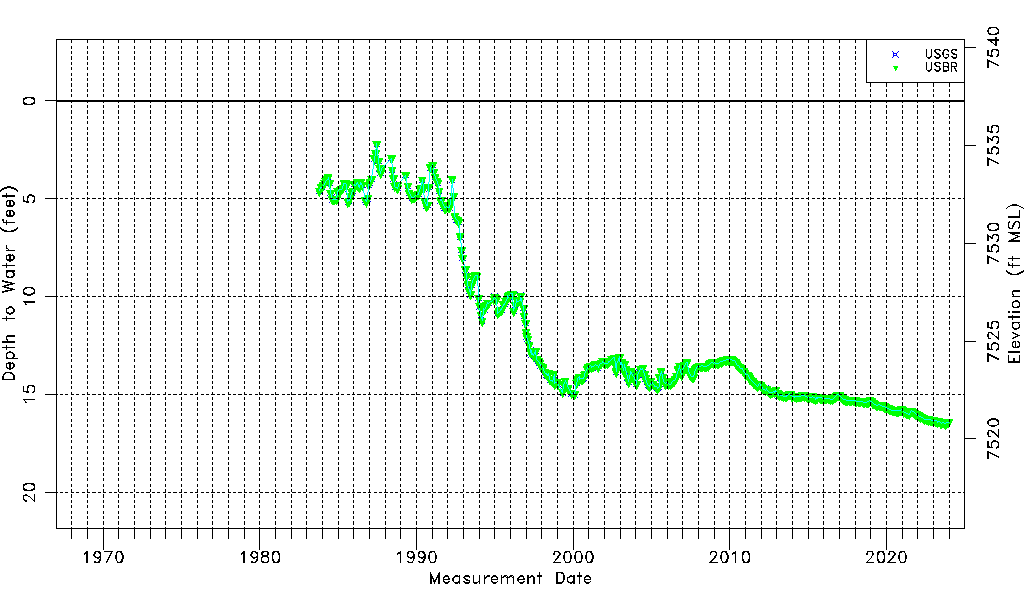
| Water-level Count | 497 |
| Water-level Date Range | 10/19/1983 thru 12/15/2023 |
| Monitored within the last 18 months | Yes, most recently on 12/15/2023 |
| Depth-to-Water Range (ft) | 2.19 to 16.49 |
| Water Table Elevation Range (ft NAVD88) | 7520.78 to 7535.08 |
| Water-Level-Source:Number-of-Measurements | USGS:273 USBR:466 |