| Well Information Table |
|---|
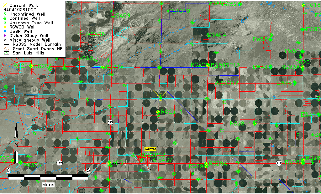
| Common Well ID | NA04100810CC |
| USGS Well ID | 374830106052501 |
| USGS Station Name | NA04100810CC |
| USGS Site Type | Well |
| USGS Site Use Information | Test |
| USGS Groundwater Use Information | Unknown |
| Data Source(s) | USGS |
| Location Data |
|---|
| TRS | NA04100810CC |
| USGS TRS 1 | NA04100810CC |
| Longitude/Latitude (NAD83) | -106.09085850 , 37.80833369 |
| Longitude/Latitude Data Source | GWSI decimal LAT/LONG field |
| USGS Longitude/Latitude (NAD83) | -106.0908585 , 37.80833369 |
| Easting, Northing RGDSS-NAD83 (US ft) | 79634.80 , 296026.82 |
| USGS Topography | Valley flat |
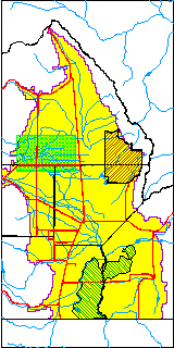
| USGS County | Alamosa County |
| USGS Map Name | CENTER NORTH |
| USGS Map Scale | 24000 |
| Elevation and Depth Data |
|---|
| Ground Elevation (ft NAVD88) | 7616.43000000000 |
| Elevation Data Source | USGS GWSI database |
| USGS Ground Elevation (ft NGVD29) | 7612.00 |
| 1/3-Arc Second NED Ground Elevation (ft NAVD88) | 7615.52 |
| 1-Arc Second NED Ground Elevation (ft NAVD88) | 7615.51 |
| SRTM Ground Elevation (ft NAVD88) | 7618.41 |
| Total Depth (ft) | 80.00 |
| USGS Well Depth (ft) | 80.00 |
| Model Layer | 1 |
| Model Layer Source | Well Depth |
| Depth of Bottom of Layer 1 | 97 |
| Depth of Bottom of Layer 2 | 151 |
| Depth of Bottom of Layer 3 | 763 |
| Depth of Bottom of Layer 4 | 2575 |
| Additional Well Information | Production, Logs |
| Aquifer Information |
|---|
| Aquifer Type | Unconfined |
| Aquifer Type Source | TD Elevation/Model Layer |
| USGS Hydrologic Unit | San Luis |
| USGS Data Available | Discharge (GW.DISC) |
| Water-level Database Information |
|---|
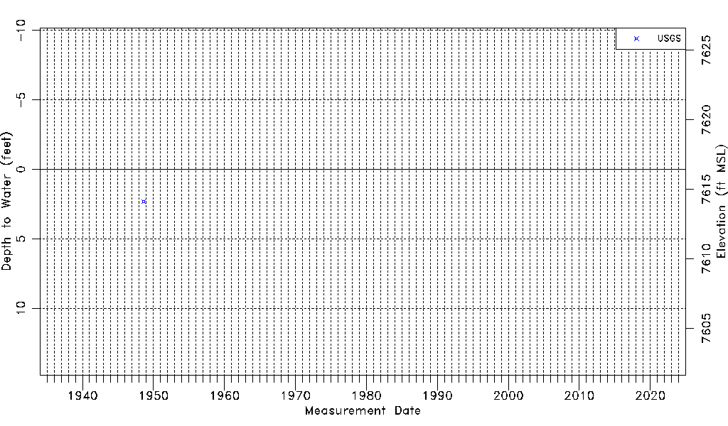
| Water-level Count | 1 |
| Water-level Date Range | 08/07/1948 thru 08/07/1948 |
| Monitored within the last 18 months | No, most recently on 08/07/1948 |
| Depth-to-Water Range (ft) | 2.31 to 2.31 |
| Water Table Elevation Range (ft NAVD88) | 7614.12 to 7614.12 |
| Water-Level-Source:Number-of-Measurements | USGSaguache Creek:1 |