| Well Information Table |
|---|
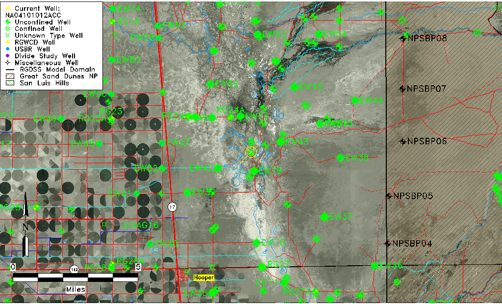
| Common Well ID | NA04101012ACC |
| USGS Well ID | 374901105493501 |
| GSDNP Well Name | 374901105493501 |
| USGS Station Name | NA04101012ACC |
| USGS Construction Date | 09/04/1981 |
| USGS Site Type | Well |
| USGS Site Use Information | Test |
| USGS Groundwater Use Information | Unknown |
| Data Source(s) | USGS |
| Location Data |
|---|
| TRS | NA04101012ACC |
| USGS TRS 1 | NA04101012ACC |
| Longitude/Latitude (NAD83) | -105.82696280 , 37.81694397 |
| Longitude/Latitude Data Source | GWSI decimal LAT/LONG field |
| USGS Longitude/Latitude (NAD83) | -105.8269628 , 37.81694397 |
| Easting, Northing RGDSS-NAD83 (US ft) | 155858.69 , 298922.02 |
| USGS Topography | Valley flat |
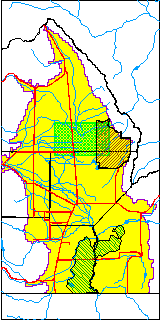
| USGS County | Saguache County |
| USGS Map Name | DEADMAN CAMP |
| USGS Map Scale | 24000 |
| Elevation and Depth Data |
|---|
| Ground Elevation (ft NAVD88) | 7535.82000000000 |
| Elevation Data Source | USGS GWSI database |
| USGS Ground Elevation (ft NGVD29) | 7531.90 |
| 1/3-Arc Second NED Ground Elevation (ft NAVD88) | 7534.35 |
| 1-Arc Second NED Ground Elevation (ft NAVD88) | 7532.86 |
| SRTM Ground Elevation (ft NAVD88) | 7539.37 |
| Total Depth (ft) | 93.00 |
| USGS Hole Depth (ft) | 94.00 |
| USGS Well Depth (ft) | 93.00 |
| Model Layer | 1 |
| Model Layer Source | Well Depth |
| Depth of Bottom of Layer 1 | 95 |
| Depth of Bottom of Layer 2 | 287 |
| Depth of Bottom of Layer 3 | 1568 |
| Depth of Bottom of Layer 4 | 3802 |
| Additional Well Information | Production, Logs, Construction |
| Aquifer Information |
|---|
| Aquifer Type | Unconfined |
| Aquifer Type Source | TD Elevation/Model Layer |
| USGS Hydrologic Unit | San Luis |
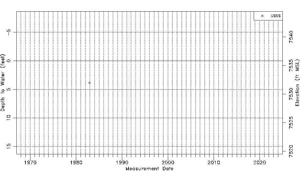
| USGS Data Available | Water-level (GW.LEV) |
| Water-level Database Information |
|---|
| Water-level Count | 1 |
| Water-level Date Range | 12/02/1982 thru 12/02/1982 |
| Monitored within the last 18 months | No, most recently on 12/02/1982 |
| Depth-to-Water Range (ft) | 3.84 to 3.84 |
| Water Table Elevation Range (ft NAVD88) | 7531.98 to 7531.98 |
| Water-Level-Source:Number-of-Measurements | USGSaguache Creek:1 |