| Well Information Table |
|---|
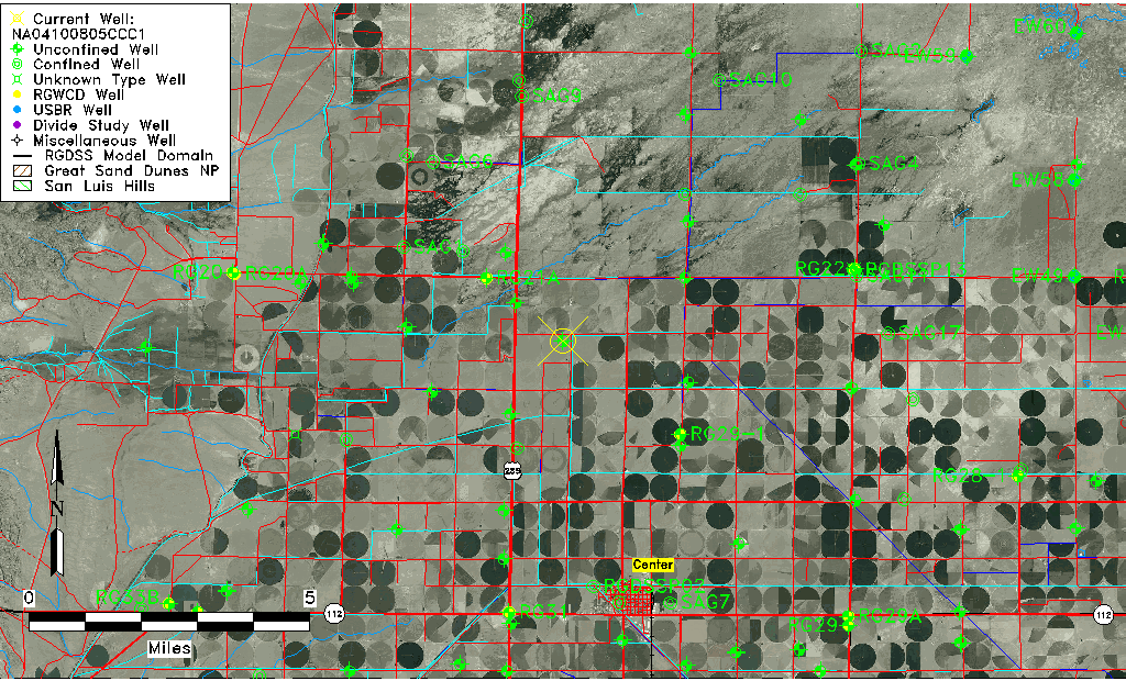
| Common Well ID | NA04100805CCC1 |
| USGS Well ID | 374908106075201 |
| USGS Station Name | NA04100805CCC1 |
| USGS Construction Date | 01/01/1966 |
| USGS Site Type | Well |
| USGS Site Use Information | Withdrawal of Water |
| USGS Groundwater Use Information | Irrigation |
| Data Source(s) | USGS |
| Location Data |
|---|
| TRS | NA04100805CCC1 |
| USGS TRS 1 | NA04100805CCC1 |
| USGS TRS | SWSWSWS005T0041NR0008EN |
| Longitude/Latitude (NAD83) | -106.13169300 , 37.81888957 |
| Longitude/Latitude Data Source | GWSI decimal LAT/LONG field |
| USGS Longitude/Latitude (NAD83) | -106.1316930 , 37.81888957 |
| Easting, Northing RGDSS-NAD83 (US ft) | 67859.85 , 299925.87 |
| USGS Topography | Valley flat |
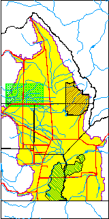
| USGS County | Saguache County |
| Elevation and Depth Data |
|---|
| Ground Elevation (ft NAVD88) | 7629.53000000000 |
| Elevation Data Source | USGS GWSI database |
| USGS Ground Elevation (ft NGVD29) | 7625.00 |
| 1/3-Arc Second NED Ground Elevation (ft NAVD88) | 7630.70 |
| 1-Arc Second NED Ground Elevation (ft NAVD88) | 7630.67 |
| SRTM Ground Elevation (ft NAVD88) | 7640.77 |
| Total Depth (ft) | 93.00 |
| USGS Well Depth (ft) | 93.00 |
| Model Layer | 1 |
| Model Layer Source | Well Depth |
| Depth of Bottom of Layer 1 | 92 |
| Depth of Bottom of Layer 2 | 163 |
| Depth of Bottom of Layer 3 | 575 |
| Depth of Bottom of Layer 4 | 2485 |
| Additional Well Information | Geohydrology, Construction |
| Aquifer Information |
|---|
| Aquifer Type | Unconfined |
| Aquifer Type Source | TD Elevation/Model Layer |
| USGS Primary Aquifer | Cenozoic Erathem |
| USGS Hydrologic Unit | Saguache |
| USGS Data Available | Water-level (GW.LEV) |
| Water-level Database Information |
|---|
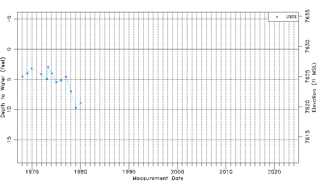
| Water-level Count | 13 |
| Water-level Date Range | 01/16/1968 thru 01/17/1980 |
| Monitored within the last 18 months | No, most recently on 01/17/1980 |
| Depth-to-Water Range (ft) | 2.95 to 9.74 |
| Water Table Elevation Range (ft NAVD88) | 7619.79 to 7626.58 |
| Water-Level-Source:Number-of-Measurements | USGS:13 |