| Well Information Table |
|---|
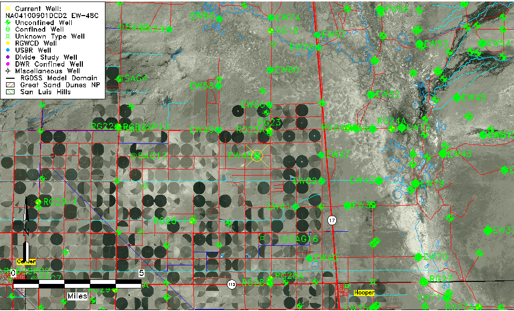
| Common Well ID | NA04100901DCD2 EW-48C |
| USBR Well ID | EW48C |
| USGS Well ID | 374918105561402 |
| USGS Station Name | NA04100901DCD2 EW-48C |
| USGS Site Type | Well |
| USGS Site Use Information | Observation |
| USGS Groundwater Use Information | Unknown |
| Data Source(s) | USGS, USBR |
| Location Data |
|---|
| TRS | NA04100901DCD2 EW-48C |
| USBR TRS | NA04100901DCD2 |
| USGS TRS 1 | NA04100901DCD2 EW-48C |
| Longitude/Latitude (NAD83) | -105.93785390 , 37.82160275 |
| Longitude/Latitude Data Source | USBOR EW well locations |
| USGS Longitude/Latitude (NAD83) | -105.9377983 , 37.82166620 |
| USBR Longitude/Latitude (NAD27) | -105.937277802030 , 37.8216032094952 |
| Easting, Northing RGDSS-NAD83 (US ft) | 123840.10 , 300692.30 |
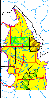
| USGS County | Saguache County |
| Elevation and Depth Data |
|---|
| Ground Elevation (ft NAVD88) | 7559.88000000000 |
| Elevation Data Source | USBOR EW well database |
| USBR Ground Elevation (ft NGVD29) | 7556.0 |
| USGS Ground Elevation (ft NGVD29) | 7556.02 |
| 1/3-Arc Second NED Ground Elevation (ft NAVD88) | 7559.07 |
| 1-Arc Second NED Ground Elevation (ft NAVD88) | 7559.44 |
| SRTM Ground Elevation (ft NAVD88) | 7568.17 |
| Total Depth (ft) | 120.00 |
| USBR Total Depth (ft) | 120 |
| USGS Well Depth (ft) | 118.00 |
| Model Layer | 2 |
| Model Layer Source | Well Depth |
| Depth of Bottom of Layer 1 | 96 |
| Depth of Bottom of Layer 2 | 196 |
| Depth of Bottom of Layer 3 | 1110 |
| Depth of Bottom of Layer 4 | 3072 |
| Additional Well Information | NONE |
| Aquifer Information |
|---|
| Aquifer Type | Confined |
| Aquifer Type Source | EW_AQFR |
| USGS Hydrologic Unit | San Luis |
| USGS Data Available | Water-level (GW.LEV) |
| Water-level Database Information |
|---|
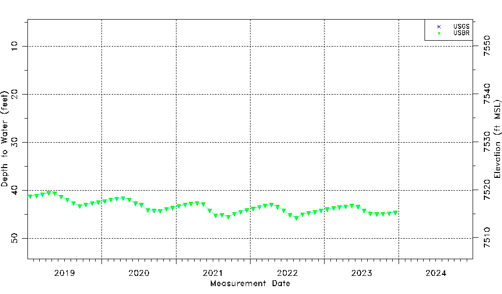
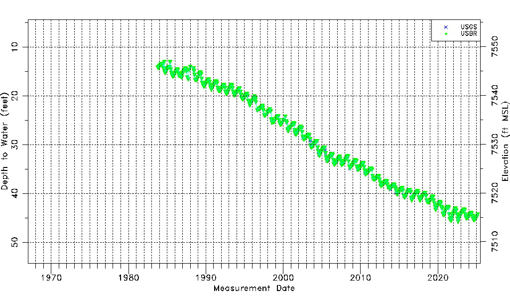
| Water-level Count | 551 |
| Water-level Date Range | 10/19/1983 thru 12/15/2023 |
| Monitored within the last 18 months | Yes, most recently on 12/15/2023 |
| Depth-to-Water Range (ft) | 12.94 to 45.70 |
| Water Table Elevation Range (ft NAVD88) | 7514.18 to 7546.94 |
| Water-Level-Source:Number-of-Measurements | USGS:88 USBR:475 |