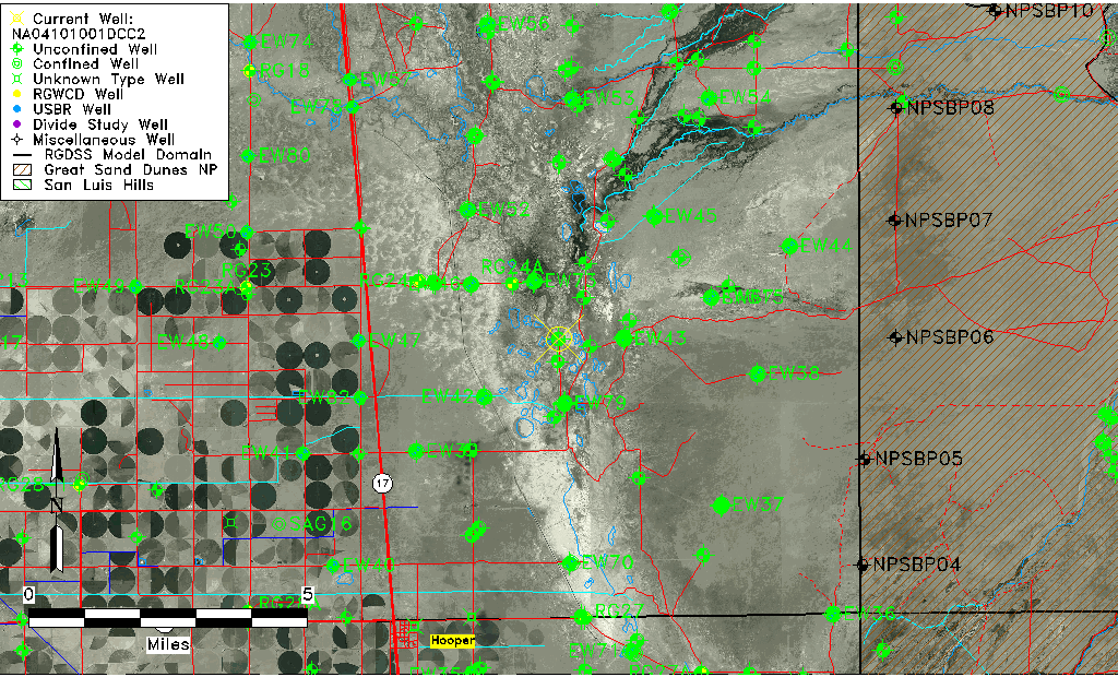
| Well Information Table |
|---|
| Common Well ID | NA04101001DCC2 |
| USGS Well ID | 374922105493601 |
| GSDNP Well Name | 374922105493601 |
| USGS Station Name | NA04101001DCC2 |
| USGS Site Type | Well |
| USGS Site Use Information | Observation |
| USGS Groundwater Use Information | Unused |
| Data Source(s) | USGS |
| Location Data |
|---|
| TRS | NA04101001DCC2 |
| USGS TRS 1 | NA04101001DCC2 |
| Longitude/Latitude (NAD83) | -105.82655560 , 37.82277778 |
| Longitude/Latitude Data Source | GWSI decimal LAT/LONG field |
| USGS Longitude/Latitude (NAD83) | -105.8265556 , 37.82277778 |
| Easting, Northing RGDSS-NAD83 (US ft) | 155979.95 , 301045.48 |
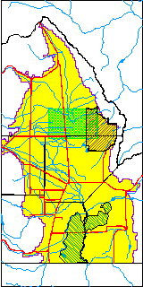
| USGS County | Saguache County |
| Elevation and Depth Data |
|---|
| Ground Elevation (ft NAVD88) | 7542.92000000000 |
| Elevation Data Source | USGS GWSI database |
| USGS Ground Elevation (ft NGVD29) | 7539.00 |
| 1/3-Arc Second NED Ground Elevation (ft NAVD88) | 7533.84 |
| 1-Arc Second NED Ground Elevation (ft NAVD88) | 7535.80 |
| SRTM Ground Elevation (ft NAVD88) | 7541.34 |
| Total Depth (ft) | 15.10 |
| USGS Well Depth (ft) | 15.10 |
| Model Layer | 1 |
| Model Layer Source | Well Depth |
| Depth of Bottom of Layer 1 | 101 |
| Depth of Bottom of Layer 2 | 295 |
| Depth of Bottom of Layer 3 | 1583 |
| Depth of Bottom of Layer 4 | 3908 |
| Additional Well Information | Construction |
| Aquifer Information |
|---|
| Aquifer Type | Unconfined |
| Aquifer Type Source | TD Elevation/Model Layer |
| USGS Aquifer Type | Unconfined Single Aquifer |
| USGS Hydrologic Unit | San Luis |
| USGS Data Available | Discharge (GW.DISC) |
| Water-level Database Information |
|---|
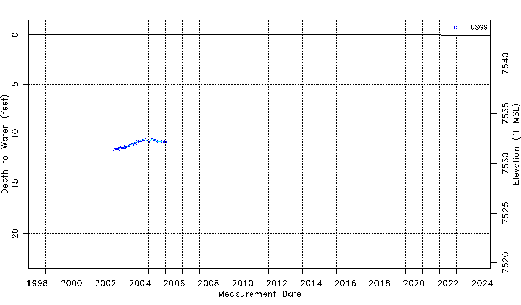
| Water-level Count | 23 |
| Water-level Date Range | 01/23/2003 thru 01/12/2006 |
| Monitored within the last 18 months | No, most recently on 01/12/2006 |
| Depth-to-Water Range (ft) | 10.50 to 11.52 |
| Water Table Elevation Range (ft NAVD88) | 7531.40 to 7532.42 |
| Water-Level-Source:Number-of-Measurements | USGSaguache Creek:23 |