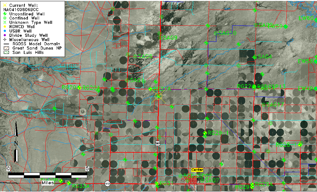
| Well Information Table |
|---|
| Common Well ID | NA04100806BCC |
| USGS Well ID | 374943106084801 |
| USGS Station Name | NA04100806BCC |
| USGS Site Type | Well |
| USGS Site Use Information | Withdrawal of Water |
| USGS Groundwater Use Information | Irrigation |
| Data Source(s) | USGS |
| Location Data |
|---|
| TRS | NA04100806BCC |
| USGS TRS 1 | NA04100806BCC |
| USGS TRS | SWSWNWS006T0041NR0008EN |
| Longitude/Latitude (NAD83) | -106.14724890 , 37.82861189 |
| Longitude/Latitude Data Source | GWSI decimal LAT/LONG field |
| USGS Longitude/Latitude (NAD83) | -106.1472489 , 37.82861189 |
| Easting, Northing RGDSS-NAD83 (US ft) | 63385.76 , 303488.02 |
| USGS Topography | Valley flat |
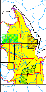
| USGS County | Saguache County |
| Elevation and Depth Data |
|---|
| Ground Elevation (ft NAVD88) | 7636.56000000000 |
| Elevation Data Source | USGS GWSI database |
| USGS Ground Elevation (ft NGVD29) | 7632.00 |
| 1/3-Arc Second NED Ground Elevation (ft NAVD88) | 7634.94 |
| 1-Arc Second NED Ground Elevation (ft NAVD88) | 7634.64 |
| SRTM Ground Elevation (ft NAVD88) | 7640.44 |
| Total Depth (ft) | 53.00 |
| USGS Well Depth (ft) | 53.00 |
| Model Layer | 1 |
| Model Layer Source | Well Depth |
| Depth of Bottom of Layer 1 | 81 |
| Depth of Bottom of Layer 2 | 138 |
| Depth of Bottom of Layer 3 | 488 |
| Depth of Bottom of Layer 4 | 2379 |
| Additional Well Information | Geohydrology, Construction |
| Aquifer Information |
|---|
| Aquifer Type | Unconfined |
| Aquifer Type Source | TD Elevation/Model Layer |
| USGS Primary Aquifer | Cenozoic Erathem |
| USGS Hydrologic Unit | Saguache |
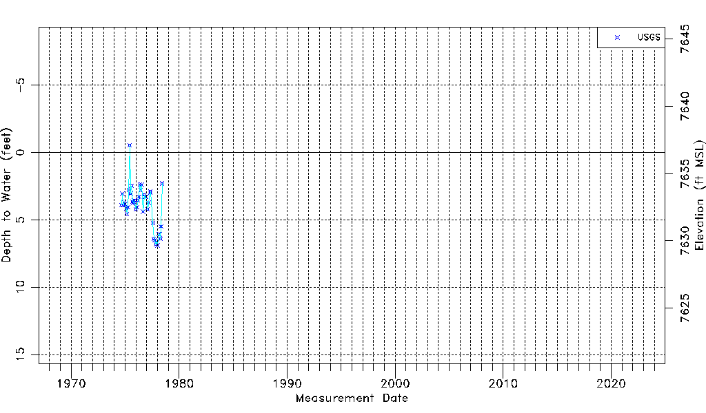
| USGS Data Available | Water-level (GW.LEV) |
| Water-level Database Information |
|---|
| Water-level Count | 42 |
| Water-level Date Range | 09/05/1974 thru 06/09/1978 |
| Monitored within the last 18 months | No, most recently on 06/09/1978 |
| Depth-to-Water Range (ft) | -0.54 to 6.90 |
| Water Table Elevation Range (ft NAVD88) | 7629.66 to 7637.10 |
| Water-Level-Source:Number-of-Measurements | USGSaguache Creek:42 |