| Well Information Table |
|---|
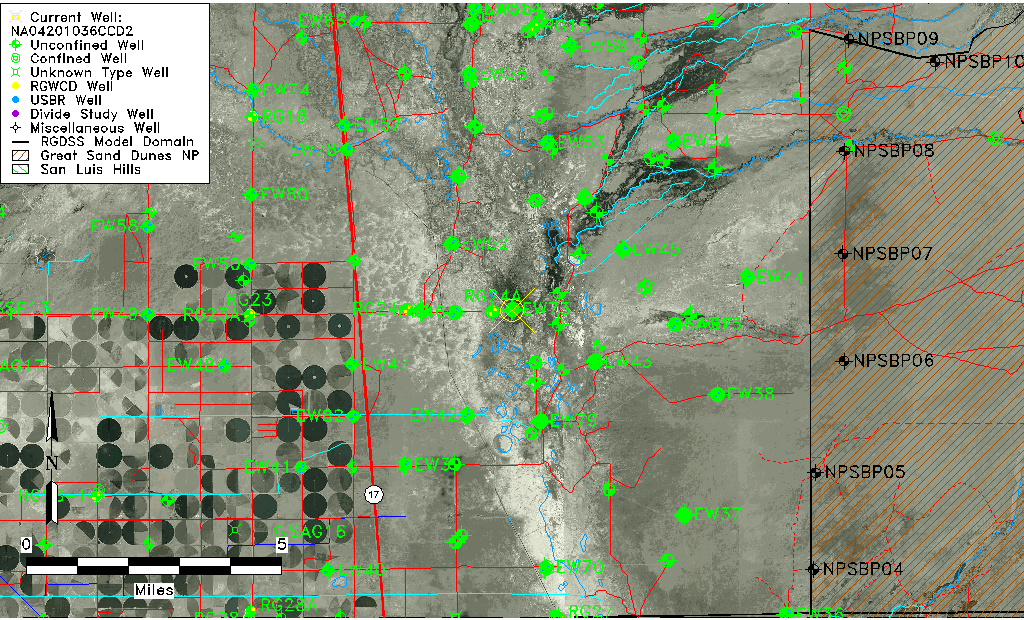
| Common Well ID | NA04201036CCD2 |
| USGS Well ID | 375015105500401 |
| GSDNP Well Name | 375015105500401 |
| USGS Station Name | NA04201036CCD2 |
| USGS Construction Date | 01/20/1978 |
| USGS Site Type | Well |
| USGS Site Use Information | Observation |
| USGS Groundwater Use Information | Unknown |
| Data Source(s) | USGS |
| Location Data |
|---|
| TRS | NA04201036CCD2 |
| USGS TRS 1 | NA04201036CCD2 |
| Longitude/Latitude (NAD83) | -105.83501800 , 37.83749948 |
| Longitude/Latitude Data Source | GWSI decimal LAT/LONG field |
| USGS Longitude/Latitude (NAD83) | -105.8350180 , 37.83749948 |
| Easting, Northing RGDSS-NAD83 (US ft) | 153546.09 , 306408.92 |
| USGS Topography | Valley flat |
| USGS County | Saguache County |
| USGS Map Name | DEADMAN CAMP |
| USGS Map Scale | 24000 |
| Elevation and Depth Data |
|---|
| Ground Elevation (ft NAVD88) | 7536.00000000000 |
| Elevation Data Source | USGS GWSI database |
| USGS Ground Elevation (ft NGVD29) | 7532.10 |
| 1/3-Arc Second NED Ground Elevation (ft NAVD88) | 7538.76 |
| 1-Arc Second NED Ground Elevation (ft NAVD88) | 7536.84 |
| SRTM Ground Elevation (ft NAVD88) | 7536.52 |
| Total Depth (ft) | 9.50 |
| USGS Hole Depth (ft) | 9.50 |
| USGS Well Depth (ft) | 9.50 |
| Model Layer | 1 |
| Model Layer Source | Well Depth |
| Depth of Bottom of Layer 1 | 95 |
| Depth of Bottom of Layer 2 | 279 |
| Depth of Bottom of Layer 3 | 1551 |
| Depth of Bottom of Layer 4 | 4089 |
| Additional Well Information | Construction |
| Aquifer Information |
|---|
| Aquifer Type | Unconfined |
| Aquifer Type Source | TD Elevation/Model Layer |
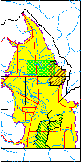
| USGS Hydrologic Unit | San Luis |
| USGS Data Available | Water-level (GW.LEV) |
| Water-level Database Information |
|---|
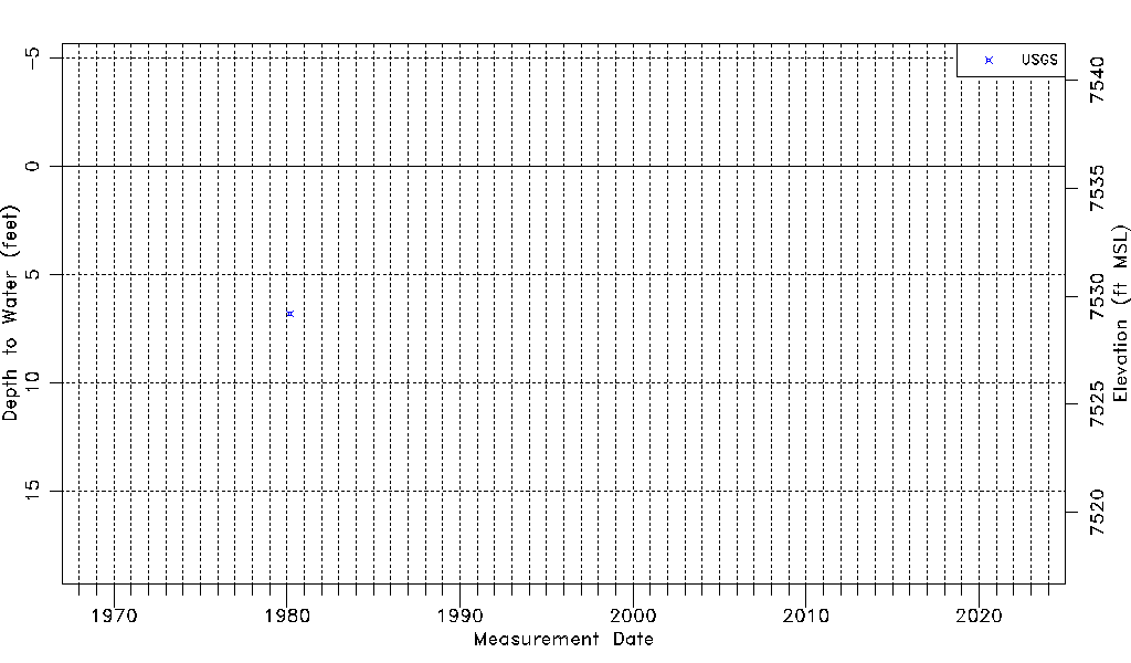
| Water-level Count | 1 |
| Water-level Date Range | 03/06/1980 thru 03/06/1980 |
| Monitored within the last 18 months | No, most recently on 03/06/1980 |
| Depth-to-Water Range (ft) | 6.80 to 6.80 |
| Water Table Elevation Range (ft NAVD88) | 7529.20 to 7529.20 |
| Water-Level-Source:Number-of-Measurements | USGS:1 |