| Well Information Table |
|---|
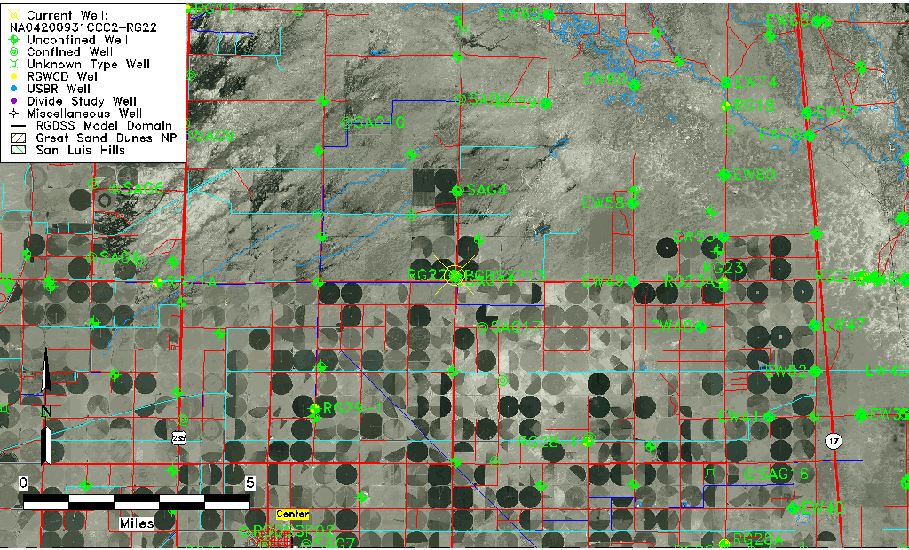
| Common Well ID | NA04200931CCC2-RG22 |
| USGS Well ID | 375016106021202 |
| USGS Station Name | NA04200931CCC2-RG22 |
| USGS Site Type | Well |
| USGS Site Use Information | Unknown |
| USGS Groundwater Use Information | Unknown |
| Data Source(s) | USGS |
| Location Data |
|---|
| TRS | NA04200931CCC2-RG22 |
| USGS TRS 1 | NA04200931CCC2-RG22 |
| USGS TRS | S31 T42N R09E N |
| Longitude/Latitude (NAD83) | -106.03724500 , 37.83777760 |
| Longitude/Latitude Data Source | GWSI decimal LAT/LONG field |
| USGS Longitude/Latitude (NAD83) | -106.0372450 , 37.83777760 |
| Easting, Northing RGDSS-NAD83 (US ft) | 95162.38 , 306679.53 |
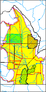
| USGS County | Saguache County |
| USGS Map Name | CENTER NORTH, CO |
| USGS Map Scale | 24000 |
| Elevation and Depth Data |
|---|
| Ground Elevation (ft NAVD88) | 7580.00000000000 |
| Elevation Data Source | USGS GWSI database |
| USGS Ground Elevation (ft NAVD88) | 7580.00 |
| 1/3-Arc Second NED Ground Elevation (ft NAVD88) | 7580.35 |
| 1-Arc Second NED Ground Elevation (ft NAVD88) | 7580.78 |
| SRTM Ground Elevation (ft NAVD88) | 7588.58 |
| Depth of Bottom of Layer 1 | 102 |
| Depth of Bottom of Layer 2 | 218 |
| Depth of Bottom of Layer 3 | 670 |
| Depth of Bottom of Layer 4 | 2435 |
| Additional Well Information | NONE |
| Aquifer Information |
|---|
| Aquifer Type | Unknown |
| Aquifer Type Source | None |
| USGS Hydrologic Unit | Saguache |
| USGS Data Available | Water-level (GW.LEV) |
| Water-level Database Information |
|---|
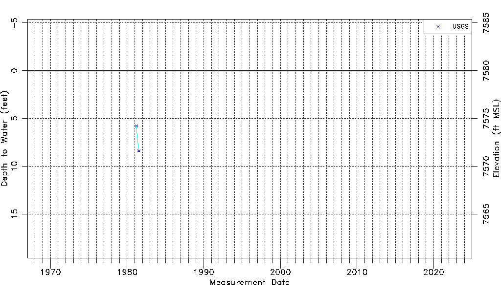
| Water-level Count | 2 |
| Water-level Date Range | 03/25/1981 thru 07/13/1981 |
| Monitored within the last 18 months | No, most recently on 07/13/1981 |
| Depth-to-Water Range (ft) | 5.80 to 8.40 |
| Water Table Elevation Range (ft NAVD88) | 7571.60 to 7574.20 |
| Water-Level-Source:Number-of-Measurements | USGS:2 |