| Well Information Table |
|---|
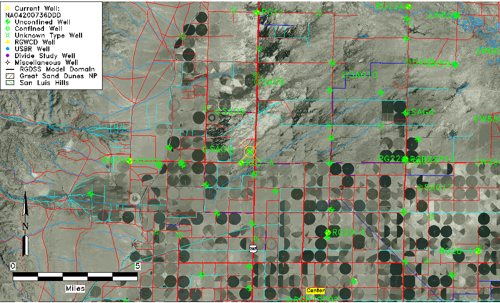
| Common Well ID | NA04200736DDD |
| USGS Well ID | 375030106090001 |
| USGS Station Name | NA04200736DDD |
| USGS Construction Date | 01/01/1947 |
| USGS Site Type | Well |
| USGS Site Use Information | Observation |
| USGS Groundwater Use Information | Unused |
| Data Source(s) | USGS |
| Location Data |
|---|
| TRS | NA04200736DDD |
| USGS TRS 1 | NA04200736DDD |
| USGS TRS | SESESES036T0042NR0007EN |
| Longitude/Latitude (NAD83) | -106.15058220 , 37.84166740 |
| Longitude/Latitude Data Source | GWSI decimal LAT/LONG field |
| USGS Longitude/Latitude (NAD83) | -106.1505822 , 37.84166740 |
| Easting, Northing RGDSS-NAD83 (US ft) | 62447.97 , 308245.81 |
| USGS Topography | Flat Surface |
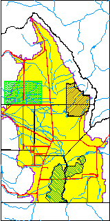
| USGS County | Saguache County |
| Elevation and Depth Data |
|---|
| Ground Elevation (ft NAVD88) | 7634.56000000000 |
| Elevation Data Source | USGS GWSI database |
| USGS Ground Elevation (ft NGVD29) | 7630.00 |
| 1/3-Arc Second NED Ground Elevation (ft NAVD88) | 7631.29 |
| 1-Arc Second NED Ground Elevation (ft NAVD88) | 7630.84 |
| SRTM Ground Elevation (ft NAVD88) | 7637.48 |
| Total Depth (ft) | 13.00 |
| USGS Well Depth (ft) | 13.00 |
| Model Layer | 1 |
| Model Layer Source | Well Depth |
| Depth of Bottom of Layer 1 | 80 |
| Depth of Bottom of Layer 2 | 117 |
| Depth of Bottom of Layer 3 | 438 |
| Depth of Bottom of Layer 4 | 2239 |
| Additional Well Information | Geohydrology, Construction |
| Aquifer Information |
|---|
| Aquifer Type | Unconfined |
| Aquifer Type Source | TD Elevation/Model Layer |
| USGS Primary Aquifer | Cenozoic Erathem |
| USGS Hydrologic Unit | Saguache |
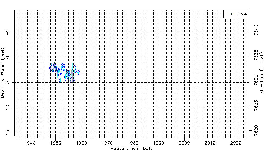
| USGS Data Available | Water-level (GW.LEV) |
| Water-level Database Information |
|---|
| Water-level Count | 113 |
| Water-level Date Range | 11/01/1947 thru 12/29/1958 |
| Monitored within the last 18 months | No, most recently on 12/29/1958 |
| Depth-to-Water Range (ft) | 1.12 to 5.03 |
| Water Table Elevation Range (ft NAVD88) | 7629.53 to 7633.44 |
| Water-Level-Source:Number-of-Measurements | USGS:113 |