| Well Information Table |
|---|
| Common Well ID | NA04200736CBB |
| USGS Well ID | 375035106095001 |
| USGS Station Name | NA04200736CBB |
| USGS Construction Date | 01/01/1962 |
| USGS Site Type | Well |
| USGS Site Use Information | Withdrawal of Water |
| USGS Groundwater Use Information | Irrigation |
| Data Source(s) | USGS |
| Location Data |
|---|
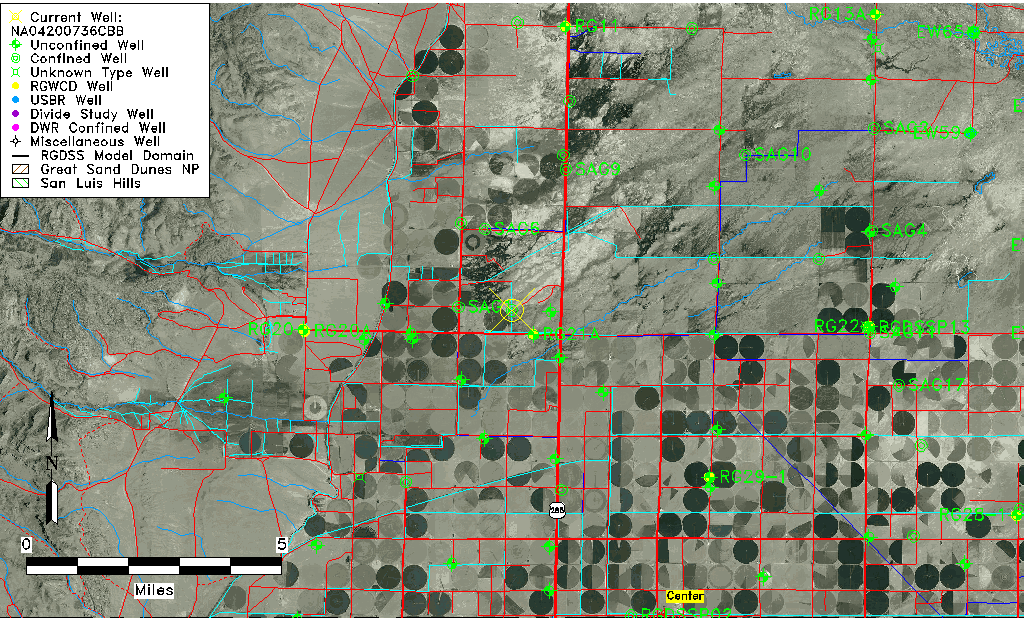
| TRS | NA04200736CBB |
| USGS TRS 1 | NA04200736CBB |
| USGS TRS | NWNWSWS036T0042NR0007EN |
| Longitude/Latitude (NAD83) | -106.16447150 , 37.84194530 |
| Longitude/Latitude Data Source | GWSI decimal LAT/LONG field |
| USGS Longitude/Latitude (NAD83) | -106.1644715 , 37.84194530 |
| Easting, Northing RGDSS-NAD83 (US ft) | 58438.68 , 308368.12 |
| USGS Topography | Valley flat |
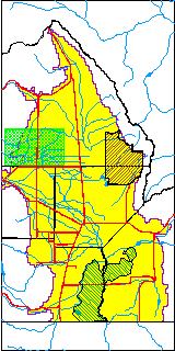
| USGS County | Saguache County |
| USGS Map Name | LA GARITA |
| USGS Map Scale | 24000 |
| Elevation and Depth Data |
|---|
| Ground Elevation (ft NAVD88) | 7637.59000000000 |
| Elevation Data Source | USGS GWSI database |
| USGS Ground Elevation (ft NGVD29) | 7633.00 |
| 1/3-Arc Second NED Ground Elevation (ft NAVD88) | 7636.44 |
| 1-Arc Second NED Ground Elevation (ft NAVD88) | 7636.47 |
| SRTM Ground Elevation (ft NAVD88) | 7634.83 |
| Total Depth (ft) | 950.00 |
| USGS Well Depth (ft) | 950.00 |
| Model Layer | 4 |
| Model Layer Source | Well Depth |
| Depth of Bottom of Layer 1 | 85 |
| Depth of Bottom of Layer 2 | 144 |
| Depth of Bottom of Layer 3 | 405 |
| Depth of Bottom of Layer 4 | 2021 |
| Additional Well Information | Geohydrology, Construction |
| Aquifer Information |
|---|
| Aquifer Type | Confined |
| Aquifer Type Source | TD Elevation/Model Layer |
| USGS Primary Aquifer | Cenozoic Erathem |
| USGS Hydrologic Unit | Saguache |
| USGS Data Available | Water-level (GW.LEV) |
| Water-level Database Information |
|---|
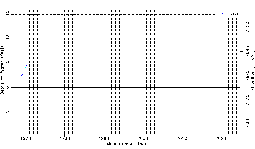
| Water-level Count | 2 |
| Water-level Date Range | 01/20/1969 thru 02/18/1970 |
| Monitored within the last 18 months | No, most recently on 02/18/1970 |
| Depth-to-Water Range (ft) | -4.50 to -2.50 |
| Water Table Elevation Range (ft NAVD88) | 7640.09 to 7642.09 |
| Water-Level-Source:Number-of-Measurements | USGS:2 |