| Well Information Table |
|---|
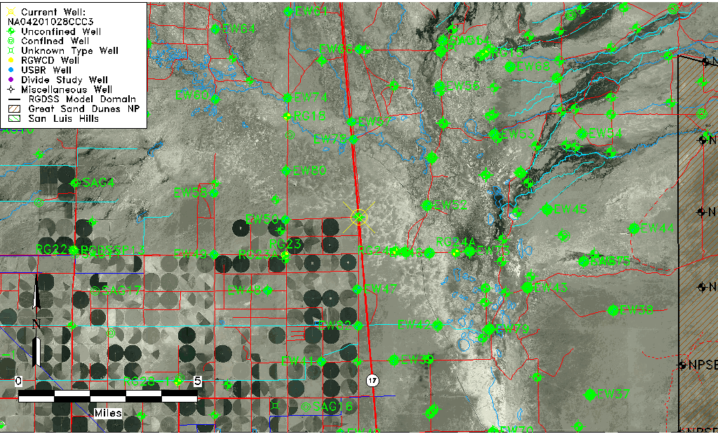
| Common Well ID | NA04201028CCC3 |
| USGS Well ID | 375105105532901 |
| USGS Station Name | NA04201028CCC3 |
| USGS Site Type | Well |
| USGS Site Use Information | Observation |
| USGS Groundwater Use Information | Unused |
| Data Source(s) | USGS |
| Location Data |
|---|
| TRS | NA04201028CCC3 |
| USGS TRS 1 | NA04201028CCC3 |
| Longitude/Latitude (NAD83) | -105.89133330 , 37.85136110 |
| Longitude/Latitude Data Source | GWSI decimal LAT/LONG field |
| USGS Longitude/Latitude (NAD83) | -105.8913333 , 37.85136110 |
| Easting, Northing RGDSS-NAD83 (US ft) | 137299.93 , 311489.46 |
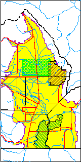
| USGS County | Saguache County |
| Elevation and Depth Data |
|---|
| Ground Elevation (ft NAVD88) | 7551.80000000000 |
| Elevation Data Source | USGS GWSI database |
| USGS Ground Elevation (ft NGVD29) | 7548.00 |
| 1/3-Arc Second NED Ground Elevation (ft NAVD88) | 7543.69 |
| 1-Arc Second NED Ground Elevation (ft NAVD88) | 7541.50 |
| SRTM Ground Elevation (ft NAVD88) | 7535.83 |
| Total Depth (ft) | 29.60 |
| USGS Well Depth (ft) | 29.60 |
| Model Layer | 1 |
| Model Layer Source | Well Depth |
| Depth of Bottom of Layer 1 | 93 |
| Depth of Bottom of Layer 2 | 213 |
| Depth of Bottom of Layer 3 | 1243 |
| Depth of Bottom of Layer 4 | 3638 |
| Additional Well Information | Construction |
| Aquifer Information |
|---|
| Aquifer Type | Unconfined |
| Aquifer Type Source | TD Elevation/Model Layer |
| USGS Aquifer Type | Unconfined Single Aquifer |
| USGS Hydrologic Unit | San Luis |
| USGS Data Available | Discharge (GW.DISC) |
| Water-level Database Information |
|---|
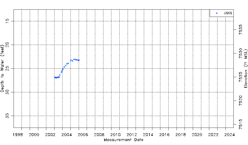
| Water-level Count | 23 |
| Water-level Date Range | 01/24/2003 thru 01/12/2006 |
| Monitored within the last 18 months | No, most recently on 01/12/2006 |
| Depth-to-Water Range (ft) | 23.09 to 26.95 |
| Water Table Elevation Range (ft NAVD88) | 7524.85 to 7528.71 |
| Water-Level-Source:Number-of-Measurements | USGS:23 |