| Well Information Table |
|---|
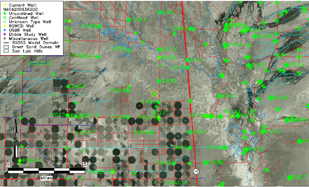
| Common Well ID | NA04200936DDD |
| USGS Well ID | 375130105560001 |
| USGS Station Name | NA04200936DDD |
| USGS Construction Date | 01/01/1948 |
| USGS Site Type | Well |
| USGS Site Use Information | Observation |
| USGS Groundwater Use Information | Unused |
| Data Source(s) | USGS |
| Location Data |
|---|
| TRS | NA04200936DDD |
| USGS TRS 1 | NA04200936DDD |
| USGS TRS | SESESES036T0042NR0009EN |
| Longitude/Latitude (NAD83) | -105.93390850 , 37.85833280 |
| Longitude/Latitude Data Source | GWSI decimal LAT/LONG field |
| USGS Longitude/Latitude (NAD83) | -105.9339085 , 37.85833280 |
| Easting, Northing RGDSS-NAD83 (US ft) | 125017.88 , 314059.99 |
| USGS Topography | Flat Surface |
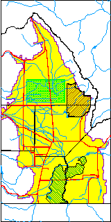
| USGS County | Saguache County |
| Elevation and Depth Data |
|---|
| Ground Elevation (ft NAVD88) | 7553.84000000000 |
| Elevation Data Source | USGS GWSI database |
| USGS Ground Elevation (ft NGVD29) | 7550.00 |
| 1/3-Arc Second NED Ground Elevation (ft NAVD88) | 7548.83 |
| 1-Arc Second NED Ground Elevation (ft NAVD88) | 7549.10 |
| SRTM Ground Elevation (ft NAVD88) | 7555.55 |
| Total Depth (ft) | 10.00 |
| USGS Well Depth (ft) | 10.00 |
| Model Layer | 1 |
| Model Layer Source | Well Depth |
| Depth of Bottom of Layer 1 | 90 |
| Depth of Bottom of Layer 2 | 174 |
| Depth of Bottom of Layer 3 | 973 |
| Depth of Bottom of Layer 4 | 3117 |
| Additional Well Information | Geohydrology, Construction |
| Aquifer Information |
|---|
| Aquifer Type | Unconfined |
| Aquifer Type Source | TD Elevation/Model Layer |
| USGS Primary Aquifer | Cenozoic Erathem |
| USGS Hydrologic Unit | San Luis |
| USGS Data Available | Water-level (GW.LEV) |
| Water-level Database Information |
|---|
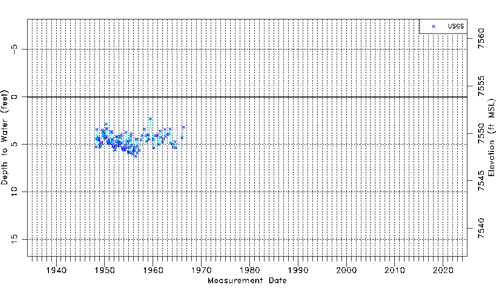
| Water-level Count | 136 |
| Water-level Date Range | 04/01/1948 thru 05/11/1966 |
| Monitored within the last 18 months | No, most recently on 05/11/1966 |
| Depth-to-Water Range (ft) | 2.30 to 6.27 |
| Water Table Elevation Range (ft NAVD88) | 7547.57 to 7551.54 |
| Water-Level-Source:Number-of-Measurements | USGSaguache Creek:136 |