| Well Information Table |
|---|
| Common Well ID | NA04200824DDD |
| USGS Well ID | 375154106021101 |
| USGS Station Name | NA04200824DDD |
| USGS Construction Date | 08/14/1993 |
| USGS Site Type | Well |
| USGS Site Use Information | Observation |
| USGS Groundwater Use Information | Unused |
| Data Source(s) | USGS |
| Location Data |
|---|
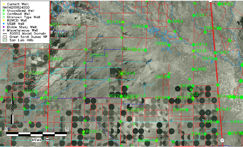
| TRS | NA04200824DDD |
| USGS TRS 1 | NA04200824DDD |
| USGS TRS | SESESES 24T 42NR 8E |
| Longitude/Latitude (NAD83) | -106.03658330 , 37.86471944 |
| Longitude/Latitude Data Source | GWSI decimal LAT/LONG field |
| USGS Longitude/Latitude (NAD83) | -106.0365833 , 37.86471944 |
| Easting, Northing RGDSS-NAD83 (US ft) | 95392.46 , 316486.69 |
| USGS Topography | Valley flat |
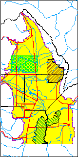
| USGS County | Saguache County |
| USGS Map Name | CENTER NORTH |
| USGS Map Scale | 2400 |
| Elevation and Depth Data |
|---|
| Ground Elevation (ft NAVD88) | 7573.00000000000 |
| Elevation Data Source | USGS GWSI database |
| USGS Ground Elevation (ft NAVD88) | 7573.00 |
| 1/3-Arc Second NED Ground Elevation (ft NAVD88) | 7571.40 |
| 1-Arc Second NED Ground Elevation (ft NAVD88) | 7571.52 |
| SRTM Ground Elevation (ft NAVD88) | 7578.76 |
| Total Depth (ft) | 14.65 |
| USGS Hole Depth (ft) | 15.00 |
| USGS Well Depth (ft) | 14.65 |
| Model Layer | 1 |
| Model Layer Source | Well Depth |
| Depth of Bottom of Layer 1 | 68 |
| Depth of Bottom of Layer 2 | 190 |
| Depth of Bottom of Layer 3 | 569 |
| Depth of Bottom of Layer 4 | 2421 |
| Additional Well Information | Logs, Geohydrology, Construction, Aquifer |
| Aquifer Information |
|---|
| Aquifer Type | Unconfined |
| Aquifer Type Source | TD Elevation/Model Layer |
| USGS Primary Aquifer | 112ALMS |
| USGS Aquifer Type | Unconfined Single Aquifer |
| USGS Hydrologic Unit | Saguache |
| USGS Data Available | Water-level (GW.LEV) |
| Water-level Database Information |
|---|
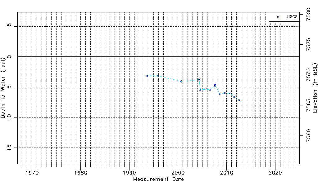
| Water-level Count | 14 |
| Water-level Date Range | 08/31/1993 thru 07/26/2012 |
| Monitored within the last 18 months | No, most recently on 07/26/2012 |
| Depth-to-Water Range (ft) | 3.12 to 7.16 |
| Water Table Elevation Range (ft NAVD88) | 7565.84 to 7569.88 |
| Water-Level-Source:Number-of-Measurements | USGSaguache Creek:14 |